3DNL | 24 January 2022
Een nieuwe dimensie
2022 staat in het teken van vooruitgang. Voldoet een 2D GIS nog wel als het aankomt op het oplossen en visualiseren van complexe problemen die we in de echte wereld tegenkomen? Of is er meer nodig om veranderingen te simuleren en te presenteren? 3D is de toekomst en dit is waarom.
GISteren
Een GIS wordt gebruikt om informatie over de buitenwereld in vast te leggen. Denk daarbij aan wegen, gebouwen, vegetatie, bruggen etc. Prima om data te beheren, te analyseren en te delen, zeker als die data van uitstekende kwaliteit is en overzichtelijk in beeld gebracht kan worden. Voldoet het traditionele 2D GIS echter nog wel aan de standaarden die vandaag de dag vereist worden om een snel veranderende wereld in kaart te brengen en aan te passen? Wellicht in sommige gevallen wel, maar 3D is geen toekomstmuziek meer, maar het nieuwe morgen.
Twinning is winning
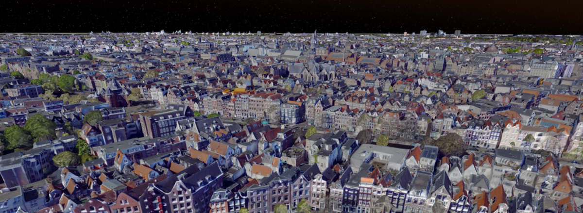
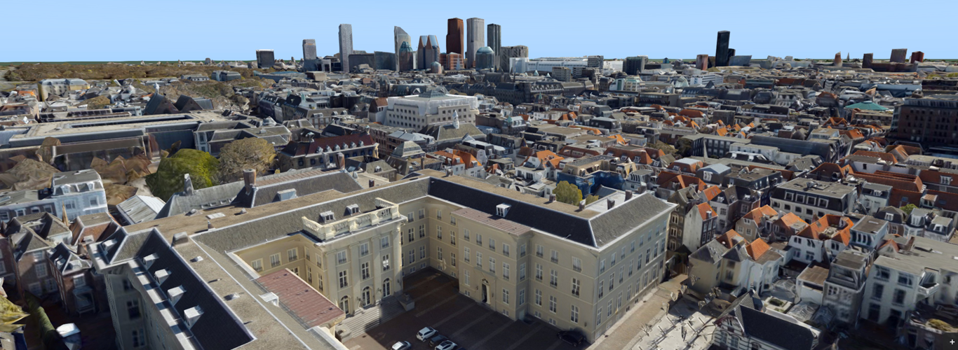
Een digitale tweeling is een virtuele representatie van de echte wereld. Waarschijnlijk heb je er wel eens van gehoord. Zo’n digitale tweeling maakt het voor overheden en bedrijven mogelijk om bijvoorbeeld virtuele modellen van fysieke objecten of gebouwen (BIM) te creeëren en deze vervolgens tot leven te wekken. De mogelijkheden beperken zich niet alleen tot het plaatsen van objecten, want zelfs de impact van zo’n nieuw object kan gesimuleerd worden in een digitale tweeling. Denk daarbij aan het simuleren van schaduw wanneer er een hoog gebouw of een windmolen geplaatst moet worden of aan de slimme zichtlijnanalyse. De laatstgenoemde maak het mogelijk om in de digitale weergave van de werkelijkheid te simuleren hoe ver het menselijk oog of een beveiligingscamera reikt vanaf een bepaald punt. Safety first!

Wat kan het voor jou betekenen?
Als professional loop je waarschijnlijk dagelijks tegen problemen aan die met de switch van 2D naar 3D verleden tijd zijn. Met de digitale tweeling beschik je over meer visuele referentie, betere contextuele duiding, de mogelijkheid om uitgebreide analyses uit te voeren nog vóórdat iets daadwerkelijk plaatsvindt in de echte wereld, en zélfs over de mogelijkheid om belangrijke stakeholders of burgers mee te nemen op een reis door je plannen. Maak de toekomst werkelijkheid nog voordat hij begonnen is en ga met Cyclomedia mee op 3D reis.
