Green city | 09 Januar 2020
Listicle: 10 innovative solutions for a greener city
Our cities have to become greener. Cutting down on carbon emissions, creating more green spaces, and facilitating sustainable lifestyles for citizens are probably at the top of your to-do list for the coming years. Investing in green initiatives proves to be financially beneficial for a city, and shows positive ROI in the long run. But how do you get started? We have collected 10 examples from all over the world to inspire you. From the German city of Giessen that replaced all street lighting with LEDs, to Copenhagen’s ambition to become entirely carbon neutral.
Creative and effective ways to make your city future-proof
1. The value of New York’s trees
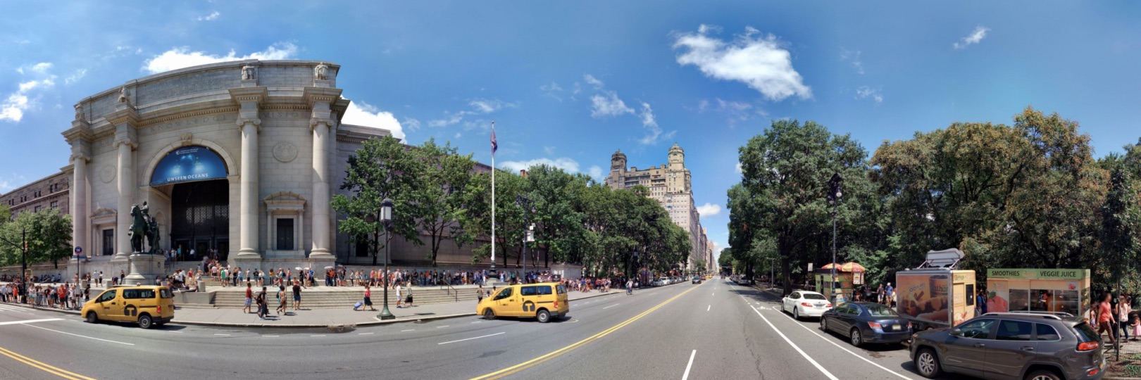
New York City created the world’s most accurate and detailed map of a city’s street trees. The virtual map gives all citizens access to information about every tree in town. They can explore the urban forest, mark trees as favourites, share them with friends and record caretaking. Knowing trees improve the environment and health of a city in measurable ways, NYC calculated the benefits that the trees provide. Every year they absorb 612.508 tons of carbon dioxide and 635 tons of air pollutants, and they conserve 667.975.487 kWh of energy. Using formulas from the U.S. Forest Service, NYC translated this also into financial values. Coming down to the amount of 158 dollars of ecological benefits per tree.
2. LEDs in Giessen, Germany
Giessen has replaced traditional street lighting with LEDs in order to cut down on CO2 emissions. The first step was to determine the number of street lights. The usage of panoramic images provides information about exact location, the type of street light and the direct surroundings, which can be added to the database of assets. Meanwhile, 4.000 lights in Giessen have already been converted to use LED technology. And the remaining street lights are already scheduled to be replaced. The results so far? 370.000 euros saved, 1.000 tons of CO2 emissions averted, and 1.6 million kilowatt-hours conserved.
3. Mülheim an der Ruhr’s waste management
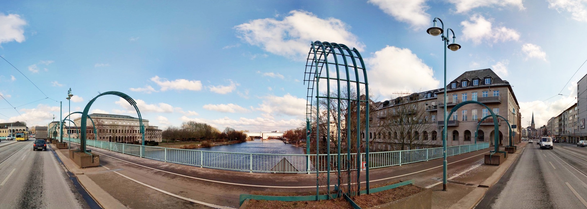
The city of Mülheim an der Ruhr wanted to improve their waste management. First step? Getting insights. Mülheim uses imagery data to optimize garbage collection routes. For example, in some streets, legislation doesn’t allow a driver to turn a vehicle around if they’re on their own. A second person must be present to help. Mülheim uses data to find out which routes can be handled by just one driver and on which routes a second driver is necessary. The data also helps measure the width of roads or sidewalks to find out if there is enough space for waste containers.


4. Stormwater infrastructure in Arizona
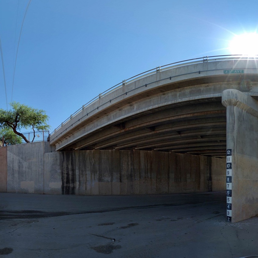
Stormwater runoff is one of the main causes of water pollution in the United States. Rain or meltwater that does not percolate into the ground flows directly into surrounding waters. Especially in urban areas this runoff water collects a lot of pollutants along the way. Maricopa County in Arizona mapped its stormwater infrastructure in order to optimize it. With the use of ground-based imagery they determined the condition and capacity of their stormwater infrastructure. All in order to eventually improve stormwater pipes and flood control structures.
5. The living walls of Paris Paris struggles with high levels of air pollution, prompting mayor Anne Hidalgo to enact a law that enables all Parisians to create urban gardens. Walls, rooftops, and fences are all free to be covered with flowers, plants, and even vegetable gardens. To stimulate the project, the city shares suggestions and examples and hands out seeds to its citizens. Of course, the maintenance of these urban gardens is also in the hands of the participants so they have to sign a contract. The goal is to create 100 hectares of living walls and green roofs by 2020
6. Parking in Frankfurt To tackle their climate impact, the city of Frankfurt focused on connecting city areas. By taking a closer look at parking management, for example. To ensure a healthy city, they’re channeling traffic out of the city. With the help of image data, Frankfurt investigated the status to find out where in the city there is still free parking and what kind of street parking is available (citizens only, special timing only). They also investigate possible locations for ticket machines and check where parking is too cheap. Image data is also used to identify space outside the city that could be converted into parking spots. They made these new parking areas much cheaper, so visitors choose to park outside the city center and use public transport to get to their destination. This not only relieves the environment, but also reduces city traffic.
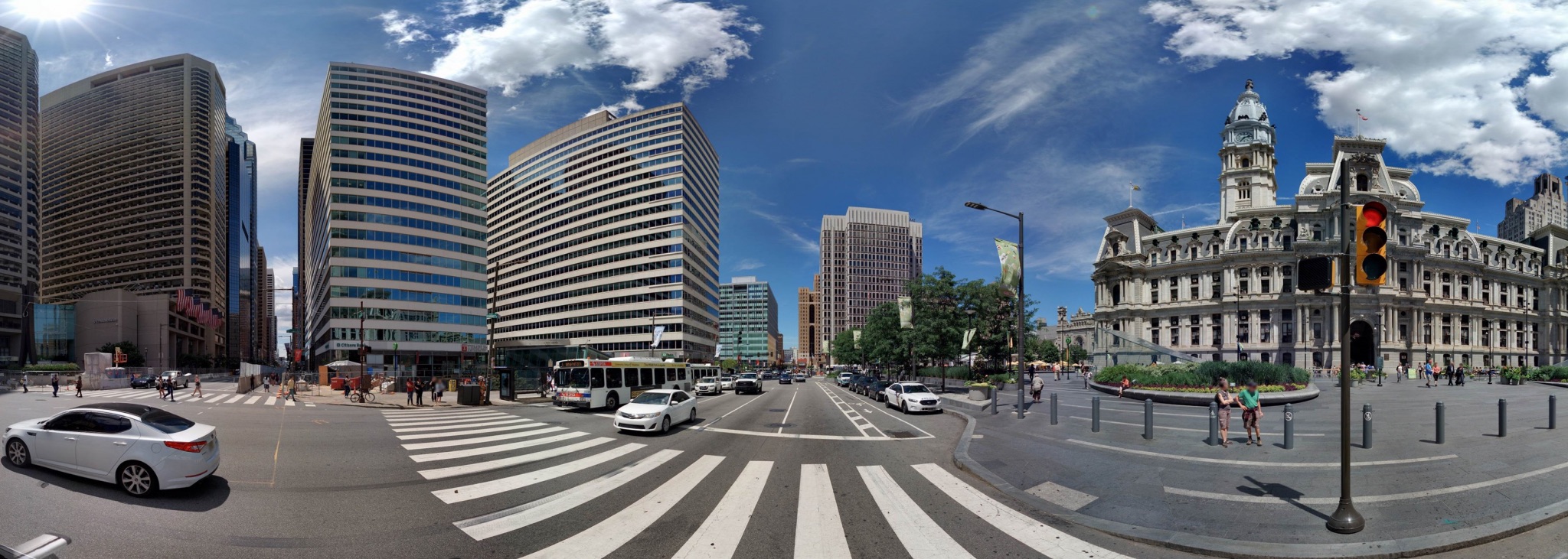
7. Trees in Philadelphia Also Philadelphia plans to create an ‘urban forest’. Their goal? 30% of the city’s surface has to be filled with trees. To kick off the project, Philadelphia created an inventory of the 112.000 trees currently in the city. This living database contains detailed images and information on the whereabouts, species, health status and potential hazards of all the bushes and trees in the city. Using a detailed map, the city can protect its green areas as well as plan and support new tree-planting projects. TreePhilly is one such project and provides trees for Philadelphians. These trees can either be planted in their yard or on the street in front of their home. For free!

8. New York’s environmental protection
In New York, stormwater runoff from streets, sidewalks, parking lots and rooftops is directed and controlled. The New York City Department of Environmental Protection utilizes imagery data to find areas in the city where they can eventually build infrastructure promoting the natural movement of water. This natural movement is supported by collecting and managing stormwater. Directing this water to engineered systems typically comprised of soil, stones and vegetation prevent stormwater from entering the city’s sewer system.
9. Rooftop Revolution in Amsterdam
To bring back more green to urban areas, the Dutch organization Rooftop Revolution is supporting nature right in the middle of cities. Where? On the roofs! In the Netherlands, there are about 400 square kilometers of flat roofs (that’s about as big as 600.000 soccer fields) that could be home to a lot of healthy and beautiful vegetation. The goal of the Rooftop Revolution is to greenify 10% of Dutch rooftops by 2020.
10. CO2-free Copenhagen
Copenhagen wants to become the world’s first carbon-neutral city by 2025. One of the big plans the city has in store is Amager Bakke, a Waste-to-Energy Plant which opened on March 30th, 2017. The plant receives and processes waste from about 550.000 citizens and 45.000 companies. In return, it delivers electricity and heating to 150.000 households. On the rooftop of this huge power station, you’ll find a ski slope and recreational hiking area. That’s right: nature. According to Rasmus Astrup, Amager Bakke is to “function as a generous ‘green bomb’ that will radically green up the entire area”. The scale of this enormous project shows that the Danish capital is thinking outside the box to really become carbon neutral.
These examples show a range of possibilities. Are you ready to start planning for a greener city? At Cyclomedia, we can provide insights to help you hit the ground running.
