World leading cities use smart visual data to improve sustainability
Your guide to Green Cities
Battling climate change is a complex issue that requires different approaches. Find out which opportunities smart visual data offers and how it can help to reduce the risks of climate change in your city. Download the E-guide 'Creating a green city - 7 ways to efficiently reduce the impact of climate change in your city'.
Map and manage trees and vegetation
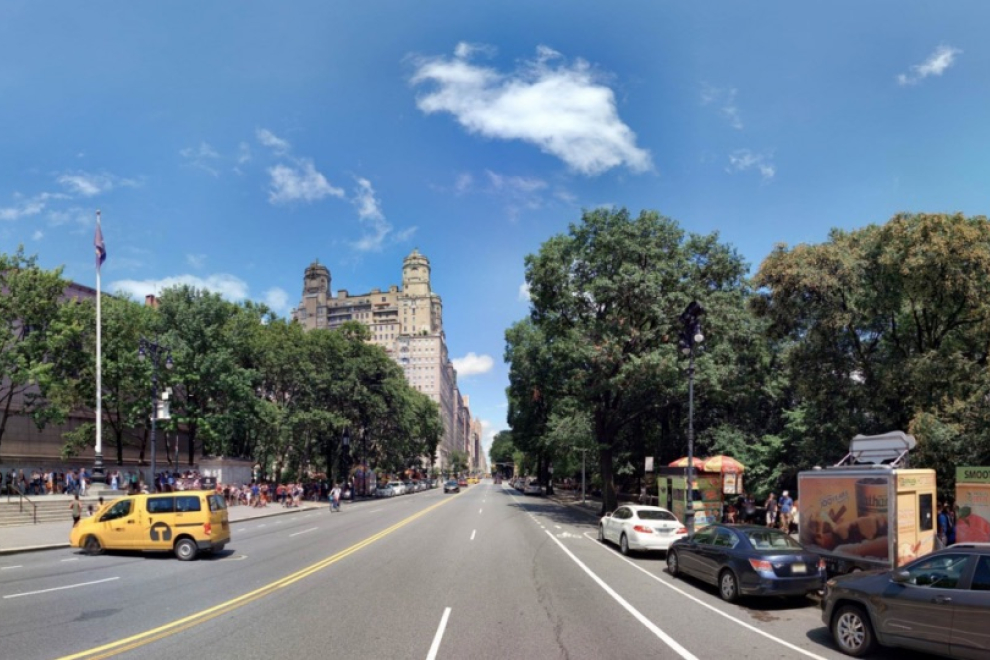
Visualisation can help you map all the trees within your city so you can prioritise, manage and plan greenery. The same image inventory can be used to identify tree hazards and to carry out field inspections. For example, the city of New York created a tree database by mapping all the 694.674 trees in the city with the help of Cyclomedia’s high-resolution imagery and data analytics. This means they now know the exact location, species, and health status of every tree in the city.
NYC calculated the environmental benefits of their tree population: every year they absorb 612,100 tons of carbon dioxide and 635 tons of air pollutants and conserve 667.590.884 kWh of energy. This all adds up to a total financial value of $109,842,256.23 per year.
Intelligent planning of green spaces
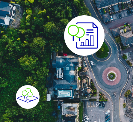
Having a detailed view of your city makes planning green spaces much easier. With smart visual data, you can identify potential spaces that can be converted while considering building and infrastructure requirements. You can also visualise structures, transportation patterns, utilities, and street furniture.
Aerial and street-level imagery will provide you with a visual inventory of existing parks and detailed views of possible new green areas. Lending a hand to help reach CO2 reduction goals, becoming carbon neutral, managing stormwater, flooding or even heatwaves.
Drastically reduce the number of site visits
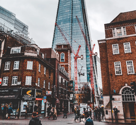
Checking construction permits, verifying planned works, planning requests, or identifying relevant assets and trees in public spaces usually require time-consuming site visits by car.
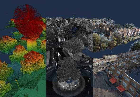
With the use of high resolutions panoramic images, LiDAR, point clouds and public space data visits can be reduced significantly as every aspect of the city are available digitally.
This data not only makes the way of working much easier and faster but also leads to a substantial reduction in CO2. In the Netherlands, using street-level imagery cuts around 9 million car journeys every year. Saving 9.6 tons of CO2 in the country, alone.
See how smart visual data can help your city reduce the impact of climate change
A complex issue like climate change cannot be addressed by one solution alone. Fortunately, with the help of smart visual data you have many different options available, making your city a greener, healthier, and more sustainable place to live.
Every day the Cyclomedia data provide an important basis for Planning and decision-making in our work
- Markus Stenzel, Frankfurt am Main, Germany
Explore data insights to create a greener, Future-proof City
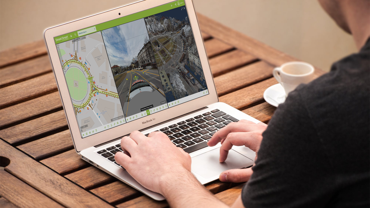
Combining artificial intelligence with high-resolution panoramic images, point clouds and LiDAR data enables the automatic detection of assets within cities. It allows you to create a digital twin of your city so you can understand how to redirect stormwater, identify the best areas for green spaces and manage vegetation within a city.
Insights like this can help you make your city more sustainable and resilient in any potential scenario. Learn more
Use Street Smart to visualise your city and implement changes
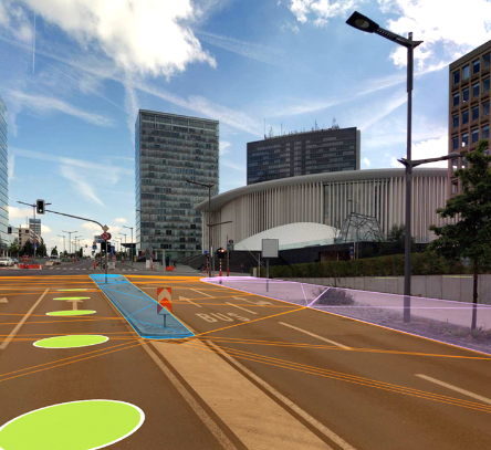
Street Smart is an interactive web viewer where you can access all Cyclomedia’s content: cycloramas, aerial imagery and point clouds. Its user-friendly interface enables fast and easy access to all the data you may need. This includes recent, as well as historic data. Among the many useful functions, it comes with several data layers and our “Measure Smart” feature. This makes measuring areas without the need for site visits both fast and easy.
Street Smart can be used “stand-alone” or within the framework of other existing GIS systems, by using our Street-Smart API. Learn more

