
Pole Management
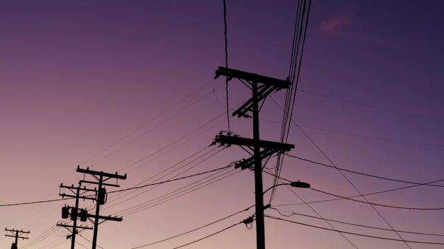
Get ahead of pole management risks. Extend the value of your assets.
With Cyclomedia, utilities companies and telcos get better visibility and improve performance of their networks and associated hardware. Our street-level visualization and data-capture solution improves the ability to manage the predictability, revenue, and lifespan of critical assets.
- Assess, monitor, and track the state and number of your poles in your inventory
- Maintain an accurate dataset of potential network risks
- Build stronger relationships with regulators and public utilities commissions regulatory agencies
- Streamline maintenance operations by better understanding priorities
Resolve problems before they turn into threats. Improve situational awareness. Be prepared for a fast-changing world.
Track and verify cable and telecom attachments with ease.
The process starts when we deploy our vehicles, equipped with patented street-level imagery camera and LiDAR sensor, to capture full 360° spherical high-resolution and geometrically accurate panoramic images.
A single project with Cyclomedia can help you:
- Establish a clear line of sight into your network hardware.
- Identify risks and compliance issues proactively.
- Improve relationships with regulators.
- Better evaluate network health to prevent overload issues.
- Prepare for extreme weather and conduct necessary pole hardening processes.
- Quantify missed or upside revenue opportunities.

Tracking and verifying joint-use attachments is an operational challenge
What products will help you with more efficient and most pole management?
Most popular products
Pole Identification and Inspection
The interactive webviewer for all Cyclomedia data
A 360° high res panoramic view at street level
Let's connect!
Good to know


