Street Ortho

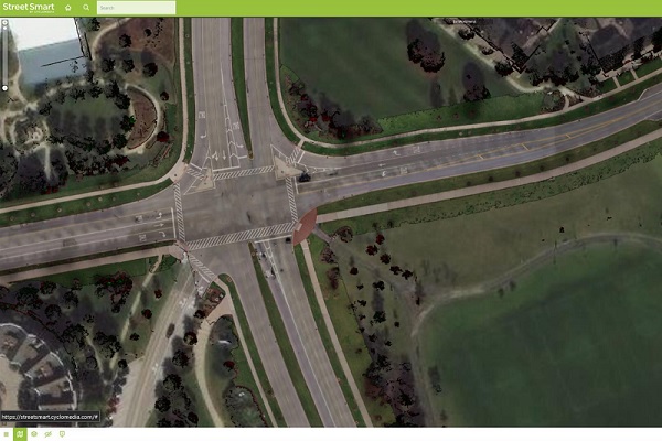
A high detailed true ortho photo of the road and its direct surroundings, without any obstruction from trees, bridges, overpasses or moving objects. Street Ortho gets generated out of our LiDAR Point Clouds and Cycloramas, both synchronically collected by our mobile mapping system. By combining them, we create a true ortho photo from the ground up.
CycloMedia’s Street Ortho quickly translates reality into a digital visualization. Whether your goal is analyzing the road network, mapping out entire areas or updating map data of smaller areas within, Street Ortho enables performing the task with high precision.
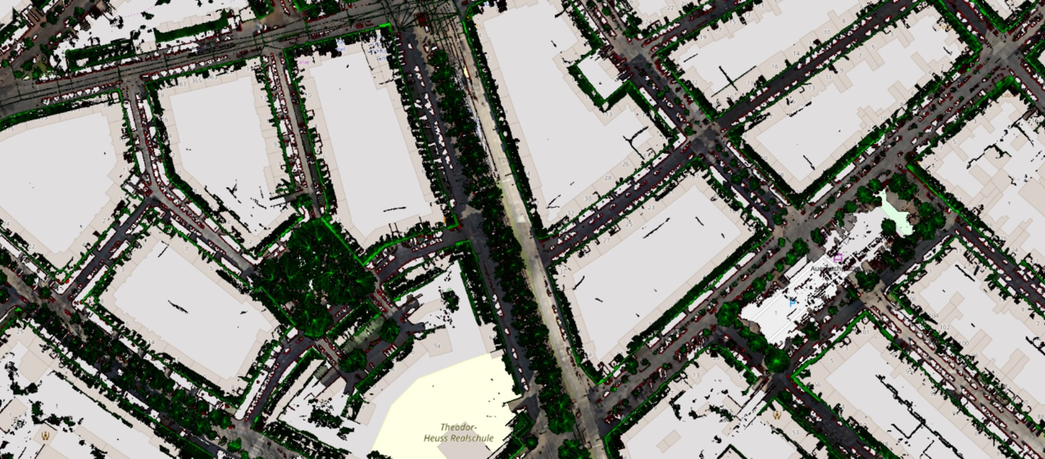
In addition to individual base layers, value is added by showing two height layers as a static point cloud. Toggle them off for clear visibility of the ground surface and roads, or toggle them on to view building facade outlines and other objects along the road network in public space.
Object detection
With a pixel size of 2cm, the detail of the ortho photos is high enough to clearly identify objects, even in shaded areas. You can adjust brightness and contrast yourself too.
By splitting up the point cloud as height layers, the height of objects is also separately displayed. This enables you, for example, to identify the real facade outline besides to only using the roof outlines based on aerial imagery.
