Use cases | 20 October 2020
Testimonial: Water Board Drents Overijsselse Delta
Doing more with fewer people
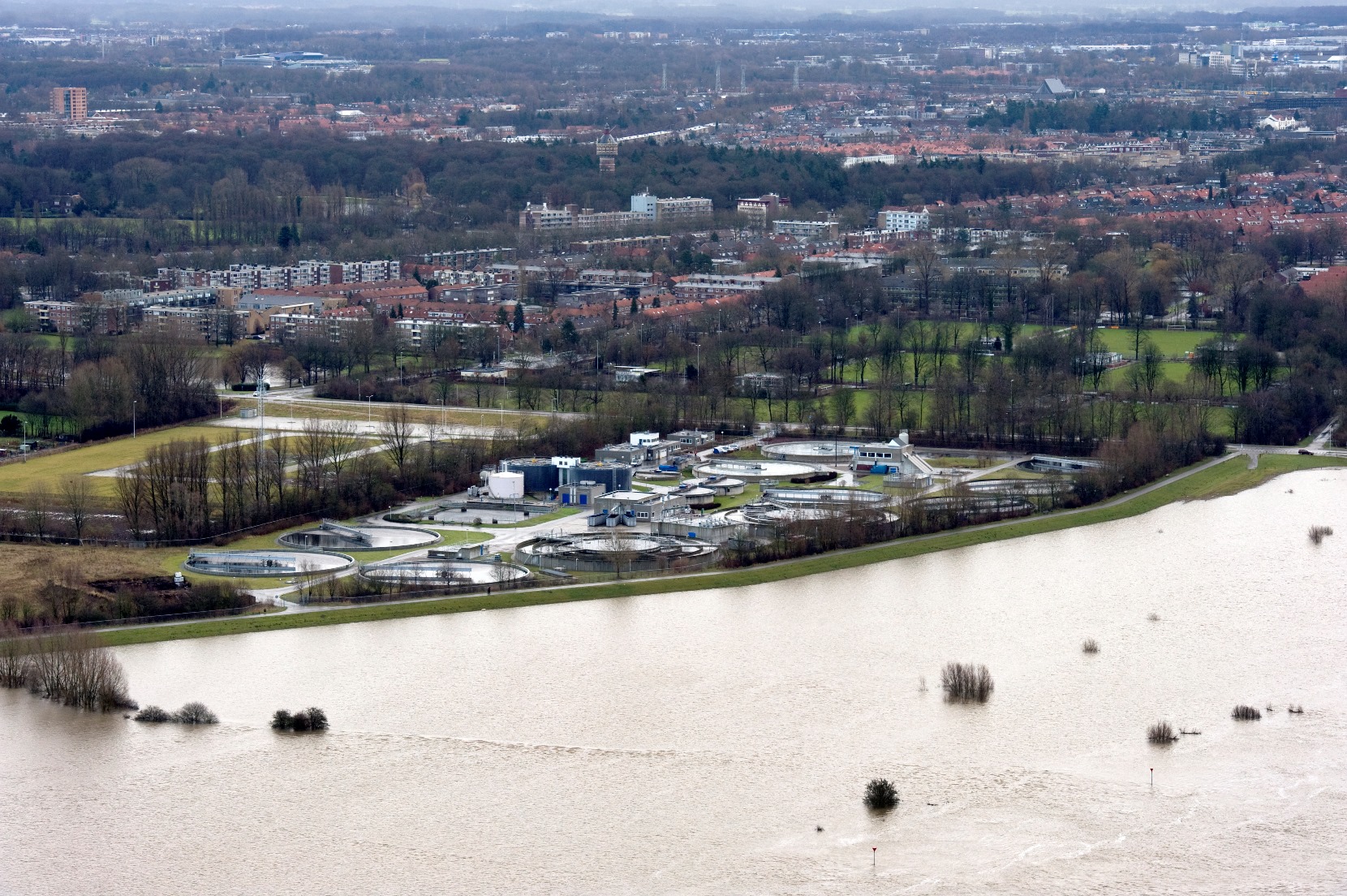
Water boards are facing a major challenge. In the densely populated Netherlands, quality of life and future viability is becoming increasingly important, while the environment becomes ever more dynamic. On the one hand, this is due to climate change and an increasing pressure on the environment, and on the other, the growing population makes it more and more important to optimally design and maintain the outdoor space.
At the same time, the prognosis is that within fifteen years, more than 50% of the current staff of water boards (and other authorities) will disappear as a direct consequence of population ageing. Moreover, this effect is reinforced in shrinking rural regions because new talent is scarcer there. Therefore, the major challenge for many authorities is: how do we do more and more with fewer and fewer people?
New Strategy
This challenge demands a new strategy. Jeroen Waanders, Innovation Advisor at Water Board Drents Overijsselse Delta, speaks of the necessity for a transition to an ‘event-driven’ organization: “The demographic development and climate challenges together create a more dynamic world, which you need to serve with fewer people. So you can no longer focus on everything all at once. We are mainly interested in those places on or in the ground where something is or will be happening. In those places, we can add the most value to prevent incidents and improve the quality of life in our region.”
Predictive management
So in the future, it will no longer be possible to execute all tasks according to scheduled maintenance as we do today. But how do you determine where the priority lies and work towards risk-driven management of – in the case of Water Board Drents Overijsselse Delta – an area of more than 275,000 hectares with roughly 7,000 kilometers of waterways and 1,000 kilometers of dikes and quays?
The key to this lies in predictive management: knowing where in the area the biggest risks are and when you need to do something to avoid problems. For water boards, this means solving complex puzzles to predict an excess or shortage of water, taking into account all sorts of short-term and long-term factors, such as the capacity of storage facilities, urban development (particularly the amount of paving), soil changes and weather predictions.

Overview of the area
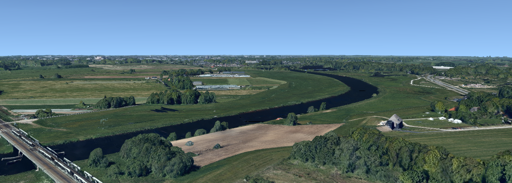
Predictive management requires data. Lots of data. The first step is to know where everything currently is in the area and what its status is. Water Board Drents Overijsselse Delta uses CycloMedia's Aerial Point Cloud and aerial photos for this, among other things. These are collected countrywide and immediately provide an accurate overview of the complete area from above and in 3D, which is then also used to keep the base registrations up to date.
An important advantage over the publicly available Actueel Hoogtebestand Nederland (AHN) is the frequency with which the Aerial Point Cloud and the aerial photos can be collected. Where the AHN is currently collected once every 7 years, Cyclomedia maps the entirety of the Netherlands every year. Another important advantage of multiple data sources that were collected at the same time: the fact that Cyclomedia collects the Aerial Point Cloud and the aerial photo simultaneously results in a unique dataset for capturing the environment, because the time factor does not play a role there (when combining multiple data sources that were recorded at different times, something has almost always changed in the meantime). This allows for updating base registrations much better, for instance.
Visible dynamics of the outdoor area
The second necessary step on the path to predictive management is to construct a time series, so that trends and dynamics of the outdoor area become visible. Thanks to the frequent collection of the Aerial Point Cloud in combination with the aerial photo, building a time series becomes feasible, as it can easily take 20 data points to perform a reliable trend analysis. An analysis with a time series based on the AHN would currently take an estimated 80 years.

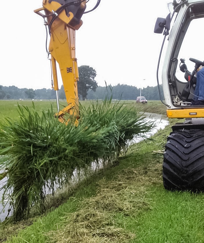
Water Board Drents Overijsselse Delta also takes care of frequent collection of other data itself, which makes it possible to make the third step in predictive management: combining data. Jeroen Waanders provides calculating the storage capacity of an area as an example: “To avoid water nuisance, we store water, but the storage capacity of an area slowly deteriorates over time due to vegetation and soil changes. We therefore equip mowers with extra devices to measure cross profiles during mowing. We then combine that data with CycloMedia's Aerial Point Cloud (to detect gullys, for example) to ultimately calculate the storage capacity of the area. If we then combine this with meteorological data, we can predict when a situation will become unacceptable and when maintenance or adjustments are needed.”
Other examples in which Cyclomedia's data are used are for the timely detection of damage in dikes or waterways, or as input for questions surrounding climate adaptation and flood models. Here, the combination of aerial photos and the Aerial Point Cloud comes in handy, since on an aerial photo alone, for example, it is not always easy to distinguish between paving and a roof. The Aerial Point Cloud adds the third dimension, which makes such differences immediately visible. This information is then important for determining the storage capacity in urban areas.
The absolute accuracy and point density (resolution) of CycloMedia's data is more than sufficient for the usage applications of Water Board Drents Overijsselse Delta. Jeroen Waanders emphasizes that most added value is found in the combination of the Aerial Point Cloud and the aerial photo and the frequency with which this data is collected.
“Thanks to CycloMedia's Aerial Point Cloud, we get a much better picture of the dynamics in the area. If we then combine that high-frequency data with all sorts of other data sources, we enable predictions to be made about where, for instance, a clustered shower will cause issues. This allows us to increasingly focus on the areas where our efforts are needed most. This way, we are working step by step toward a future-proof, event-driven organization.”

