Urban Road Safety Index 2022
How safe do 3900 Europeans from different cities feel in traffic, and what can governments do about it?
Download full report More on road safetyValuable data extracted from advanced imagery
Enormous amount of rich visual data quickly and easily accessible
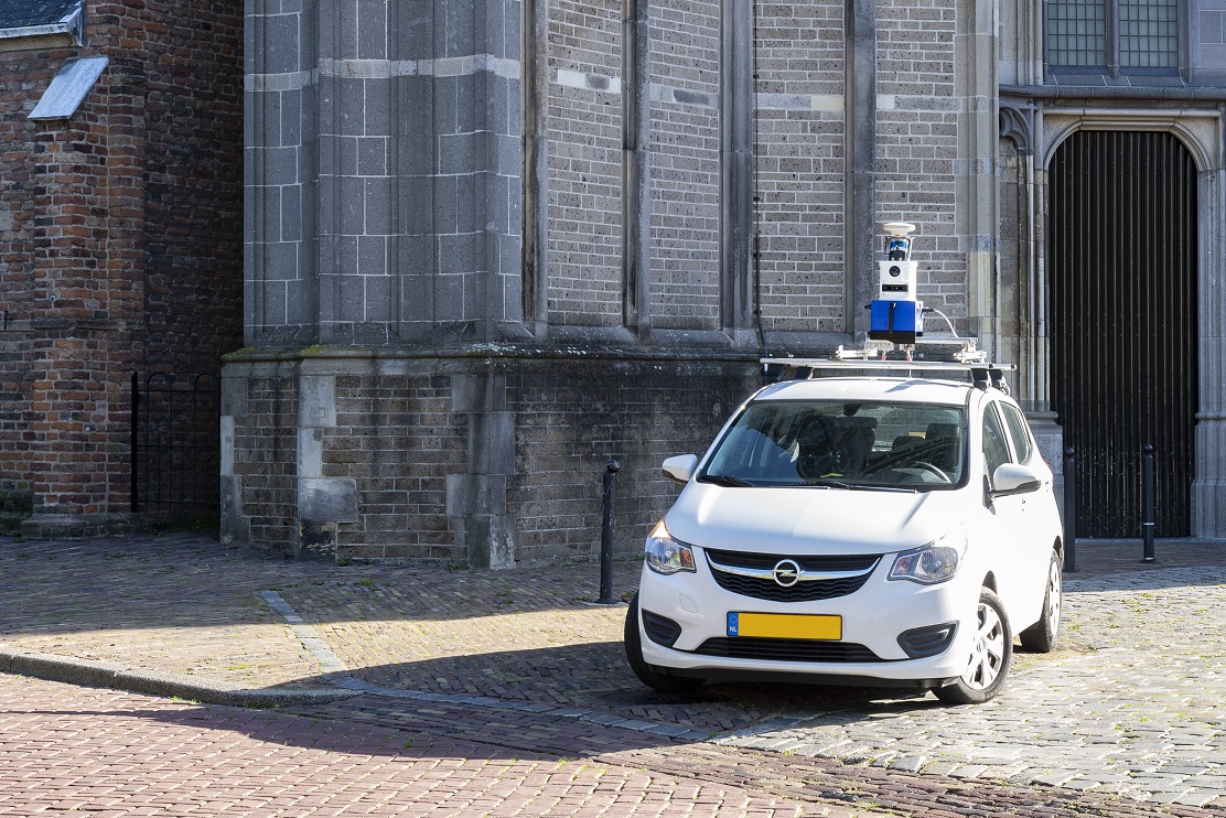
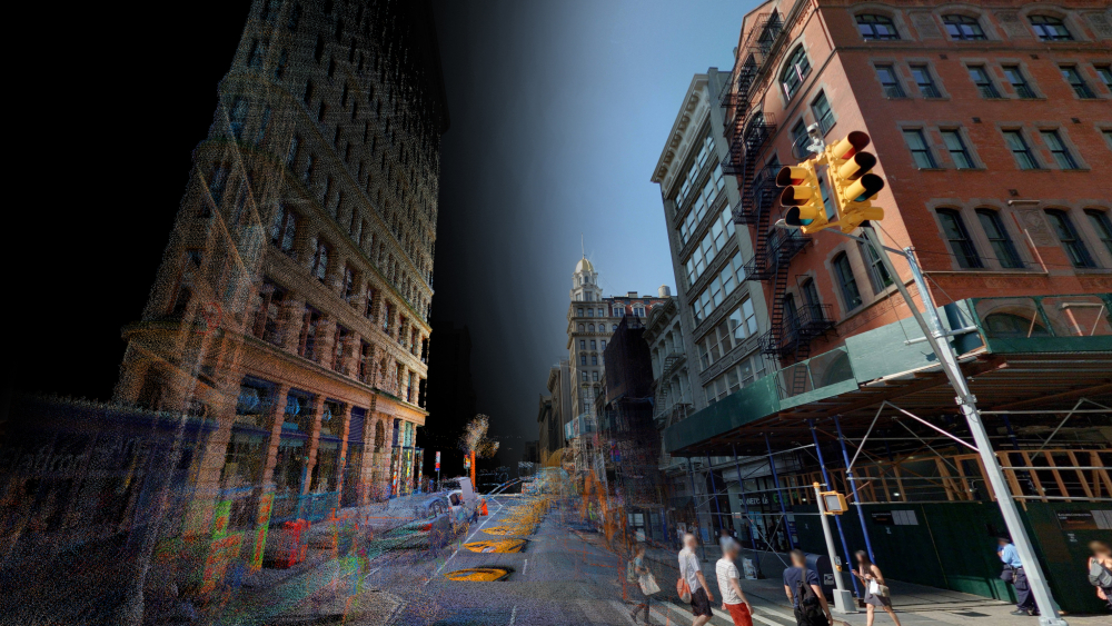
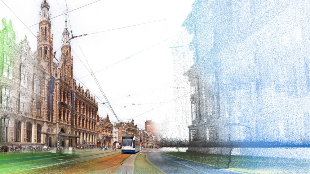
Cyclomedia’s imagery data and LiDAR point clouds are accessible through our Street Smart HTML web viewer, along with integrations into Esri’s ArcGIS platform. Our Street Smart API allows the GeoCyclorama imagery, point clouds, and software functions to be integrated into other systems and applications across your organization.
Explore data insights to create a better world tomorrow
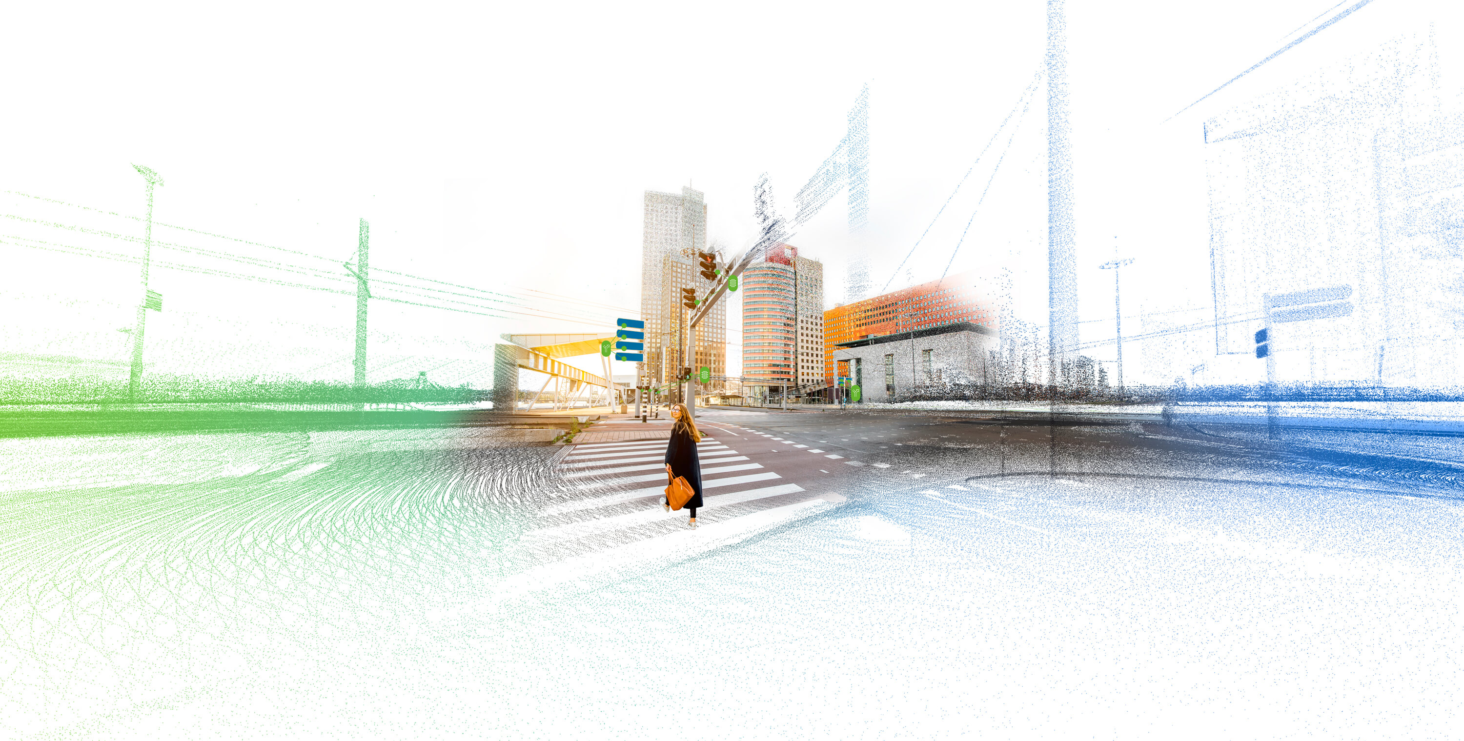
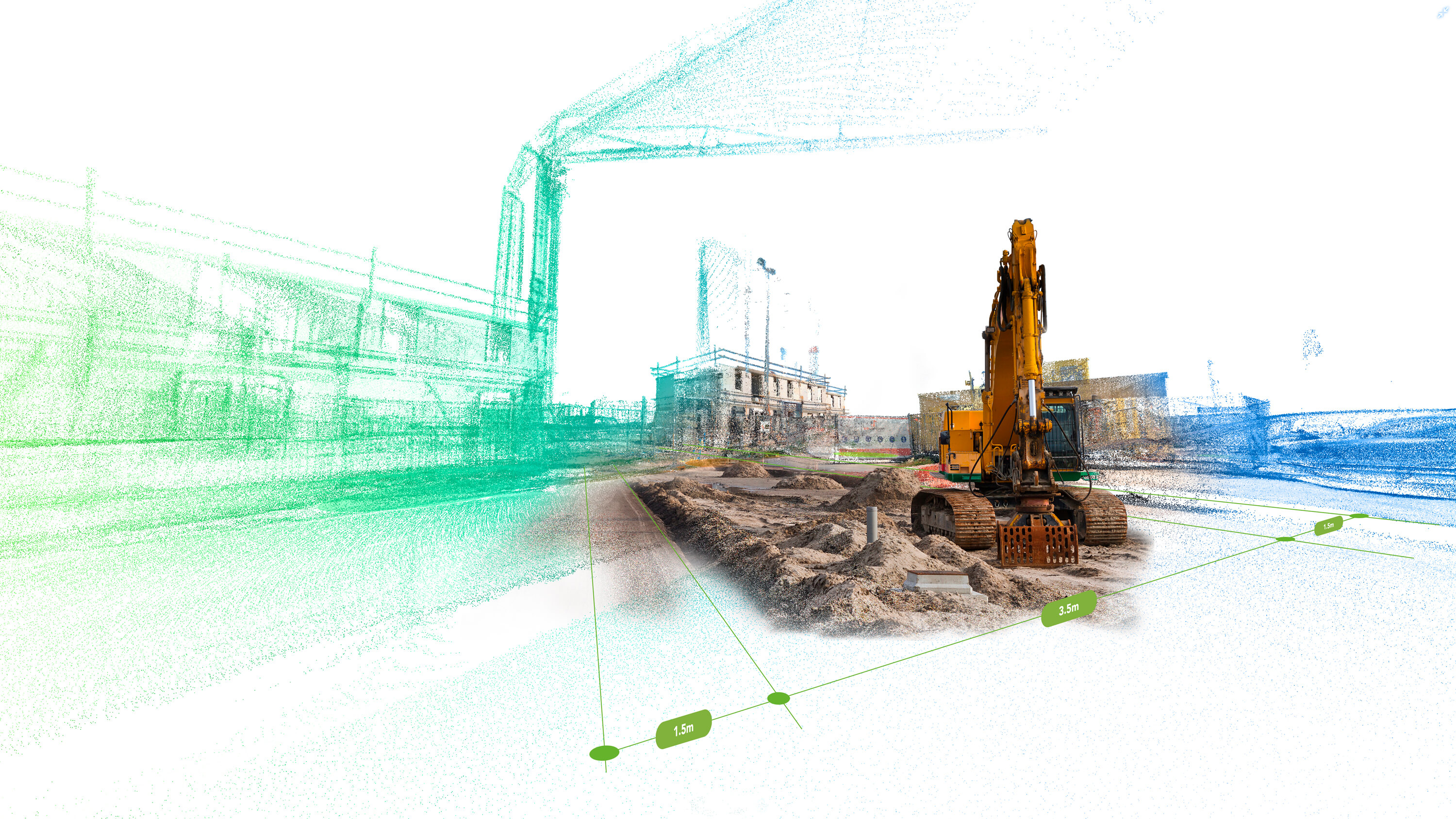
By using Artificial Intelligence, assets can be automatically detected in images and point clouds. Through automated extraction you can quickly and cost-effectively build up a valuable database with the data of all assets in your city, such as street lights, traffic signs, trees, manhole covers, and billboards. Insights that enable you to create a better world tomorrow.
Solutions for every business
- Cities & Government
- Public order and safety
- Utility
- Infrastructure
- Transportation
- Finance/Insurance
- Engineering
- Real estate
- Telecommunication
Cities & Government
Public order and safety
Utility
Infrastructure
Transportation
Finance/Insurance
Engineering
Real estate
Telecommunication
News and resources
Get started for free
Try for yourself! Get two weeks free access to Street Smart.
Request a free demo