Blog | 21 June 2021
Idaho Transportation Department: Statewide Asset Inventory
Looking for a more efficient process of capturing its statewide asset inventory, while also improving the quality of its current imagery, Idaho Transportation Department (ITD) entered into a competitive procurement for selecting its vendor. ITD desired a more automated and modernized asset inventory method that would result in higher quality datasets for its District Office users, and that would better facilitate its asset management practices. Additionally, ITD wished to improve the visualization and analysis capabilities of its road network for all ITD users. This required moving away from its existing static, low resolution imagery that provided no geometric precision. With a dozen firms submitting bids, ITD selected Cyclomedia for their project.

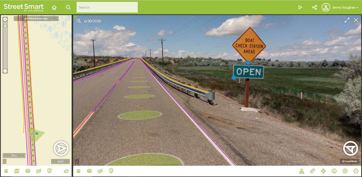
ITD’s project, titled “Statewide Asset Attribute Inventory,” included detailed attribution extraction of 26 unique asset types. These include linear, point, and volume-based asset types. Many different asset types were included in our project with ITD, including: all roadway signs and supports, guardrails, ADA ramps, bridge vertical clearances, shoulders, rumble strips, pavement markings, specialty markings, travel lanes, lanes count, and more. Extracted asset data is synchronized to ITD’s Esri Roads & Highways linear referencing system (LRS) and projected in ITD’s required coordinate system.
“ITD was astounded at how quickly our project came together. Vehicle-based collection started the last day of June 2020 and our entire state highway system was driven in under three weeks! Processed roadway imagery and LiDAR depth surface rapidly started appearing in Street Smart.”
- Nikolaus Sterbentz, ITD Project Manager

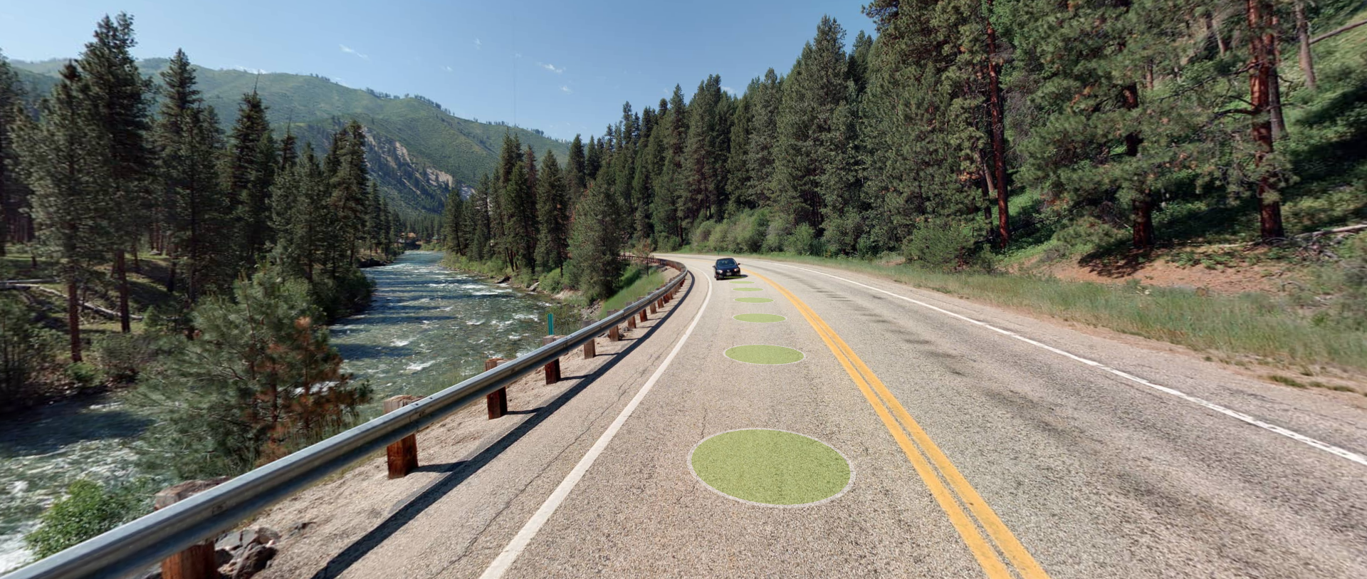
In addition to the asset inventory data, ITD’s project included the collection of 360°x180°, 100 mega-pixel, GeoCyclorama imagery for all state-maintained roads and ramps. Furthermore, ITD required a web-based image viewer and analysis tool equipped with measuring tools for ITD users. Our Street Smart application provided the above functionality and allows ITD users to overlay extracted data or data from external sources on the GeoCyclorama imagery.