Smart cities | 13 January 2020
Level up as a green city – adapting to climate change
How to adapt to climate change
Making your city a greener one is a good idea because it helps mitigate the effects of climate change. But the reality of the situation is that climate change will affect your city. Anticipating what those effects will be can help mitigate the damage. Using street level imagery can help you prepare. In this article, we illustrate how.
Making a difference starts with knowledge. With the right insights, you can actually get to work on all kinds of environmental issues. Street level imagery can help you easily collect all the detailed data you need to make decisions and plans: cutting down CO2 emissions, traffic management, finding energy inefficiencies or literally creating more ‘green’ in the city.
We’ve already presented 7 different approaches to reach your city’s climate goals. In this article, we’ll be exploring the finer details of 3 of those approaches: spatial planning, water management, and heat stress management.
Explore spatial planning
To reach climate goals, a city needs all its citizens to cooperate. But they can’t live more sustainably if the facilities to do so aren’t there. Nowadays, urban planning can’t be done without considering the balance between a city’s vegetation and its need for bike path expansion. Plans for the future have to start with an investigation: where can you create bike paths, walking trails, charging stations, and so on? How can you meet your citizens’ needs when it comes to sustainable living? Taking aesthetics and practical usage into account as well, of course. Having a digital twin of your city at your disposal can save you and your colleagues many hours outside. Being able to remotely, online, view and assess a situation will reduce the number of required outside visits for spatial planning significantly.

Work on your water management
Unfortunately we have to buckle up for more extreme weather in the near future. So, what to do in case of rising sea levels or extraordinary amounts of rain? In Arizona for example, where the weather can be very extreme, street level imagery is used to analyze all flood control assets in the city. This is essential to manage sudden weather changes.
Do you know how much rainfall your city can handle before wells overflow? And which areas have to be evacuated first when a flood hits the town? An actual digital ‘flood slider’, containing data about your city’s water capacity, might come in useful. And insights into impervious surface areas and water flow could help anticipate the potential impact of heavy rain or flooding.
Examine your heat stress management
Due to global warming, temperatures are rising. On a global scale of course, but individual cities can really heat up from time to time as well. Did heat waves occur more often in your town in the last few years? The predictions are that this is becoming more and more common. Drought is the main consequence, but your citizens’ health is also at stake.
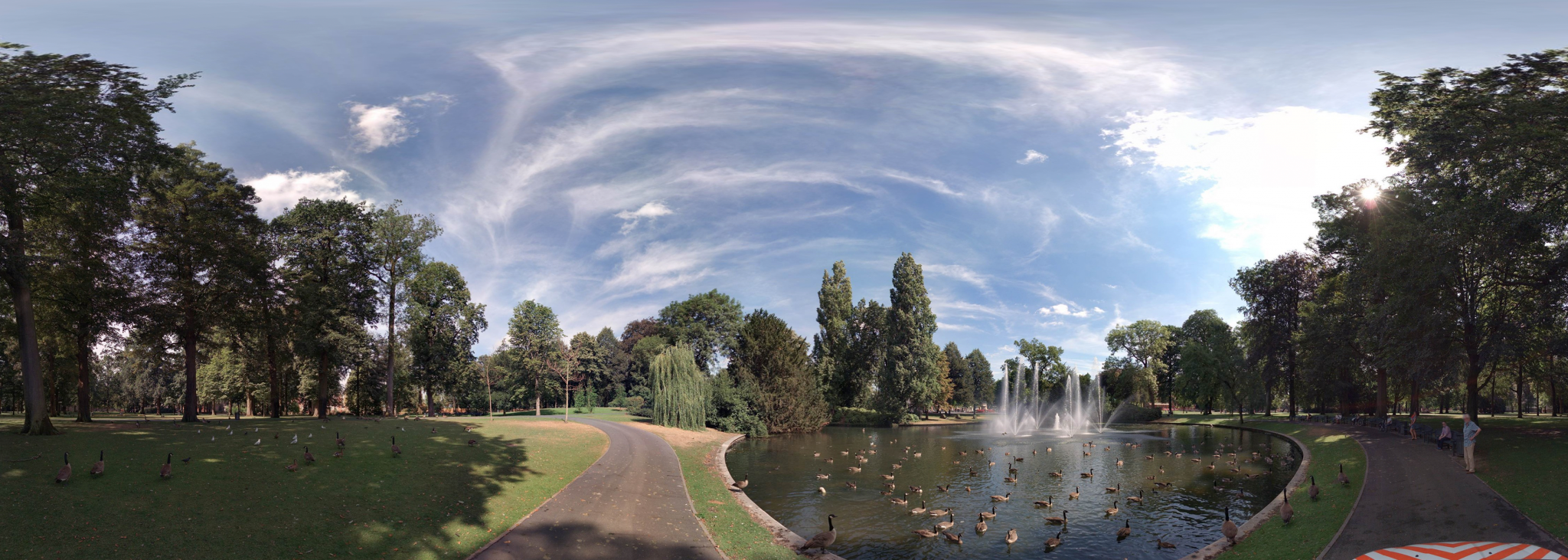
Installing fountains and green spaces, making rooftops and facades greener, applying temporary shading: all of these could have a positive effect on a city’s air temperature. Other methods include: creating space for the wind to blow, designing smart new spots with open water, and paving certain areas. Street level imagery makes it possible to take stock of the city’s current ‘coolers’, but also helps you look for places where you can take measurements and make calculations in order to prevent problems.