Property Appraisal
Is your property appraisal office prepared to keep up with the demands of new construction, permits, and mandated inspection cycles?
The future of Assessment is digital.
Cyclomedia has successfully delivered our enterprise solutions to cities and counties in over half of major US metropolitan areas. We deliver 7X more images per parcel than other street-level imagery providers in the USA. Every year, we update 250K miles of street-level imagery and analytics around the world. Can we help your jurisdiction next?
Cyclomedia provides property appraisal professionals with the tools needed to complete their work from the office behind a desktop, enabling them to become more agile and adaptable in their practices. These cutting-edge digital solutions save property appraisal professionals time and money.
How do we do it? Cyclomedia’s vehicles are specially equipped with HD camera systems and LiDAR sensors that capture imagery and data within a jurisdiction, which is then transformed into actionable insights that integrate with your existing technology infrastructure.

Solutions for Property Appraisal
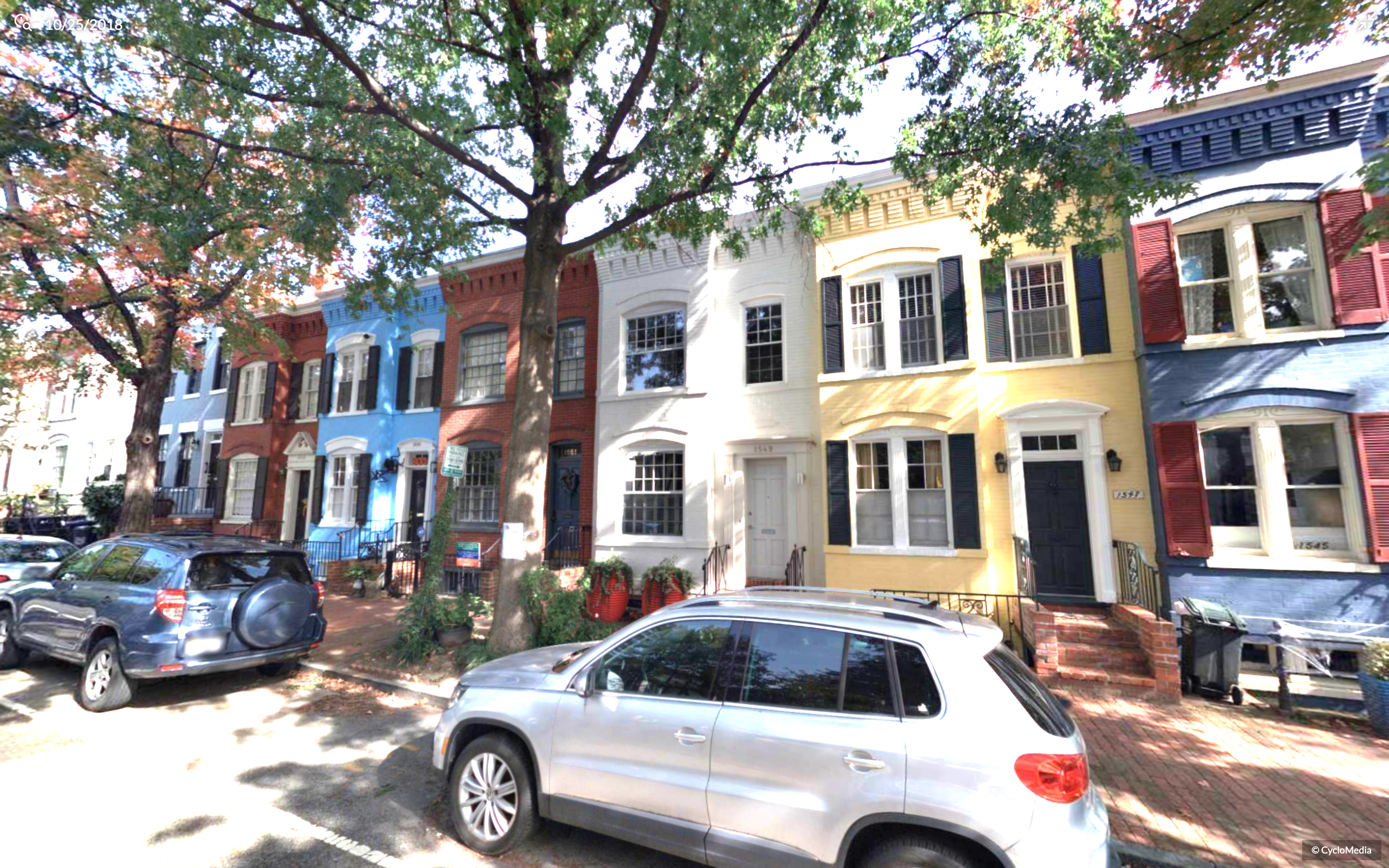
Cyclomedia is an industry leader in high resolution 360° street-level imagery and exceeds the IAAO standard for Mass Appraisal requirements. A series of panoramic images are captured by Cyclomedia, enabling assessment professionals to see the property from multiple angles, view the surrounding area, verify grade and condition, and measure structures with sub-inch accuracy- right from their desktop. Geometrically correct, positionally accurate street-level imagery can build efficiency and increase staff safety, extending even beyond the assessor’s office to be an organization-wide resource. Watch this video to learn more!
Imagery meets and exceeds the IAAO MARP Standard (3.3.5)

Street Smart, Cyclomedia’s SaaS cloud-based viewer, makes it possible to improve assessment accuracy by viewing selected properties throughout your jurisdiction from multiple angles—directly from your desktop. This industry-leading technology equips property appraisers with the resources they need to work more efficiently, and digitally.
Appraisal professionals also have the option to embed Cyclomedia’s data directly into your CAMA to perform desktop reviews. Our HD Imagery allows you to determine grade and condition while eliminating costly and time-consuming field inspections, complying with IAAO's recommendation for remote work. Additionally, our imagery can also be utilized for Tax Appeal and Board of Adjustment hearings to provide a better visual understanding of the subject property and neighborhood influences.
Traditional Cut-outs

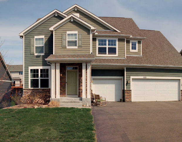
Our analytics team can use our GeoCyclorama imagery via Street Smart to align property images and assign attributes to each valid tax object present in the customer GDB. Once saved, the image parameters are used to generate high-resolution cutout images and an accompanying CSV which describes the point the image was taken from, the central point of the tax object, and the attributes applicable to the image.
In addition, Street Smart allows you to download and create as many views of a property as possible with two clicks of a mouse. This is especially useful for complex or commercial properties. Don't rely on manual inspections- digitize your assessments!
Across the state there are approximately 100 counties. I can say with 100% confidence that adding Cyclomedia technology to our portfolio of assessment tools has enabled us to be at par, or even exceed, the productivity of similar sized counties with field personnel up to 20% larger.
- Keith Miller, Tax Assessor, Buncombe County
What products will lift property appraisal to the next level?
Most popular products
Solution around property condition
The interactive webviewer for all Cyclomedia data
360° virtual models of any location
