Smart cities | 08 januari 2020
Level up as a green city – becoming greener
How to become a greener city
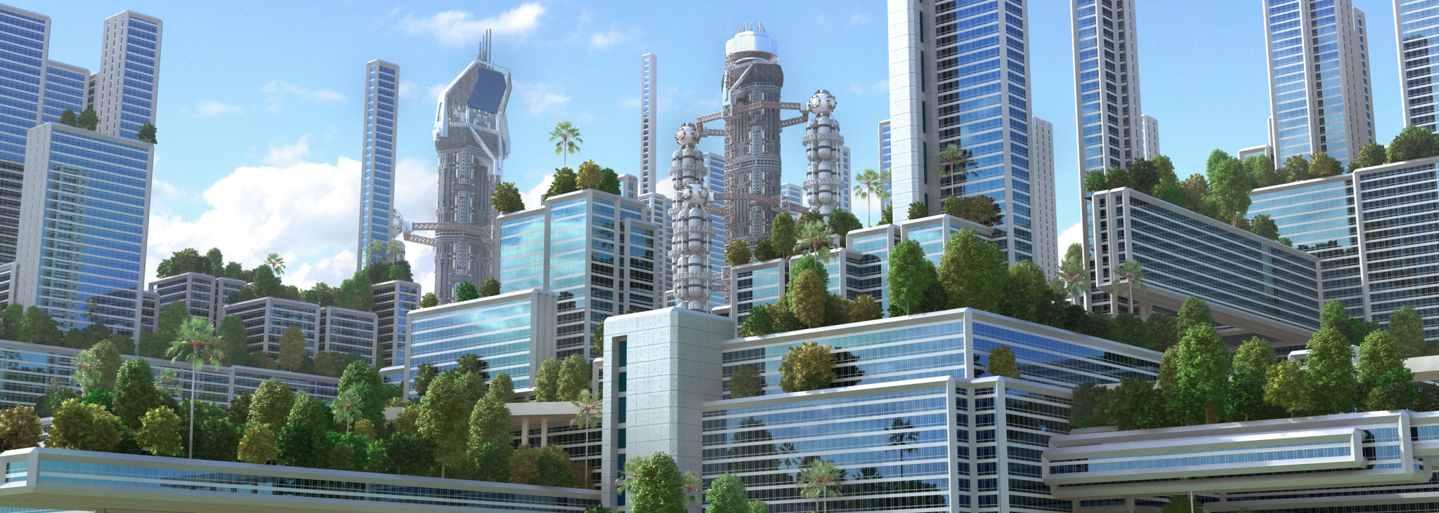
Becoming a green city is both a literal and metaphorical goal. Planting more trees in your city isn’t the entire solution, but it’s a good start. In this article, we’re highlighting a few more ways to make your city greener, healthier, and more sustainable. Street level imagery offers a world of opportunity. We’ve previously given you 7 ideas to achieve your city’s climate goals. In this article, we’ll be taking a closer look at 4 of those ideas: green spaces, tree management, green building solutions, and cutting down on field trips.

Develop green spaces
It is essential that a city’s parks and recreation areas are well-maintained. A detailed view of green areas is helpful to plan greenery work and prevent dangerous situations with overhead wires, for example. But to reach CO2 reduction goals, to become carbon neutral, or to manage heavy rain and even heat waves, it might actually be more important to create more green zones.
Of course, you can’t achieve this without considering building and infrastructure requirements, taking into account structures, transportation patterns and utilities. Street level imagery provides a visual inventory of existing parks and detailed views of possible new green areas to determine if those are suitable for vegetation.
Manage your tree population efficiently
Visualization can help you prioritize and plan greenery work. The same image inventory can be utilized to identify tree hazards and carry out field inspections. All of this can be done with a great amount of detail.
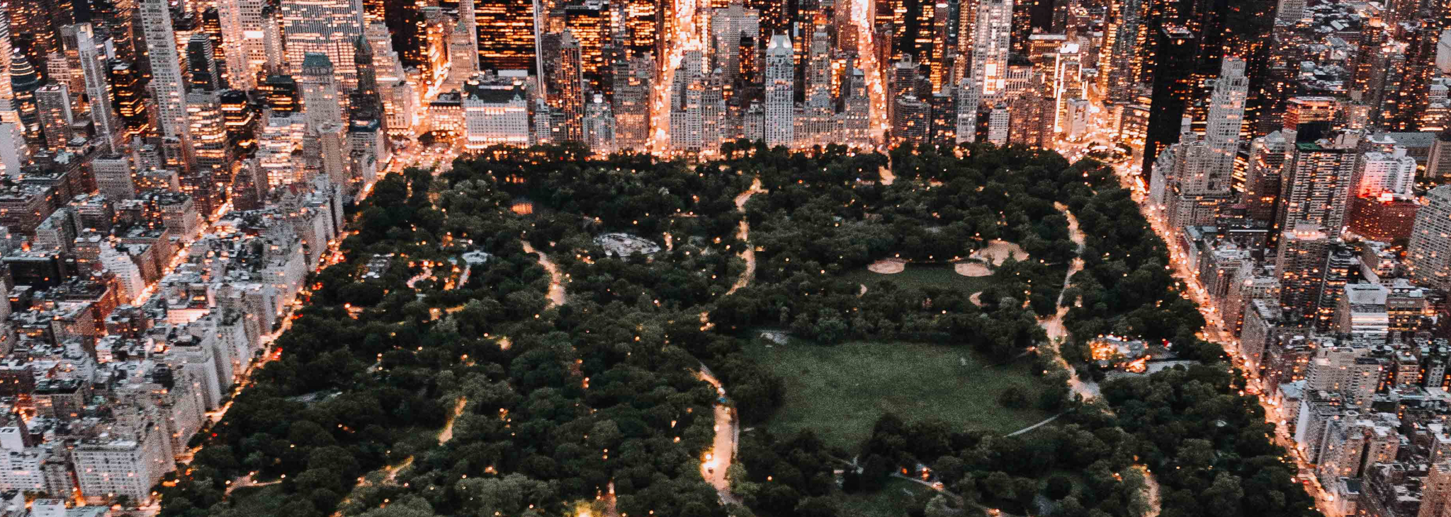
For example: the city of New York created an actual tree database by mapping 694.674 trees. They know the exact location, species and health status of every tree in the city. And on top of this, NYC calculated the environmental benefits of their tree population: every year they absorb 612,100 tons of carbon dioxide and 635 tons of air pollutants, and they conserve 667.590.884 kWh of energy. This all adds up to a total financial value of $109,842,256.23 per year.
Encourage green buildings
A detailed view of buildings can help you identify hazards, defects, as well as construction and roofing materials. This creates the possibility to discover if construction complies with codes, but also enables you to optimize a building’s environmental best practices.
For example: data about buildings and their surroundings could help assess if they are suitable for solar panels or ‘green roofs’. Or for other sustainable upgrades to meet citizens’ requests to create greener buildings and more sustainable living conditions.
Save on field trips
Checking construction permits and parking licenses, taking stock of advertising boards, assessing welfare aspects, verifying zoning plans, identifying all relevant assets in a public space. These investigations usually require a field trip—by car. But did you know that in many cases, these visits to file a report on-site are not required anymore? Thanks to the smart usage of imagery and public space data.
This data not only makes the way of working much easier, but it also leads to a substantial CO2 reduction. In the Netherlands, for example, using street level imagery cuts back 9 million car rides per year. This already saved 9.6 tons of CO2 in The Netherlands alone.
A complex issue like climate change cannot be addressed by one solution alone. Fortunately, with the use of street level imagery and other data, you have many different options available to start reducing CO2 emissions and to make your city a greener, healthier, and more sustainable place to live.
