Blog | 25 May 2021
Case Study: California Utility Vegetation Management
Much of the utility industry is regulated by local, state, and federal regulations. Organizations often struggle to stay up to date with inspecting their assets and any encroaching vegetation. It’s especially important to have this data both prior to and following a hazardous event (pre- and post-remediation).
Problem
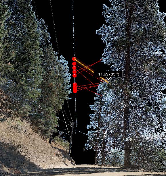
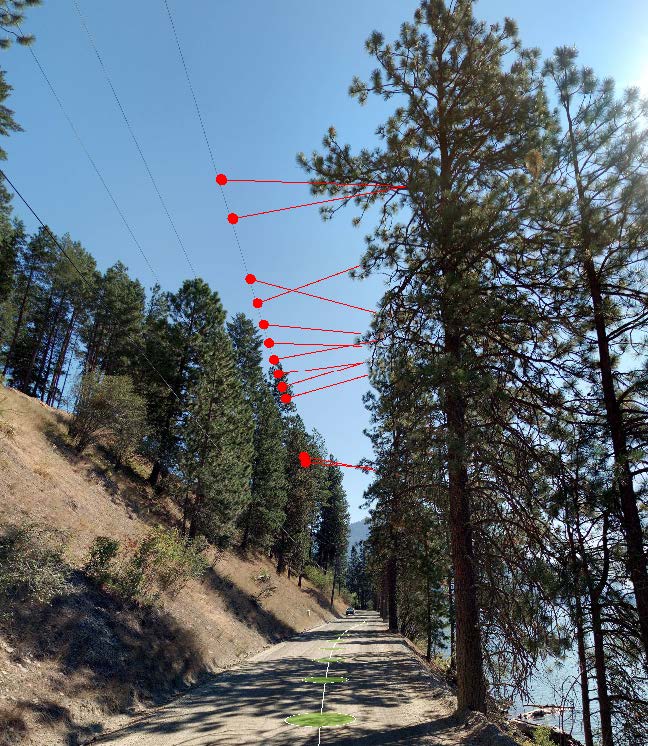
In early 2019, one of Cyclomedia’s clients encountered a similar situation with high-risk fire zones in California. Our client required a quick and efficient method to visualize assets and encroaching vegetation from their desks, a way to QA/QC post-remediation efforts, and a map of geospatial-relative analyses.
Solution

To date, Cyclomedia has been able to collect over 25,000 miles of data with the fastest delivery cycle time in the industry and an average positional accuracy of 10cm. We continue to work with our clients to get the data in their hands in an even shorter timeframe. Cyclomedia’s collection method can save our clients approximately 30-40% of what they would spend on a traditional, boots-on-the-ground inspection.
Solution

Our client has benefited from receiving an accurate and authoritative record, which battles the scrutiny of regulations and legal implications, and can be used in a court of law if necessary. A reusable source-of-truth dataset allows our client to identify additional assets to be extracted at a later date, and to involve additional internal departments, at any time, who can apply delivered data to problems they need to solve with little to no additional work.
Cyclomedia’s solution is proven and scalable. While we have collected and delivered over 25,000 miles to the client, the entire project sprouted from a 100 mile pilot project. Pilot projects are an effective method of introducing new technology and workflows while ensuring these processes will integrate easily within an organization.