Street Smart™
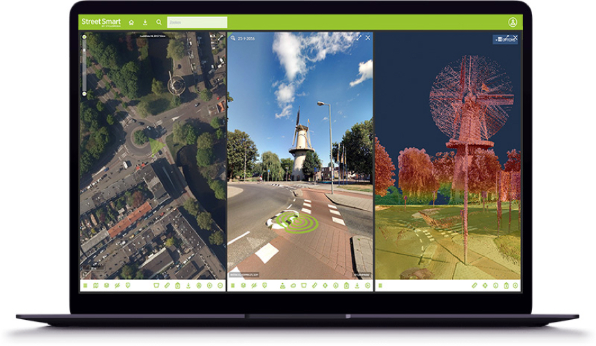
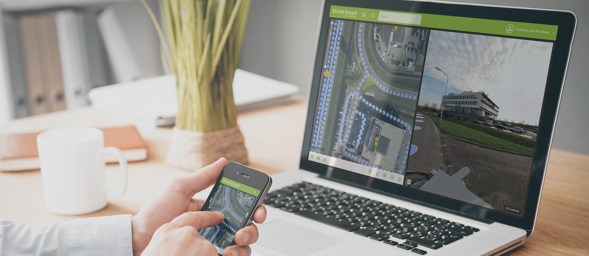
Street Smart is our interactive web viewer for all Cyclomedia content, including GeoCycloramas and LiDAR point clouds.
This user-friendly interface enables fast and easy access to all our data. This includes recent and past data, allowing Cyclomedia and our clients to detect changes and examine developments over the years.
Street Smart does exactly what you want it to do, in the most intuitive way. Multiple window configurations make it easy to view, analyze and use our data. Among many other functions, Street Smart also includes overlay and measurement tools.
Street Smart is built using the latest web technology and runs best on desktops.
Smart measuring
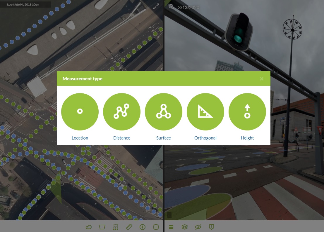
Street Smart's measure function measures points, lines and areas using all the available data. Additional tools are available to measure height or orthogonal information.
Measuring options are mostly based on the LiDAR point cloud and its derived data, but can be carried out based on the image as well. All measurements can be saved and exported.
Overlays
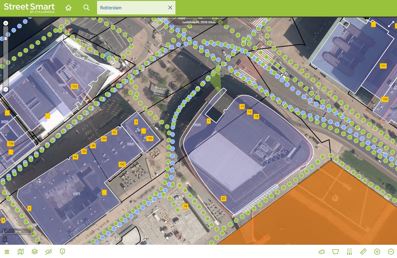
By presenting spatial information as a data layer in Street Smart, you are able to quickly gain insights into (new) spatial relationships. This makes the data layers an essential source of information for making inventories, for inspection work, surveys and spatial analysis. With the right data layers at hand, your workflow will produce better results with less effort.
Overlays can be created on top of the map and/or GeoCyclorama.
Other functions
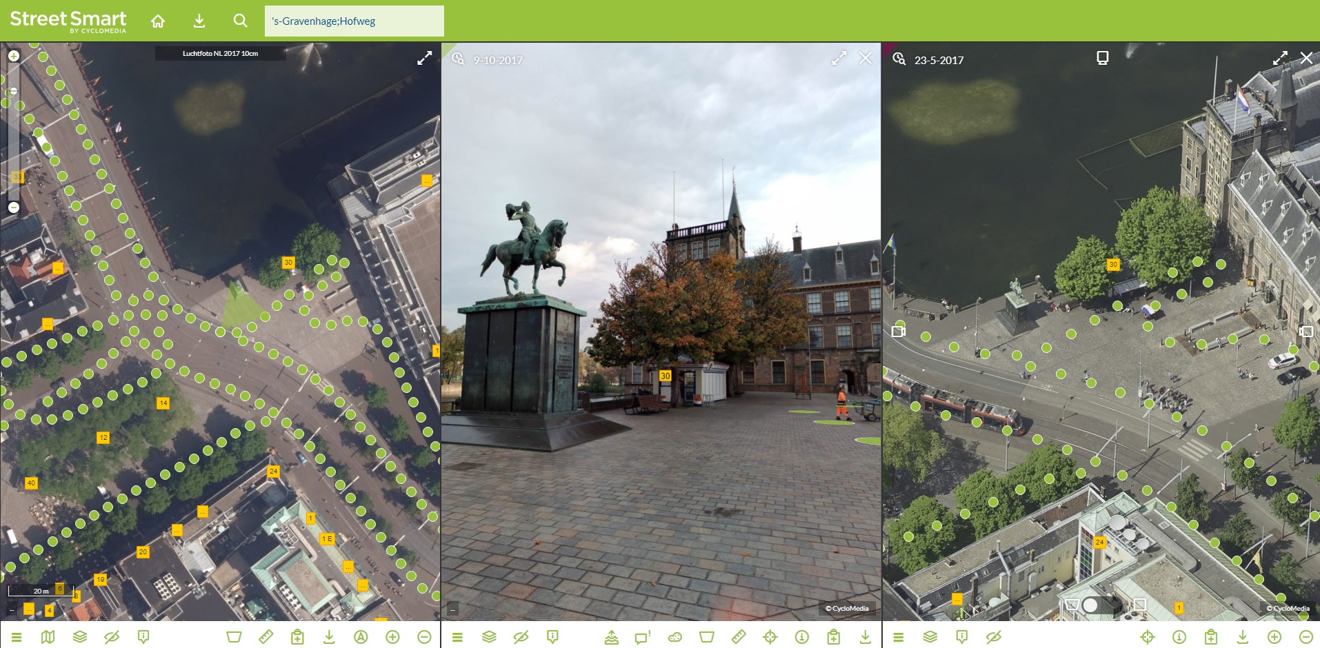
Street Smart offers a playlist function, where users can choose to play multiple locations or routes automatically. Street Smart shows the GeoCyclorama of the requested location. The built-in share function makes it possible to share, create a link, or make a complete report of the images with more information.
Street Smart Integrations
With the Street Smart API, Cyclomedia offers a number of services to integrate our data into other applications, like CAD and GIS software. Results of measurements can be transferred directly and stored by the integration. Data from the integration can be shown on top of the data.
Cyclomedia actively supports developers using the API. Click here for API documentation and code examples.
