-
Products
- Data Capture Recording vehicles, cameras, LiDAR scanners and the capturing process
- Data Visualization Street Smart, GeoCycloramas, LiDAR point clouds and other data
- Data Insights Get valuable insights with our AI based analytics solutions
-
Solutions
- Utility Solutions for electric and gas utilities
- Communications Solutions for communications service providers
- Transportation Solutions for departments of transportation
-
Resources
- News Read the latest news items
- Events See the events that we are attending
- Smart Cities Articles and infographics about Smart Cities
- Blog Read our blog articles
-
Company
- About Us Read about who we are and what we do
- History 30+ years of visualizing the real world
- Careers Working at an innovative company
- Partners Extending our service with partners
- Research & Development Improving products and services through innovation
- Contact Get in contact. We are happy to help you.
-
Support
- Support for Developers API documentation and sample code
- Support for Users Training and service desk information
- Contact Support Get in contact. We are happy to help you.
Schedule a demo

Tax Assessment
Increase tax assessment accuracy with real data
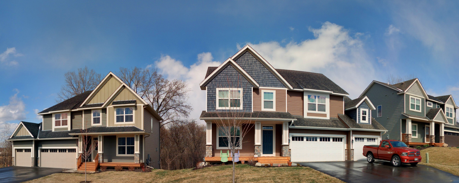
Cyclomedia’s street-level imagery provides your tax assessment office with far more than just a high-resolution picture. We capture a series of panoramic images that allow you to see the property from multiple angles, view the surrounding area, view condition and grade, as well as take measurements of structures.
Cyclomedia tax assessment solution
Benefits:
- 360-degree panoramic images in a regularly-spaced series along streets and alleys to allow views of properties from multiple angles.
- Pixel sizes of a fraction of an inch to provide detailed views of building materials and property condition.
- Tools to capture rectangular photographic cut-out images of areas of interest for use on property cards or other reports.
- Imagery doubles as a community-wide asset, allowing other local government departments to benefit from viewing conditions in the field, collecting data, and taking measurements.