Condition Assessment for Traffic Signs & Pavement Striping
Recognizing the pressures that jurisdictions face to provide a safe and reliable transportation network prompted the creation of Condition of Traffic Signs and Pavement Striping (TS/PS) product by Cyclomedia. Pavement striping currently represents one of the hardest assets to maintain across organizations due to its vast mileage and degradation variances. Similarly, inventorying traffic signs is a lengthy and expensive process highly prone to human error. Having an updated asset inventory is required by the Federal Highway Administration (FHWA), and yet organizations are struggling to keep up with this demand.
So, what can organizations do in order to stay in line with FHWA regulations? Our Traffic Signs and Pavement Striping (TS/PS) solution solves the problems associated with collecting and assessing pavement striping and traffic signs to begin with by providing an accurate and up-to-date inventory of all roadway assets within any jurisdiction and their condition.

Blog: Asset condition collection and analysis
Cyclomedia, the leading roadway asset data provider to state and local agencies, understands the complexities our customers face. Managing public assets is vital to ensuring the safety of our roadways, and in an era where public agencies are challenged to do more with fewer resources and shrinking budgets, it is nearly impossible to have an accurate and up-to date asset inventory. Our 'Condition Assessment for Pavement Striping and Traffic Signs' product eliminates the need for manually inventorying these assets, a lengthy and difficult process.
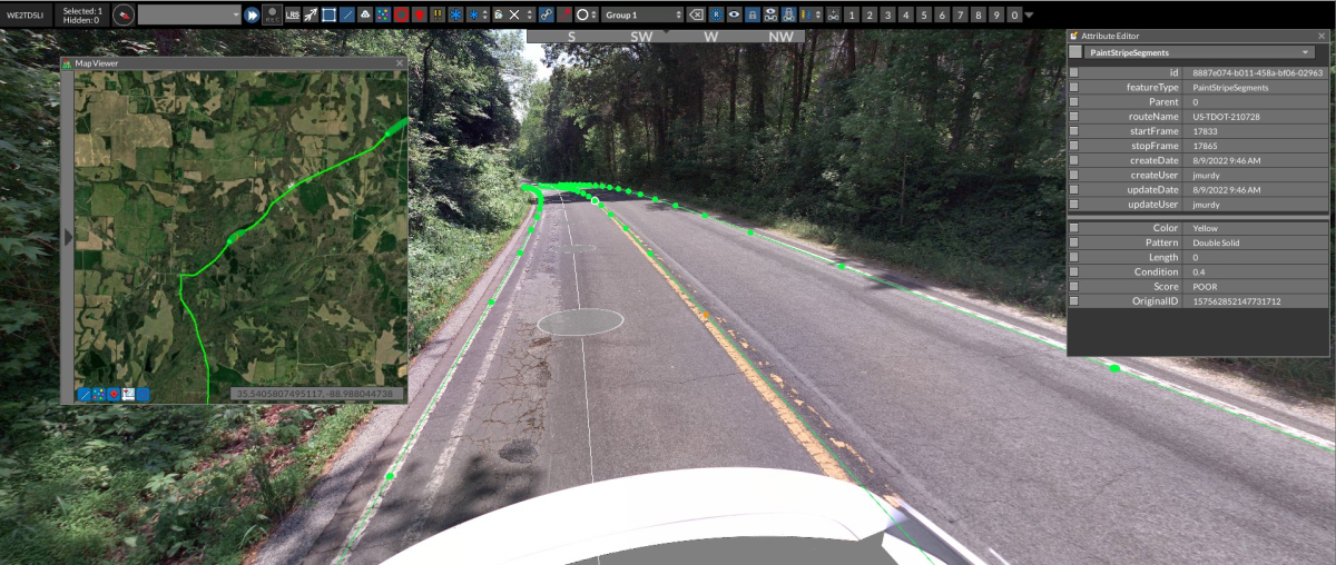
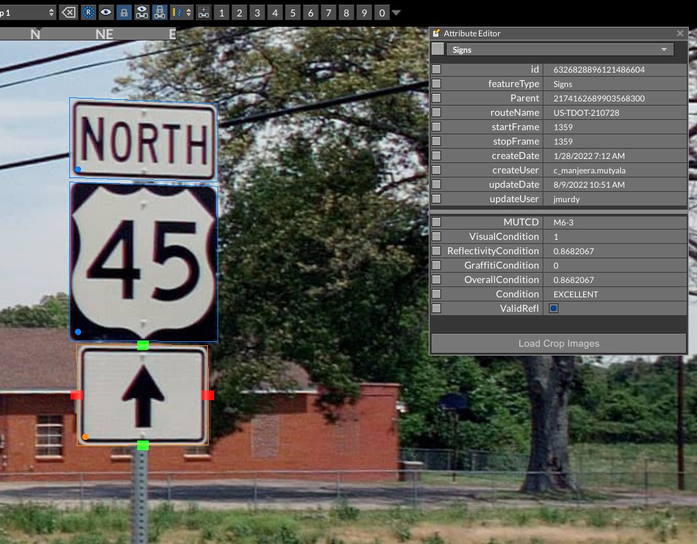
We use a combination of RGB visual scoring based upon a trained machine learning model, as well as normalized intensity data from our LiDAR sensor. This combined scoring system allows us to provide an overall condition score of these assets on a network scale, with an unmatched density compared to traditional manual approaches. This information is delivered as a dataset, making it easy for departments to focus on the maintenance of traffic signs and pavement striping conditions. This vastly reduces the need of sending personnel into the field to manually inspect the condition of these assets across the thousands of miles of their network.
Press release: 'Condition Assessment for Pavement Striping and Traffic Signs' Product Launch

Using this new data product, jurisdictions are able to complete work that typically takes months in only a matter of weeks. Rather than having to manually locate, identify, and assess each asset (a long and costly process that is subject to human error), Cyclomedia will quickly and efficiently gather the necessary information organizations need to make timely and informed decisions. Read our product launch press release to learn more about this solution!
Product Launch Webinar

Cyclomedia hosted a product launch webinar for our Condition Assessment of Pavement Striping and Traffic Signs product!
In case you missed it, watch the recording where we:
- Led 30 mins of product review and demonstration, followed by 15 minutes of Q&A with the participants. The webinar will also be recorded.
- Learned how Cyclomedia delivers an overview of the condition of your signs and a complete network inventory of your pavement striping conditions.
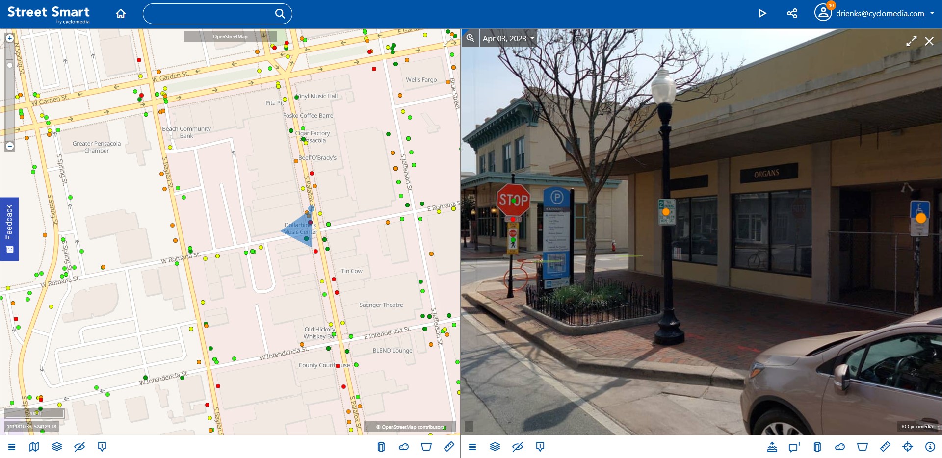
- Saw an example of what an inventory of your network would look like generated from image and LiDAR data.
