Partners
Integrazione
Cyclomedia collabora con diverse organizzazioni e aziende per servire al meglio i nostri clienti e rimanere all'avanguardia negli sviluppi tecnologici. Abbiamo molti partner che hanno incorporato un'integrazione standard dei ciclorami nei loro sistemi GIS e amministrativi. Cyclomedia ha anche diversi partner commerciali che offrono Street Smart come servizio ai loro clienti.
Partner di integrazione

Street Smart API fornisce un'interfaccia di sviluppo completa che può essere utilizzata per integrare i ciclorami in altre applicazioni.
L'API consente ai fornitori di software CAD, GIS e di gestione utilizzati dall'organizzazione di integrarsi perfettamente con Street Smart. Ciò significa che le sovrapposizioni e le misurazioni funzionano direttamente sui dati geografici disponibili in questi pacchetti. Cyclomedia supporta attivamente gli sviluppatori nell'utilizzo della nostra API e fornisce gratuitamente documentazione ed esempi di codice.
GIS Partners
I nostri partner
Esri

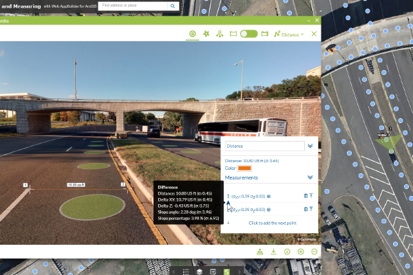
Esri’s ArcGIS solution uses local intelligence to "See What Others Can’t,” providing businesses with a competitive advantage in their marketplace. Cyclomedia is an Esri Gold Partner. Our integration with the Esri platform connects high resolution imagery to existing environments, allowing data to be managed as workflows such as feature classes. This integration empowers businesses with high levels of understanding of their infrastructure, allowing them to make insightful business decisions and directly enhance revenues.
Infraplan

Infraplan Geospatial offers geoinformation consulting, development, technology and production solutions of professional use for governments, industries and infrastructure operators. All our activity is focused on maximizing the potential of our clients' spatial and textual data, for whom we create sustainable data models with accessibility and interoperability criteria. Cyclomedia works closely together with Infraplan in Spain capturing geospatial data in several large projects for Spanish governments.
Microsoft Azure

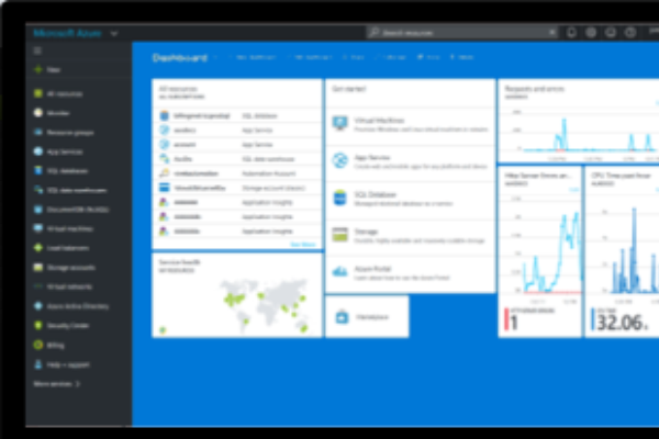
Microsoft Azure, an ever-expanding set of cloud computing services, enables businesses to meet new and future challenges by building, managing, and deploying applications across global networks. Azure supports the high bandwidths required to access Cyclomedia’s imagery and LiDAR data. As a Microsoft Gold Competency Partner, Cyclomedia uses Azure to meet our client’s cloud computing needs. Our organization has demonstrated expertise and proven capability with Microsoft Azure. Cyclomedia was an early adopter of Microsoft Azure and is currently one of the world’s largest Azure users.
Cartegraph

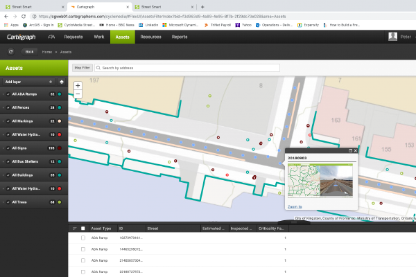
Cartegraph empowers local government to deliver the best possible outcomes with software that captures data, analyzes it and prepares it for future use. When Cartegraph's software is combined with Cyclomedia’s high resolution imagery, LiDAR and feature extraction capabilities, facility inspection and asset inventory becomes quick and easy. Public works and other departments can even perform remote inspections and condition assessments. These abilities deliver a high-performance, cost-effective government infrastructure.


