Documentazione dell’API
Various Application Programming Interfaces (APIs) are available, to realize a smooth link with Cyclomedia imagery.
Introduzione
Leggi il documento di introduzione all'API e scegli l'API di cui hai bisogno.
API di Street Smart
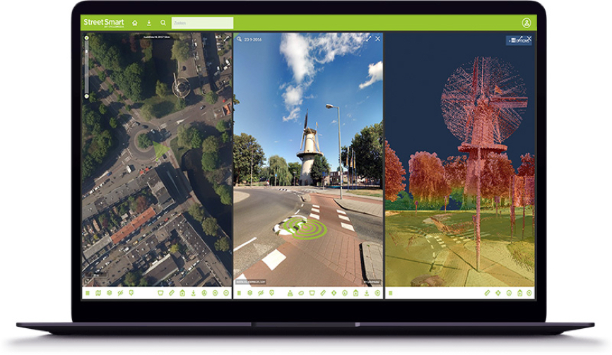
La maggior parte delle funzionalità di Street Smart sono disponibili tramite l’API (l’Application Programming Interface) di Street Smart. In questo modo altre organizzazioni potranno personalizzare le funzionalità e l’interfaccia utente di Street Smart per adattarle nel modo più funzionale possibile ai propri flussi di lavoro. Sarà anche possibile creare applicazioni che integrino perfettamente le funzionalità “Misurazioni” di Street Smart nei pacchetti CAD o GIS o nei programmi di gestione del territorio in uso presso soggetti terzi.
ATLAS API
Atlas API
Il servizio ATLAS Panorama Rendering può essere utilizzato per creare ritagli Cyclorama. Il risultato finale è un file JPG. Questi file possono essere utilizzati nei documenti e sui siti Web. I ritagli possono essere utilizzati anche per la strutturazione di modelli 3D.
SLD layout and Developer Key
Street Smart with SLD supports extensive formatting capabilities when displaying vector layers. More information about formatting options can be found here.
To develop with Cyclomedia software a developer key is required. If you don’t have a key yet you can request one by using our contact form.
ATLAS WFS Recording Service API
ATLAS is the name given to the new database where all the data on cycloramas is stored. The recording service is built on this database. The Web Feature Service (WFS) makes it possible to request recording locations within a certain area and they will be displayed on your map. ATLAS Recording Service is intended primarily for GIS integrations.
Street Ortho Web Services
Street Ortho images can be shown in viewers from Cyclomedia. Another possibility is to show them in your own (GIS) application using the Street Ortho Web Services.

