Documentation API
Afin de réaliser un lien fluide avec l'imagerie de Cyclomedia, diverses interfaces de programmation d'application (APIs) sont disponibles.
Street Smart API
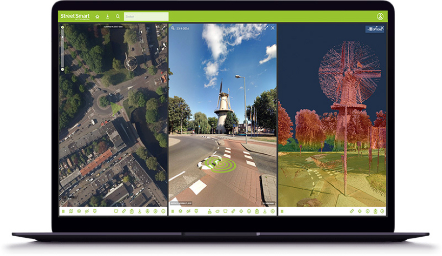
La plupart des fonctionnalités de Street Smart sont disponibles par le biais de l'interface de programmation d'application (API) Street Smart. Cela garantit les organisations de personnaliser les fonctionnalités et l'interface utilisateur de Street Smart pour qu'elles correspondent mieux à leurs flux de travail. Vous pouvez également élaborer des applications qui intègrent directement de manière fluide la fonctionnalité « Measurement » (Mesure) de Street Smart directement dans des logiciels CAD, SIG et de gestion foncière.
ATLAS API
Atlas Panoramarendering Service API
The ATLAS Panorama Rendering Service can be used to create Cyclorama cutouts. The end result is JPG files. These files can be used in documents and on websites. The cutouts can also be used for texturing 3D models.
ATLAS WFS Recording Service API
ATLAS is the name given to the new database where all the data on cycloramas is stored. The recording service is built on this database. The Web Feature Service (WFS) makes it possible to request recording locations within a certain area and they will be displayed on your map. ATLAS Recording Service is intended primarily for GIS integrations.
SLD layout and Developer Key
Street Smart with SLD supports extensive formatting capabilities when displaying vector layers. More information about formatting options can be found here.
To develop with Cyclomedia software a developer key is required. If you don’t have a key yet you can request one by using our contact form.
Street Ortho Web Services
Street Ortho images can be shown in viewers from Cyclomedia. Another possibility is to show them in your own (GIS) application using the Street Ortho Web Services

