Telecom
Improve the speed of your fiber design, planning and deployments. Save costs with less engineering time and costly site visits by using Cyclomedia Street Level data and integrated AI.
Faster, cheaper and better with Cyclomedia
Cyclomedia enables you to more efficently design, plan and deploy your fiber network. By using Cyclomedia's up-to-date, high quality imagery and AI powered algorithms to
- execute your design phase more efficiently without chance of human errors
- reduce costs by up to 80% associated with manual onsite visits
- save up to 90% on expensive engineering time
Get in touch and experience how we can transform your operations.
already rely on Cyclomedia data
Collect demographic data
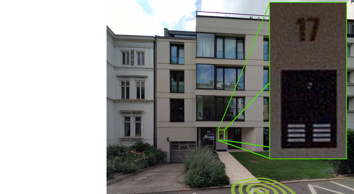
One of the main goals of the strategic network planning is to determine where and how a fiber network route can be rolled out in the most cost efficent and labour effective manor. In this phase, up to dat and high quality demographic data is needed to determine if a profitable business case can be made to justify the investment. For example:
- Number of buildings
- Number of households in a building
- Type of building
- Surface type
- Accessabilty
Shift time consuming and expensive fieldwork to your desk by using Cyclomedia’s imagery and data solutions. Reduce cost and project run time, stay ahead of your competition with Cyclomedia.
Virtual site survey

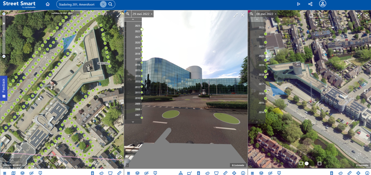
Through the Cyclomedia Street Smart interactieve web viewer, you will be able the gather information, perform site surveys and evaluate all findings directly from your desktop and smartphone. Thanks to the best-in-class image resolution of our Cyclorama’s and the accuracy of the LiDAR mapping, you save on expensive manual site visits and will be able to easily perform several activities on your desktop and smartphone:
- Overlay feature data
- Check cost enhancing obstructions
- Measure distances with minimum of deviation
- Draw 2D/3D structures over the images
Automate Network Design
When you are creating a high/low level design, detailed information on the geography of the proposed routes, as well as existing network infrastructure (such as street cabinets) is needed.
Cyclomedia’s Insights360 platform applies machine learning techniques to imagery and LiDAR data, producing unmatched completeness and accuracy in automated asset extraction.
Therefore, CSPs can automate engineering and optimize (for cost and time) routes given detailed information on: surface types, vegetation, traffic signs, containers, valves, fire hydrants, light poles, cabinets and manholes.
Validation of completed work
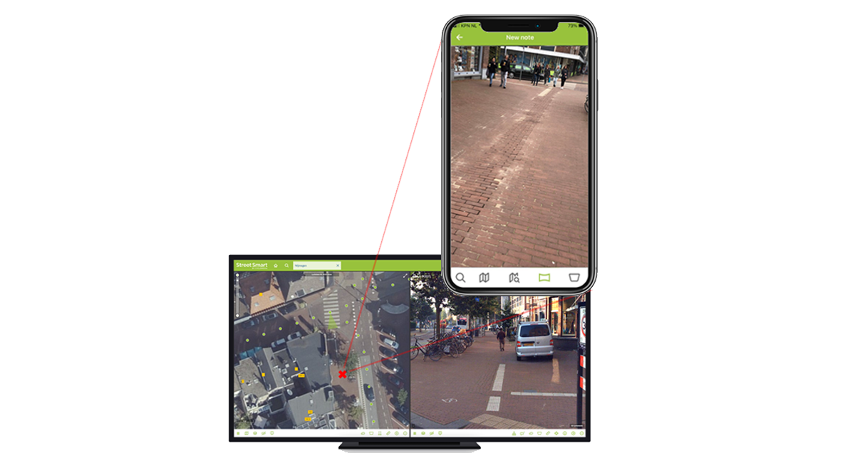
When validating completed work, it is incredibly important to have alignment between field survey teams and design/engineering teams. With Cyclomedia’s Street Smart, the public space is always within virtual reach for everyone and wherever they are and provides access to our high resolution imagery, maps, aerial photographs and oblique.
The Street Smart app includes the powerful and new Snapshot functionality. This allows you to take real time pictures with your iOS or Android mobile device which you can easily upload to your software to:
- Improve alignment between planning and survey teams
- Create digital records of fiber routes
- Build proof in case of conflicts
Let Cyclomedia help you to improve your fiber planning and roll out

