Enormous amounts of rich visual data, quickly and easily accessible.
Street Smart
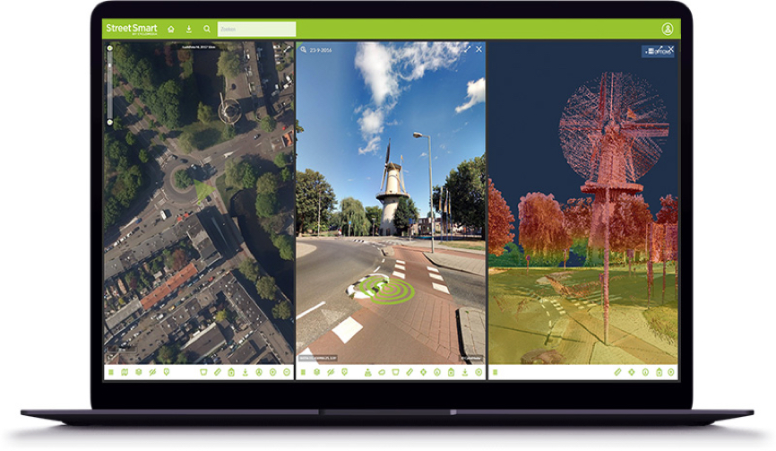
Street Smart is the interactive web viewer for all Cyclomedia content: cycloramas, aerial imagery and point clouds. Our user-friendly interface enables fast and easy access to all our data. This includes recent as well as historic data. Among the many other functions, it also includes several data layers and our “Measure Smart” feature. This makes measuring in our cycloramas both fast and easy.
Street Smart can be used “stand-alone” or within the framework of other existing GIS systems, by using our Street Smart API. Street Smart is also available as an app for use on mobile devices.
Cycloramas
A cyclorama is a 360° panoramic image with an ultra-high resolution. They provide a reliable and objective digital view of public spaces from street level. The high quality and resolution provides users with the clarity to see details like house numbers, infrastructure characteristics and the condition of assets and real estate. All can be viewed, assessed and analysed without having to go to the actual location.
LiDAR Point Cloud
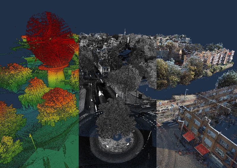
The LiDAR Point Cloud from CycloMedia is a three-dimensional point cloud with a very high density. CycloMedia leverages the benefit of capturing LiDAR data simultaneous to capturing our Cyclorama imagery. By this synchronic collection method, we ensure the highest levels of both quality and accuracy. We further enhance the LiDAR data by processing it with our proprietary CycloPositioner software, to increase its positional accuracy and to perfectly align with our imagery. This, together with the natural colors processed in the point cloud from our Cycloramas, makes the LiDAR Point Cloud a photorealistic, fully three-dimensional source of information for geo-referencing.
Aerial data
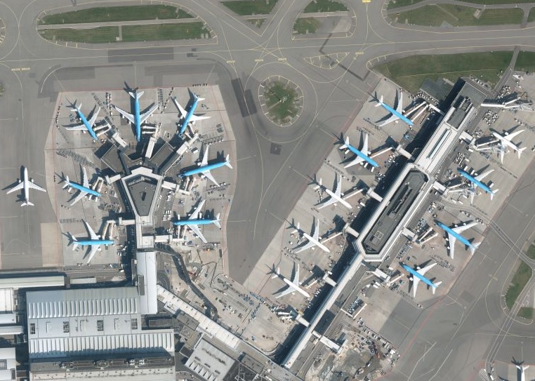
In the Netherlands, Cyclomedia provides two types of aerial imagery, both available in Street Smart.
- Stereo aerial.
- Oblique aerial.
Street Ortho
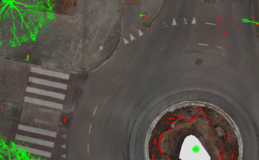
A high detailed true ortho photo of the road and its direct surroundings, without any obstruction from trees, bridges, overpasses or moving objects. Street Ortho gets generated out of our LiDAR Point Clouds and Cycloramas, both synchronically collected by our mobile mapping system. By combining them, we create a true ortho photo from the ground up.
Integrations
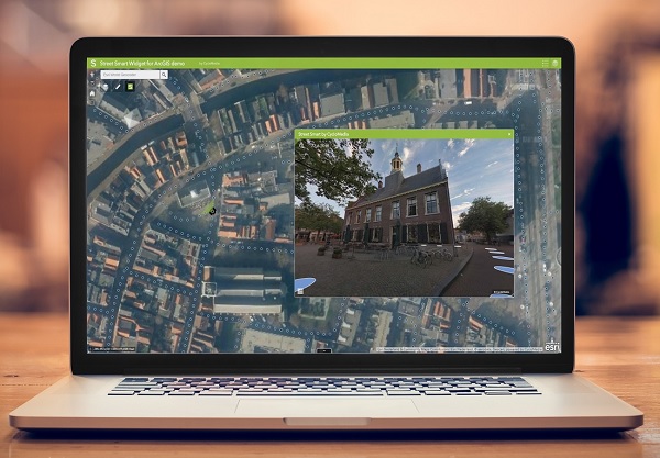
Street Smart API has a number of services to integrate Cycloramas and other Cyclomedia data into other applications.