About Cyclomedia
Our mission
Our mission is to digitize the outside world on a large scale, with high accuracy and in 3D to help public sector organizations and businesses assess outdoor infrastructure and plan improvements more efficiently, more effectively, more safely and more sustainably.
Cyclomedia captures data from the real world and transforms it into valuable insights. Enabling you to understand the complexities of the environment around you.
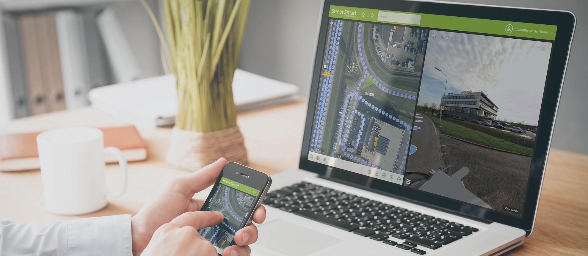
Using the world’s most accurate 360°street-level visualizations, enhanced by innovative AI-powered analytics, Cyclomedia delivers actionable insights. Insights that you can use today to build a better tomorrow.
How do we realize that?
Cyclomedia develops, builds and operates the world’s most advanced mobile mapping systems. A combination of sensors ranging from cameras and Lidar scanners to state-of-the-art positioning systems map public space in Western Europe and North America.
On an annual basis, Cyclomedia currently captures and processes over 400,000 km's of 360° panoramic street level images and LiDAR data worldwide. That represents over 30 million recordings per year, and these numbers increase significantly every year. All those petabytes of data that we collect every year, are used by city governments to large corporates working in telecom, utilities, infrastructure, solar, construction, real estate and insurance.
Cyclomedia helps companies to make the right decisions based on actual and accurate data. Today, our solutions make cities safer, more sustainable, accessible and smarter.

Cyclomedia
Using the world’s most accurate 360°street-level visualizations, enhanced by innovative AI-powered analytics, Cyclomedia delivers actionable insights. Insights that you can use today to build a better tomorrow.
Today, our solutions make cities safer, more sustainable accessible and smarter.
