Smart Cities
Here’s your guide to the cities of the future. To growing cities. To connected cities. To digital cities. To transparant cities. To data-driven cities. To your city.
How well do you know your city’s risks and solutions?
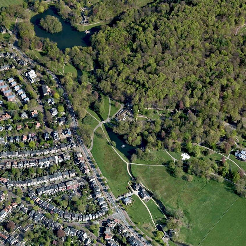
Climate change is happening, even if your city might not have experienced extreme effects yet. Find out your city's risks—and how to combat them.
A smart city is a connected city
Smart cities
You run a city – and that’s hard enough as it is. With more than half of the world’s population already living in cities, we encounter new challenges every day.
Combine this with ever more demanding citizens, higher standards and diminishing resources for government and you know you’re in for something interesting.
We’re happy to take you on a journey – this is how we envision Smart Cities.
Future city
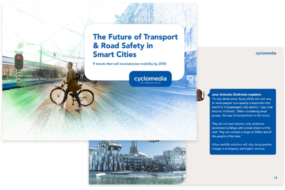
Your city needs a digital transformation and your way of working is in need of an update. You want to adapt to the new - smart - reality, assisted by visual imagery that can double as a digital twin. Do more work with less effort and resources. A future city is a data-driven city.
Green city
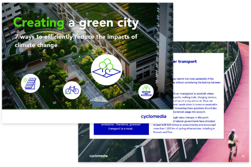
We need to adapt to climate change. From New York to The Netherlands, Cyclomedia helps you to receive the right data to make smarter decisions. Does your city want to reduce greenhouse gasses? Know how many trees you have? Understand what the ratio of green versus grey is? The data can help. Stay tuned for informative stories that will help you move forward. Sign up for our newsletter to be in the know.
Green city content
Safe city
There’s a fire? Situational awareness can make the difference. In Philadelphia, responders first look at accessibility before jumping into the fire truck. Smart thinking, better results. Stay tuned for informative stories that will help you move forward. Sign up for our newsletter to be in the know.
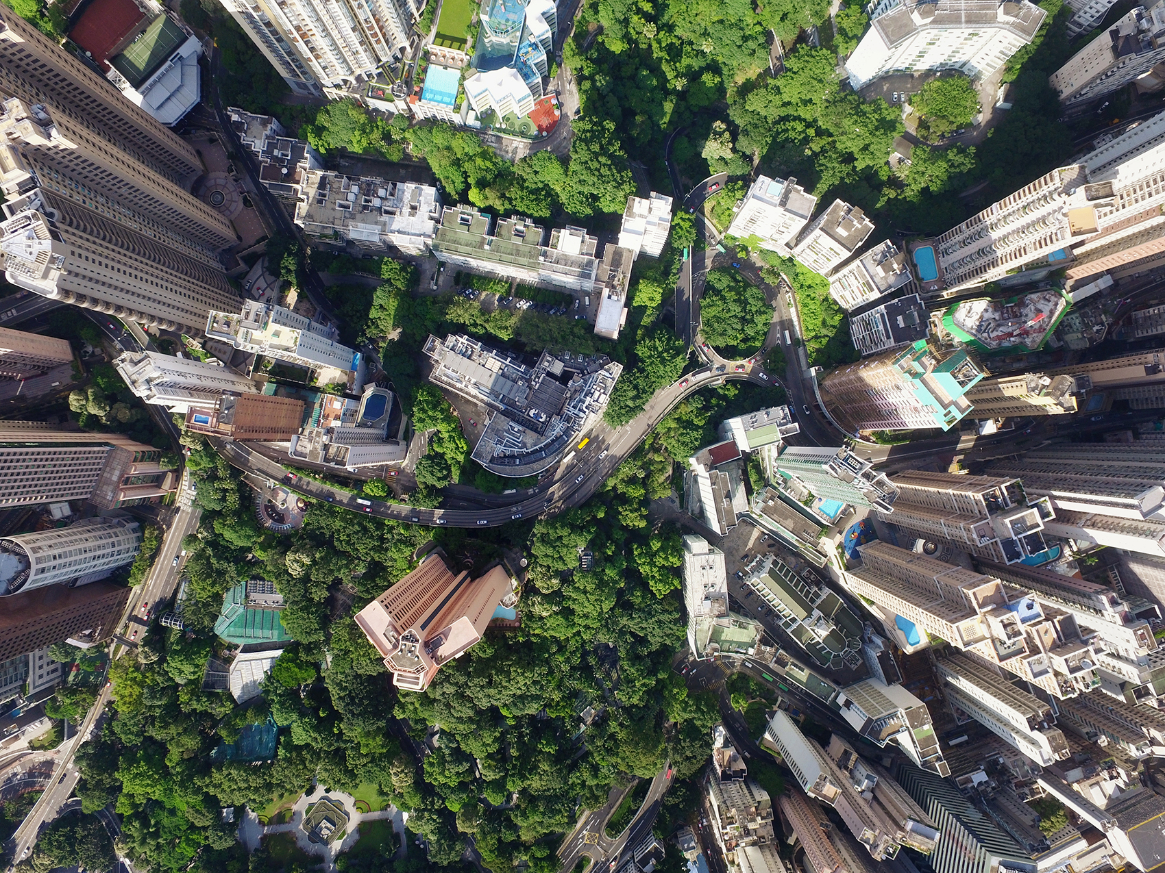
Smart city technologies
We're reimagining our urban spaces, the concept of smart cities is a game-changer and Cyclomedia is a frontrunner. We're using next-level 3D tech and software to bring our cities into the 21st century. These are more than just maps. They're blueprints for a future where every city service works smarter, not harder, from the ground up.
Cyclomedia is at the forefront, turning the dream of smart cities into reality. By LiDAR and 3D technology, we gather intricate data for city planners. Imagine having a Google Earth, with more smart city solutions.
Giving you the knowledge everything from traffic flows to the best spots for new parks. This is the kind of intel that can charge smart transport networks, push forward electric vehicle integration, and even ensure your street lights are energy-efficient.
Smart city projects
We are at the forefront of urban evolution, where smart cities becomes reality with Cyclomedia's smart city solutions. Our innovative smart city technologies are redefining urban spaces, making them more efficient, sustainable, and conducive to improving the quality of life for all inhabitants.
With our smart technologies, communication technologies and smart city services, we are leading the progress in the technological transition to smarter cities. City leaders are utilising our sophisticated 3D technologies and software to capture the urban environment in unprecedented detail and accuracy across the UK.
Smart technology to collect data that matters
Smart City from Cyclomedia is an immersive experience that allows users to virtually walk or fly through cities, offering unique insights into urban environments. We support cities in their transition to becoming smart cities, so they can better address the needs of their residents and tackle the challenges of the 21st century.
We have been collaborating with public services, governments, and various academic institutions. Doing so, Cyclomedia is dedicated to realizing a smart city through our data. For public safety, air quality, quality of life, job creation in smart cities and more.
Our initiatives aim to solve issues such as congested traffic flows and unhealthy concentrations of fine particles, enhancing smart mobility and steering the smart city towards solutions that facilitate smoother transportation and cleaner air.
Interested in learning more? Get in touch!
Leading the technological transition to smart cities
Our software renders the entirety of the UK in 3D, accessible with unparalleled precision. This technology has a wide array of applications across different industries, improving the infrastructure and services of a smart city. Urban development projects, the development of city services, and emergency preparedness and response can all benefit from our accurate 3D city models.
Smart mobility and a smart economy in a smart city
Smart mobility reduces reliance on individual cars by enhancing the availability of shared vehicles and efficient public transport. Transparency in traffic information shortens commute times and improves the overall urban experience.
Within the network and culture of a smart city, these innovations foster business process innovation, support local entrepreneurship, and provide access to open data for business opportunities, strengthening the city's economy. This indirectly improves healthcare and resource efficiency, helping the city in making well-informed decisions for a better future.
Three key solutions to drive urban areas
Cyclomedia is revolutionizing the way we envision and build smart cities, offering three key solutions to drive urban transformation. How our smart city initiative and smart technologies improves the quality of life in smart cities?
Through assets, taxation and visualisation. Keeping track of the location and changes of the most important assets in a city can be a daunting task. Cyclomedia simplifies this by providing detailed visual data of these assets, helping city planners and administrators maintain an accurate and up-to-date overview.
It might be public utilities, infrastructure, or green spaces, understanding the current state of these assets is needed for efficient urban management and planning.
Taxation and visualisation
Processing tax assessments can often be slow and cumbersome, particularly when it involves data from public spaces. Cyclomedia streamlines this process by utilizing open-space data to speed up tax assessments. This approach makes the process more efficient but also ensures a fairer and more accurate tax system for citizens, contributing to the city's financial health and sustainability.
Next to that, engaging citizens and stakeholders in urban development is crucial for a smart city. Cyclomedia takes this engagement to the next level by offering 3D visualizations of urban plans. This immersive experience allows everyone involved (the city government, the community analysis bureau, the private sector, and of course the future smart citizen) to truly understand and envision the proposed changes.
For a collaborative environment where feedback and ideas can be shared openly, so that urban development projects reflect the needs and desires of the community.
Transparent big data and machine learning solve urban challenges
Making thoughtful and informed decisions about city planning, the smart economy, and development becomes simpler for public organizations in a smart city. The ability to place virtual buildings and perform thorough simulations enhances decision-making processes.
Cyclomedia's software offers academic institutions, construction companies, and public organizations a valuable tool for conceptualizing, organizing, and executing construction projects within a smart city. Companies can meticulously inspect construction sites and measure with millimetre precision, increasing productivity and efficiency in the construction process.
City development for a smart community
As cities worldwide strive to become smarter, the role of smart city technology and smart city projects has never been more critical. The way towards becoming a smart city involves a collective effort from city governments, technology providers like Cyclomedia, and the community.
By understanding smart city initiatives and smart city applications, we can transform our urban spaces into models of energy efficiency, sustainability, and enhanced livability for all residents.
Cyclomedia is at the forefront of this transformation, providing the tools and insights necessary for cities to navigate the complexities of modern urban development. Our commitment to enhancing the urban environment through technology is a significant step forward in the realization of future smart cities.
Let's connect!
Discover what our best-in-class imagery data and the insight we derive from them can do for your smart city!
Cyclomedia as one of the smart city technology providers
With our artificial intelligence solutions, we're making city living in future smart cities easier. Cyclomedia's tech provides the backbone for initiatives that improve quality of life and slash city running costs.
Reducing traffic jams, effective waste management, smart transportation and energy consumption. And with climate change and population growth knocking at our door, this data is important for smart energy solutions that make our cities greener and our air cleaner.
Innovation and efficiency
In the bustling metropolises of today, smart cities are all about innovation and efficiency. The smart city network is not simply a city equipped with digital technology. These cities are ecosystems where smart city technologies intertwine with daily operations to enhance the lives of residents and the environment. Eager to explore how these technologies are revolutionizing transport, healthcare, and beyond? Contact us today!
Better transport
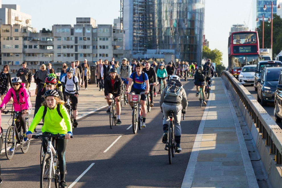
Smart cities leverage smart technologies and information and communication technologies to streamline commutes and reduce congestion. Smart transportation systems and smart traffic management employ data analytics and real-time feedback to adjust traffic signals, reducing wait times and emissions.
Electric vehicles (EVs) are encouraged through incentives and infrastructure, like widespread charging stations powered by smart energy sources. Meanwhile, autonomous vehicles promise to further revolutionize transport, reducing the need for parking spaces and personal car ownership, thanks to connected devices that allow for seamless operation.
Smart parking apps guide drivers to available spots, reducing the time spent circling city blocks. This cuts down on frustration but also significantly lowers vehicle emissions, contributing to better air quality.
Smart energy management and public safety
Smart cities employ smart technologies to optimize energy use, reduce waste, and increase reliance on renewable sources. Through smart city infrastructure, energy consumption in buildings is monitored and adjusted in real-time, contributing to a sustainable urban future.
Enhanced communication technologies and city's data visualization apps allow for real-time monitoring of urban areas, improving emergency response times and public safety. Smart city ecosystems integrate various data sources, enabling authorities to predict and respond to incidents more effectively.
How smart technologies take urban planning into account
Smart city planning leverages smart city data to envision and execute development projects for urban populations. Digital technology and data visualization apps provide planners and city leaders with the tools to simulate and visualize the impact of proposed projects, making sure that city functions evolve in harmony with residents' needs.
Smart cities and urban development by Cyclomedia is where technology and data drive innovations for a higher quality of life. As world's smartest cities demonstrate, the integration of smart city infrastructure, smart city initiatives, and smart technologies into city operations marks a transformative era in urban living. The future of smart cities is a reality being built today with our city's data visualization app.
A practical suite of measurement tools
Street Smart offers a practical suite of measurement tools, for users to capture metrics for points, lines, and areas across a wide range of data. This functionality is invaluable for various applications, including calculating heights or extracting orthogonal information. Measurements predominantly leverage the LiDAR point cloud or its derived data, although image-based measurements are also possible. All captured metrics can be efficiently saved and exported for further analysis or reporting.
Street Smart also enhances spatial understanding by overlaying data layers on maps, Cycloramas, and public aerial photographs. This feature significantly improves workflow efficiency by providing quick insights, facilitating inventory tasks, inspections, and detailed analyses. Next to that, the introduction of a “playlist” function allows users to automate the playback of selected locations or routes, showcasing the Cyclorama view for each specified point.
The platform also incorporates a sharing functionality, so that users can distribute information more easily, create links, or generate comprehensive reports incorporating images and detailed annotations.
BIM model in mesh mixer & participation
The BIM in mesh feature simplifies the integration of 3D models into the planning process, allowing for an immediate assessment of their impact on the existing environment. This tool is particularly effective for engaging with citizens and stakeholders, offering a transparent view of proposed developments. It also facilitates the review and cataloguing of public space objects, adding valuable context to urban elements. The 'fly-to' feature makes this option even better by enabling the creation of illustrative videos for presentations and plan sharing.
Integration with ArcGIS software and 3D object mesh
For tasks requiring detailed geometric analysis, modeling, and mapping, our handy Street Smart software can be integrated with ArcGIS software. This integration streamlines the analysis of buildings, simplifies the modeling process, and enhances the design phase, particularly when working with specific materials. It's a beneficial tool for professionals in the construction sector, offering a streamlined approach to complex building designs.
Smart technologies for local governments
Cities today face complex challenges across infrastructure, public transport, housing, construction, and sustainability. Managing these multifaceted elements within daily operations can be quite difficult. However, leveraging data transforms these challenges into manageable tasks, for a deeper understanding of the urban fabric. This insight is indeed important for enhancing city living conditions for all residents.
Cyclomedia delivers street-level data, creating a digital twin of urban environments. Our digital navigation tool allows for the remote inspection and evaluation of locations, bypassing the need for physical site visits.
The automatic identification of public space assets through this platform offers a comprehensive data resource, facilitating informed decision-making and future planning. This digital twin concept equips city planners and administrators to swiftly adapt to evolving urban demands and significant developments affecting city life, such as demographic shifts, mobility requirements, climate change, and urban planning challenges.
Let connect!
Discover what our best-in-class imagery data and the insight we derive from them can do for your smart city!