-
Products
- Data capture Recording vehicles, cameras, LiDAR scanners and the capturing process
- Data visualisation Street Smart, Cycloramas, Lidar point clouds and other data
- Data insights Get valuable insights with our AI based analytics solutions
- Solutions
-
Resources
- News Read the latest news items
- Blogs Read our blog articles
- Events See the events that we are attending
- Smart cities Articles, blogs and whitepapers about smart cities
-
Company
- About Cyclomedia Read about who we are and what we do
- History 30+ years of visualising the real world
- Research & Development Improving products and services through innovation
- Contact Get in contact. We are happy to help you.
-
Support
- Support for users Training and Servicedesk information
- Support for developers API documentation and example codes
- Contact Servicedesk Get in contact. We are happy to help you.
Free trial

News | 20 April 2021
Darmstadt wird gescannt und vermessen
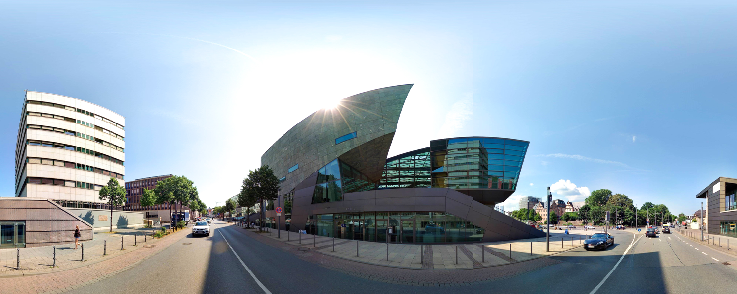
Wir aktualisieren die Panoramabilder in Darmstadt
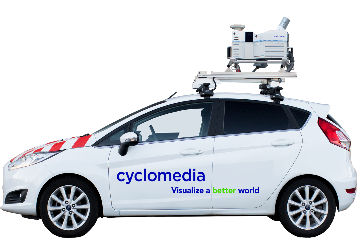
Wie im Darmstädter Echo nachzulesen, startet am 20. April 2021 die bereits fünfte Befahrung des Darmstädter Stadtgebietes. Im Zuge der Digitalisierung der städtischen Infrastruktur erhält die Stadt Zugriff auf Bild- und Laserscandaten des öffentlichen Raums. "Mit diesem Material erhalten wir einen uneingeschränkten, realistischen Blick auf den öffentlichen Raum unserer Stadt.", so Planungsdezernentin Barbara Boczek.