Blog | 17 April 2024
Revolutionising Public Safety with Cyclomedia
Revolutionizing Public Safety with Cyclomedia: A Next-Gen Approach
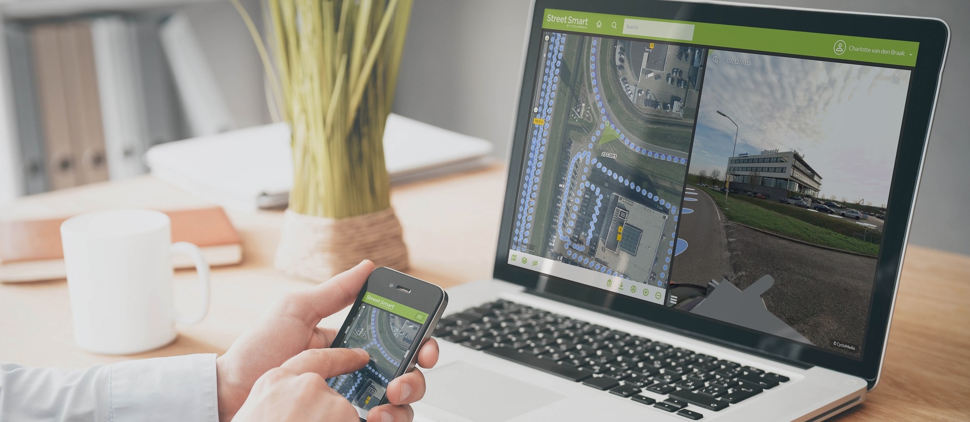
When it comes to public safety, every second counts. Cyclomedia is at the forefront of transforming how first responders plan and react by providing a groundbreaking worldview beyond traditional 2D maps and aerial photographs.
Our high-resolution, street-level views, combined with dense LiDAR point clouds, offer an unparalleled tool for disaster preparedness, flood mitigation, and emergency response. Here's how Cyclomedia is reshaping the landscape of public safety.

Visualizing detailed street-level information aids in meticulous pre-planning for potential disasters, ensuring that first responders are well-equipped and informed.
Cyclomedia's capabilities extend to flood-prone areas, enabling authorities to strategize and implement effective measures to mitigate the impact of floods on critical infrastructure.
In times of crisis, immediate and accurate information is crucial. Cyclomedia empowers first responders with real-time, street-level insights for swift and effective emergency response.
How Cyclomedia Can Help: We're the Foundation for Next-Gen Planning and Public Safety.
Know before you go
Efficient planning
Integration flexibility
For the multitude of challenges faced by public safety agencies, Cyclomedia stands as the clear solution. Visualize a better world with Cyclomedia - where every response is swift, informed, and impactful.
Want to know how can transform your business?

