Tax Assessment
Increase tax assessment accuracy with real data
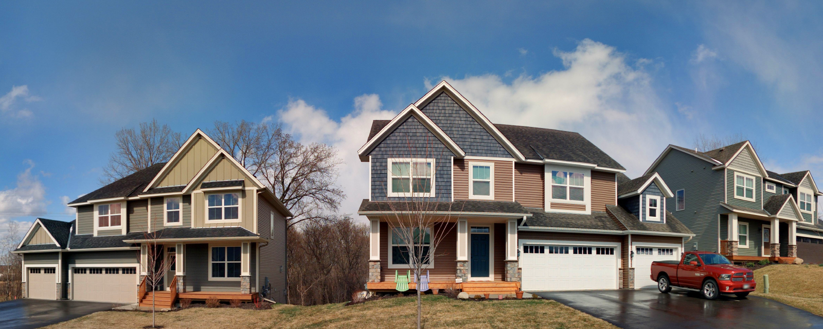
Cyclomedia’s street-level imagery provides your tax assessment office with far more than just a high-resolution picture. We capture a series of panoramic images that allow you to see the property from multiple angles, view the surrounding area, view condition and grade, as well as take measurements of structures.

Benefits:
- 360-degree panoramic images in a regularly-spaced series along streets and alleys to allow views of properties from multiple angles.
- Pixel sizes of a fraction of an inch to provide detailed views of building materials and property condition.
- Tools to capture rectangular photographic cut-out images of areas of interest for use on property cards or other reports.
- Imagery doubles as a community-wide asset, allowing other local government departments to benefit from viewing conditions in the field, collecting data, and taking measurements.
