A global leader in geospatial data capture and visualization technology


Cyclomedia is a global leader in geospatial data and intelligence
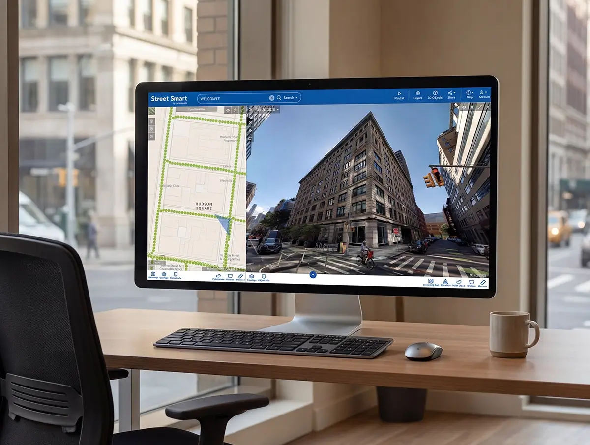
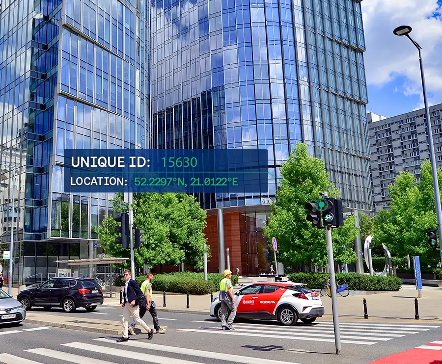
Cyclomedia digitises the outside world at scale. Using highly accurate street‑level imagery, LiDAR data and AI-powered analytics, we create reliable digital representations of cities and infrastructure that support planning, maintenance, and public safety. We empower governments and businesses to make smarter, data-driven decisions.
Our data helps professionals assess assets remotely, reduce field visits, and make decisions based on consistent, measurable information rather than fragmented local surveys or outdated records.
Founded in 1981, Cyclomedia has established itself as a global leader in geospatial data capture and visualization technology.
Since its founding over four decades ago, Cyclomedia has focused on one goal: creating accurate, large‑scale digital representations of the physical world. Continuous innovation in camera systems, positioning technology, and data processing keeps us at the forefront of street‑level data capture.
1980
Start research 'FRANK' system
(TU Delft)
1988
Development of prototype fisheye cameras and
recording vehicles
1994
Start experiment with Dutch Cadaster, Amsterdam and Rotterdam
2008
7th generation digital recording system: DCR7 (record while driving)
2008
Start of yearly nationwide aerial photography
2009
Nationwide Cyclorama coverage of the Netherlands
2010
Mass roll-out Globespotter® webbased viewer
2011
Start with 3D pointcloud and textured mesh processing
2012
1st Cyclorama capturing in the US and Germany
2014
10th generation digital recording system: DCR10
2015
Nationwide Oblique aerial imagery in the Netherlands
2017
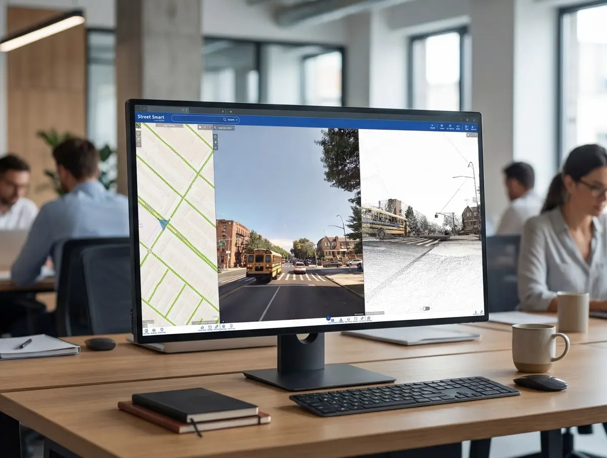
New webviewer launched: Street Smart
2021
Introduction of 3DNL: the Netherlands in photorealistic 3D
2024
Acquisition of Smart Factor in Poland
2025
Acquisition of Detekt in Austria
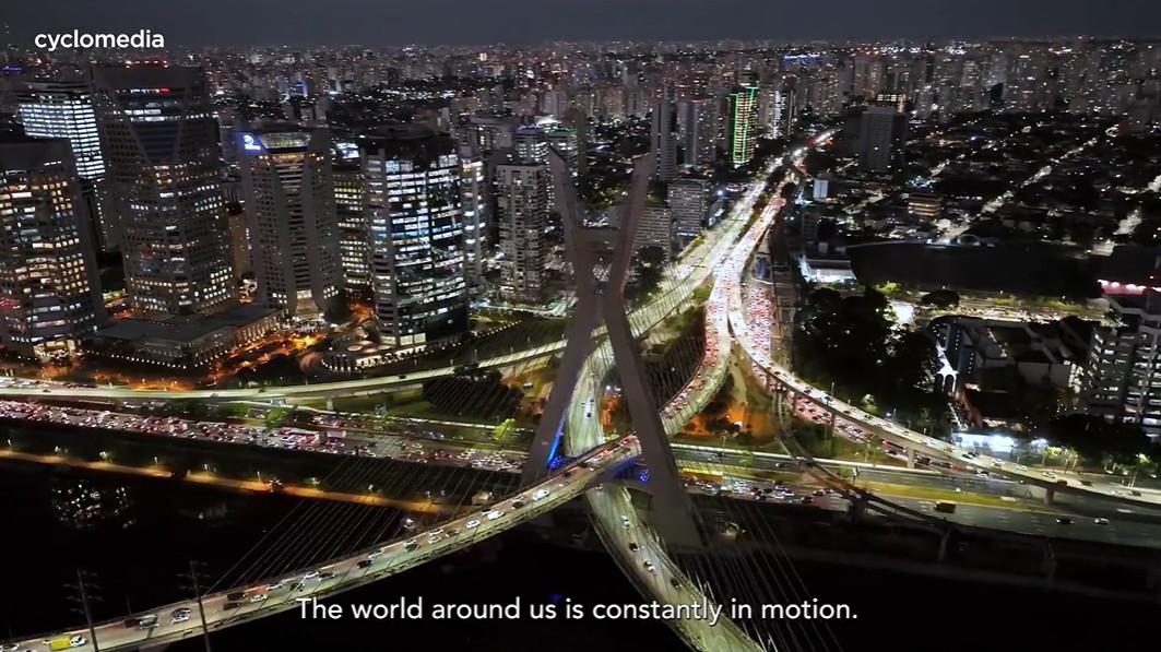
Supporting safer and more accessible cities
Cities use Cyclomedia’s data to inspect streets, pavements, and public spaces remotely, helping improve safety, accessibility, and maintenance planning without unnecessary site visits.
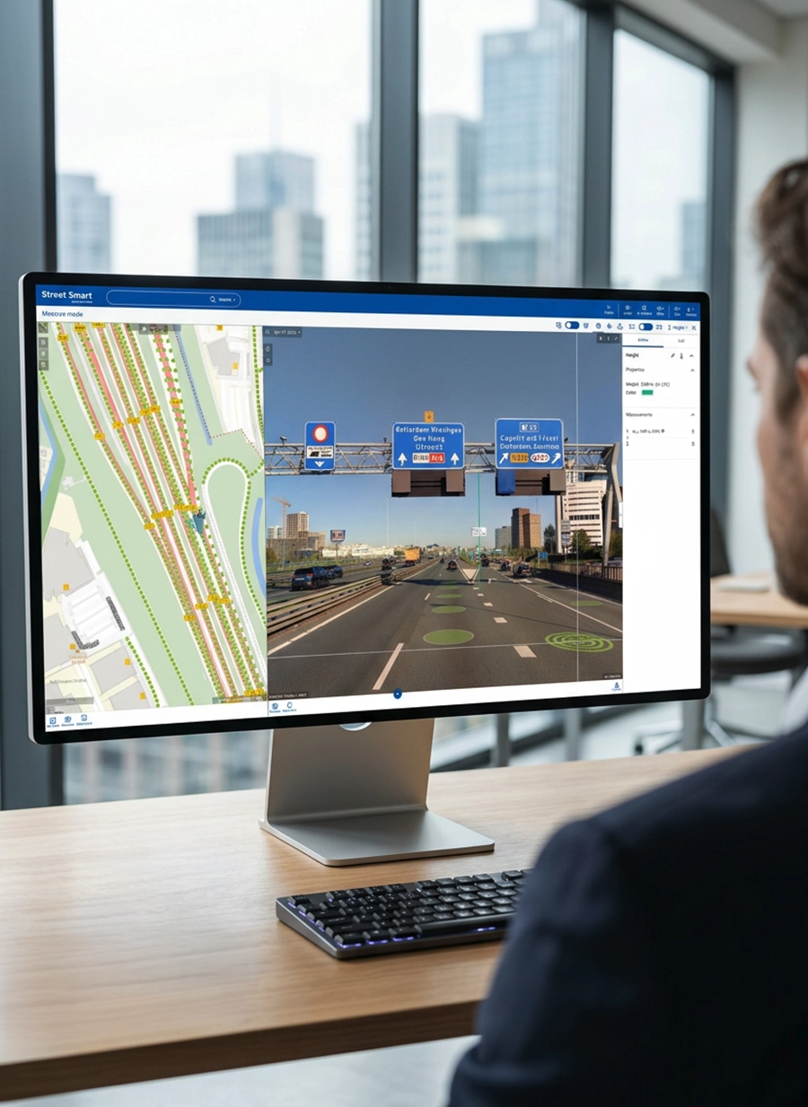
Smarter infrastructure and asset management
Infrastructure owners rely on accurate street‑level data to assess asset condition, prioritise maintenance, and plan investments using consistent, defensible information.

Reliable data for utilities and networks
Utilities use Cyclomedia’s imagery and LiDAR data to understand networks, reduce fieldwork, and coordinate teams around a shared, up‑to‑date view of the environment.
Trusted insight for long‑term decision‑making
From planning to operations, Cyclomedia helps organisations move from reactive fixes to proactive management using accurate digital representations of reality.