LiDAR point cloud
The highest levels of both quality and accuracy
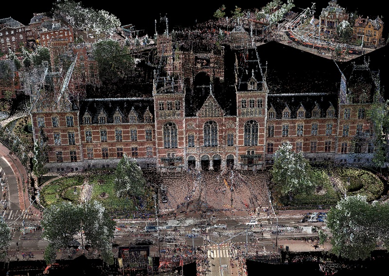
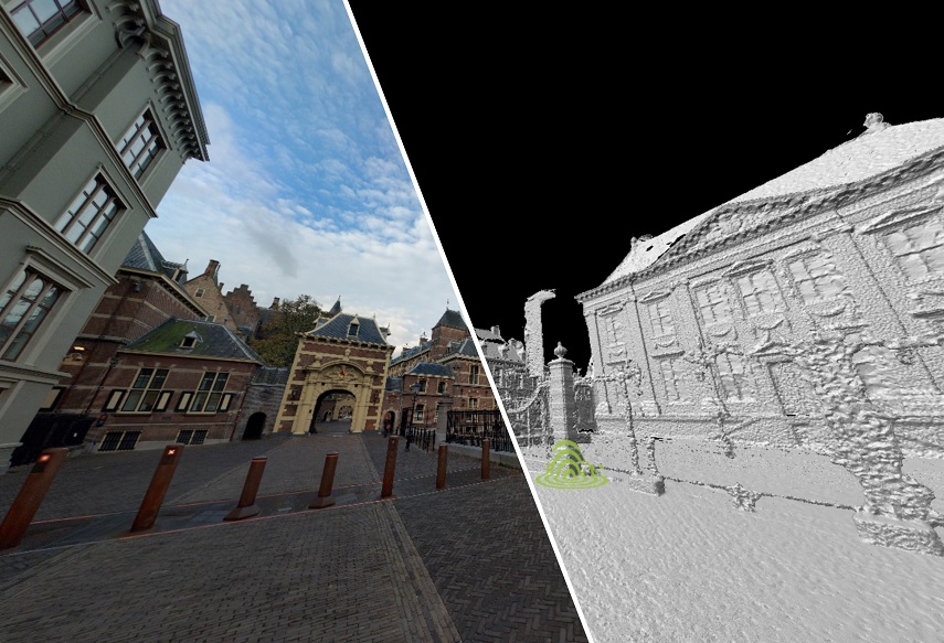
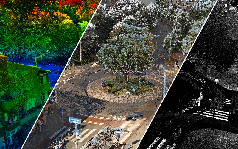
The LiDAR Point Cloud from Cyclomedia is a three-dimensional point cloud with a very high density. CycloMedia leverages the benefit of capturing LiDAR data simultaneous to capturing our Cyclorama imagery. By this synchronic collection method, we ensure the highest levels of both quality and accuracy. We further enhance the LiDAR data by processing it with our proprietary CycloPositioner software, to increase its positional accuracy and to perfectly align with our imagery. This, together with the natural colors processed in the point cloud from our Cycloramas, makes the LiDAR Point Cloud a photorealistic, fully three-dimensional source of information for geo-referencing.
Applications
Having LiDAR data available also enables the use of Cyclomedia’s Measure Smart tool which takes advantage of a “depth” 3D Cyclorama layer produced from the point cloud, making measuring in cyclorama’s very easy.
The LiDAR Point Cloud is available for viewing in Street Smart. Parts of the point cloud can also be downloaded for use in other software applications, such as CAD and BIM packages. You can select an area on the map and download a LAZ file for further processing in other applications.
The Cyclomedia LiDAR point cloud adds real value in the following exemplary work processes (amongst others):
Areas of application

The Cyclomedia LiDAR Point Cloud allows you to move freely in three dimensions and view locations from any perspective, enabling line of sight analysis. This makes it possible to easily plan and prepare security of large events. Other applications such as real-time monitoring of visitor flows, visualizing nuisance based on sensors, and simulating calamities reduce risks and contribute to maintaining public order and safety.

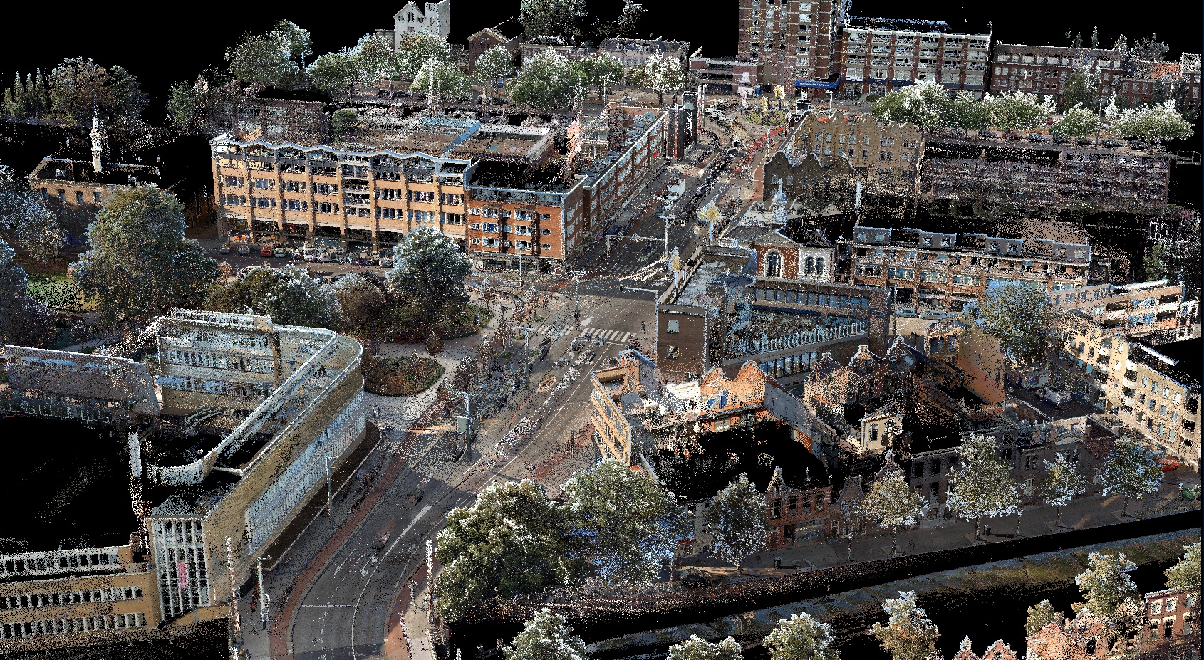
Because of the high relative accuracy ( < 2 cm) it is possible to measure and map directly in the point cloud in 3D. All regular GIS and CAD software has the possibility to import our point cloud. The use of the CycloMedia LiDAR Point Cloud makes maintenance of basic and core registrations faster and easier, therewith increasing productivity.

Its high accuracy and photorealistic character makes the CycloMedia LiDAR Point Cloud very suitable for performing tasks in public space management. Whether it concerns vegetation analysis, inventory of objects (road markings, traffic signs, street furniture) or flooding and drainage simulations, the point cloud is a very valuable data source.

Based on the Cyclomedia LiDAR Point Cloud it is very easy to construct the contours of existing buildings in 3D. This makes it possible to efficiently determine the volume of real estate objects to support the valuation process.

