Heading 1
Heading 2
Heading 3
Heading 4
Heading 5
Heading 6
Lorem ipsum dolor sit amet, consectetur adipiscing elit, sed do eiusmod tempor incididunt ut labore et dolore magna aliqua. Ut enim ad minim veniam, quis nostrud exercitation ullamco laboris nisi ut aliquip ex ea commodo consequat. Duis aute irure dolor in reprehenderit in voluptate velit esse cillum dolore eu fugiat nulla pariatur.
Block quote
Ordered list
- Item 1
- Item 2
- Item 3
Unordered list
- Item A
- Item B
- Item C
Bold text
Emphasis
Superscript
Subscript
Capturing the world with advanced technology to deliver precise, actionable data and insights


Our company
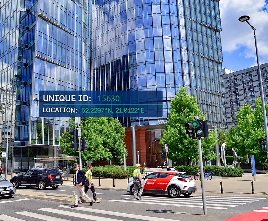
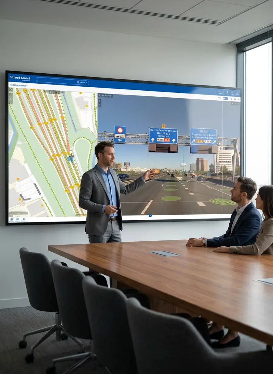
For more than 40 years, Cyclomedia has been a leader in geospatial data capture and visualisation technology, working with public authorities and organisations across Europe and beyond. We support better decision‑making through accurate, comprehensive spatial data. Our imaging technology and analytics platforms serve government and enterprise users with reliable insights that improve operational efficiency and outcomes. With a strong focus on innovation, we continue to advance geospatial intelligence and workflow automation.
years of experience
images captured
miles captured yearlly
capture systems
Work for an innovative company
Explore our current openings and find your next career opportunity. Join a team of passionate innovators working on cutting-edge technology that impacts millions of people worldwide. At Cyclomedia, we value creativity, collaboration, and continuous learning. Some of the benefits:

Remote work options
Learning & development options
Global impact
Mentoring program
Our partners
We collaborate with industry leaders to deliver exceptional solutions to our clients.


.webp)
Driving responsibility across our organization
Cyclomedia is committed to responsible practices that support our people, our environment, and the communities we serve. We focus on transparency, accountability, and measurable progress across our operations and technology.