2,562
Pedestrian ramps
26,342
Traffic signs
15,489
Trees
Visualize a better world
We capture accurate visual data from the environment around you
and transform it into valuable insights. Real data. True understanding. Big impact.
Valuable data extracted from unmatched imagery
Rich visual data quickly and easily accessible
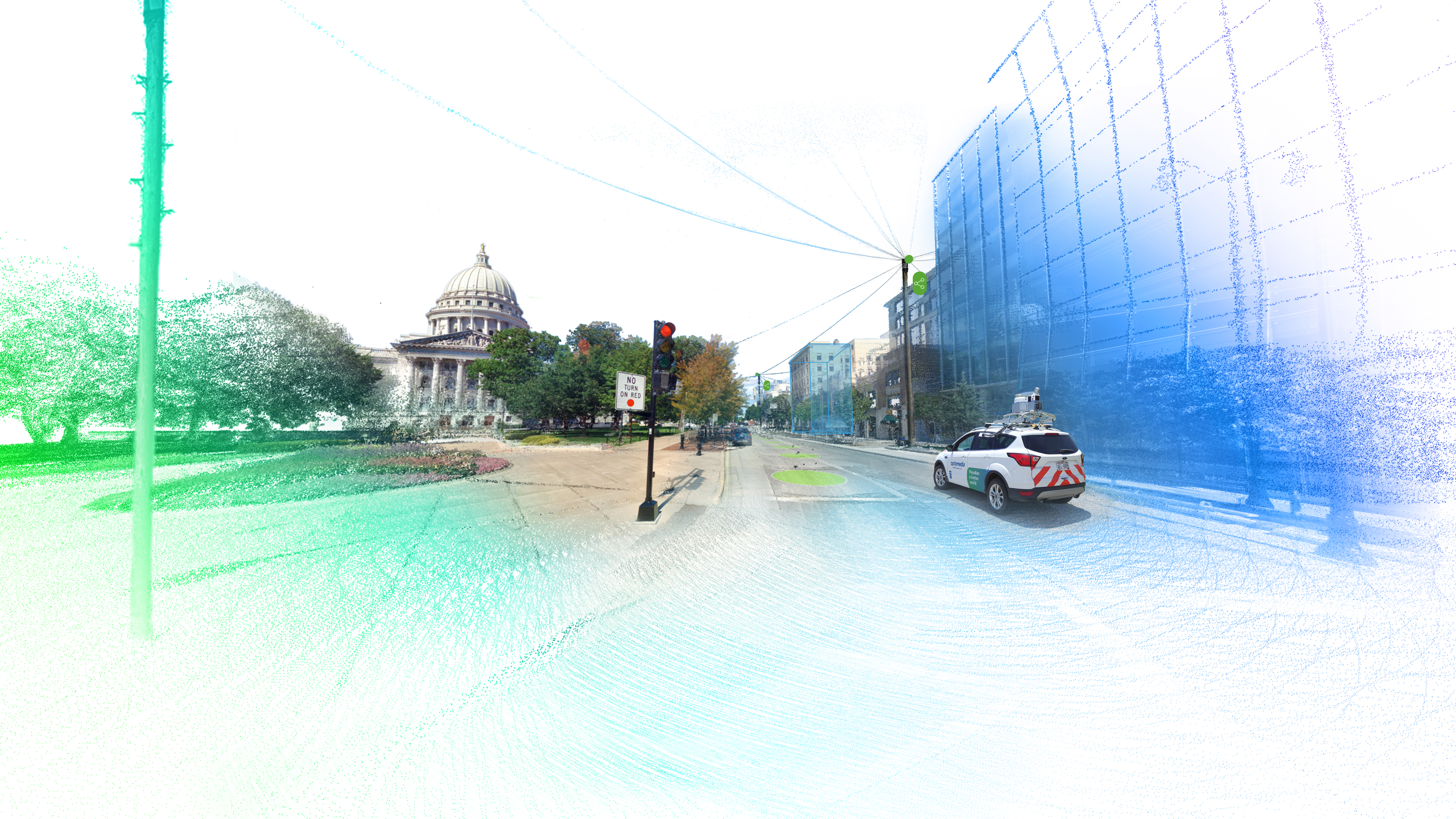
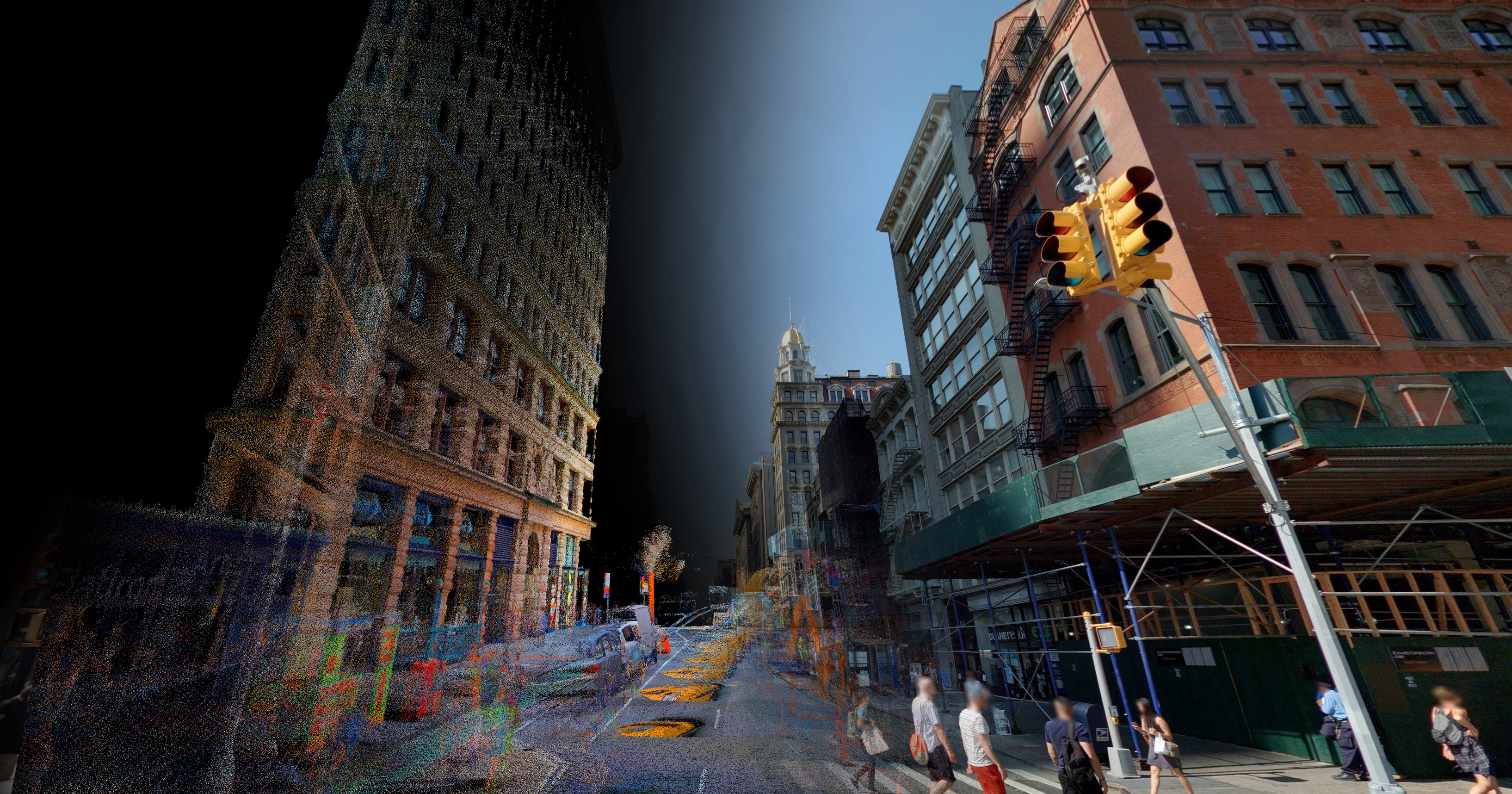
Cyclomedia’s imagery data and LiDAR point clouds are accessible through our Street Smart web viewer, along with integrations into Esri’s ArcGIS platform. Our Street Smart API allows the GeoCyclorama imagery, point clouds and software functions to be integrated into other systems and applications across your organization.
More about Data VisualizationGain data insights to create a better world tomorrow
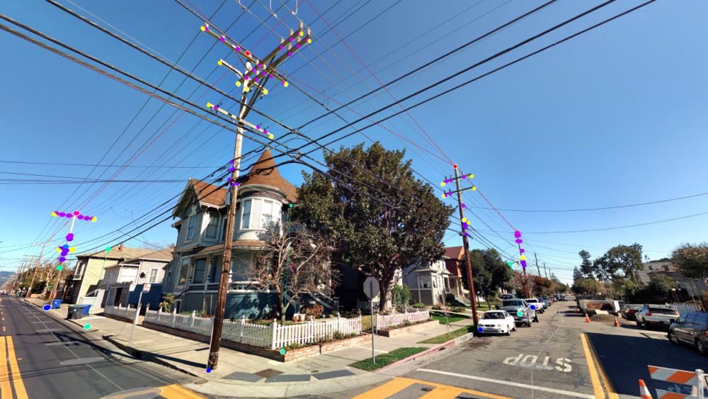
Quickly and cost-effectively collect a large inventory of your assets, such as street lights, traffic signs, trees, manholes, billboards, and more.
More about Data InsightsSolutions for every business
Local Government
Utility
Communications
Transportation
News and resources
More than 1,000 customers benefit from our data and insights
Get started for free
See for yourself! Speak with one of team members to see how Cyclomedia solutions can simplify your workflows.
Request a free demo