Transportation
Enhance roadway analytics through automation
Cyclomedia’s solutions for Transportation transform anything visible from the roadway into valuable data. As an industry leader in high resolution 360° street-level imagery and LiDAR, Cyclomedia ‘brings the outside world in’ by producing geometrically correct, positionally accurate virtual models of any given location. Data analytics are performed to identify assets of interest, their condition, and their exact location. Transportation organizations can leverage this information to ensure they are achieving the best overall condition of their entire roadway network- without having to do any manual inspection. These solutions build efficiency and increase staff safety, extending into every group within a Department of Transportation to be used as an organization-wide resource.

Video: Cyclomedia's solutions for Transportation
It's time to change the way you collect, manage, and maintain your critical transportation infrastructure data. Our large mobile fleet of data collection vehicles, equipped with leading-edge technology, collect the vital data you need by driving your entire transportation network. Watch the video to learn more!
Highway safety
Cyclomedia’s 3D roadway imagery, data extraction services and software tools can help Safety Offices with more than just MIRE data.
- Creating a Strategic Highway Safety Plan (SHSP)
- Supporting FHWA initiatives such as Highway Safety Improvement Program (HSIP), High Risk Rural Roads (HRRR), Railroad-Highway Crossing Program (RHCP), or Safe Transportation for Every Pedestrian (STEP)
- Having a detailed inventory of roadway characteristics, countermeasures and physical assets
- Identify and collect information about important safety areas, such as railroad crossings, bike lanes, and pedestrian crossings
Transportation planning
- Detailed Asset Analytics for roadway Inventory and HPMS Collection
- Enhance photolog viewers with our 360⁰x180⁰ 100 megapixel imagery
- Integration with Esri Tools
- Perform ad-hoc measurements for new HPMS Sample Panels
Maintenance & asset management
- Transportation Asset Management Plan (TAMP) inventory
- Detailed data analytics for roadway assets
- NBI collection & vertical clearances for bridges
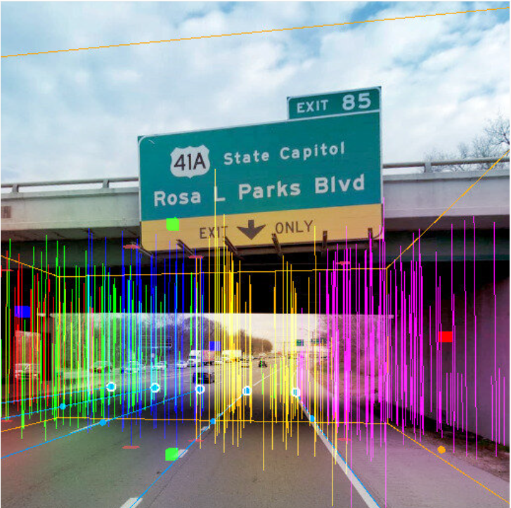
- High resolution imagery allows view of asset tags without a field visit
- Bring asset data and imagery into your Maintenance/Asset Mgt System
- Visualize assets in imagery
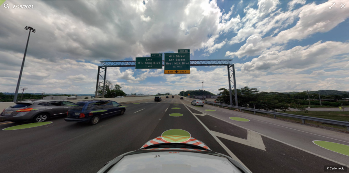
Streamline processes, eliminate manual inspections
Use our AI-powered analytics for things such as...
- MIRE collection & inventory
- Crash investigations
- Countermeasure inventory
- Railroad crossing examinations
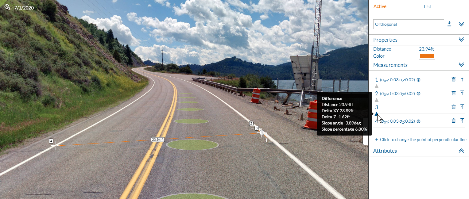
- Measurements (for lane widths, curb heights, clear zones, cross slopes, superelevations, and more)
- Guardrail inventory
.... and more.
"DDOT is using GeoCycloramas to revolutionize the way inspections for repairs, constructions, and permitting data are conducted in Washington, D.C."
-Cyclomedia Transportation Account Executive
Product: Curve & Grade
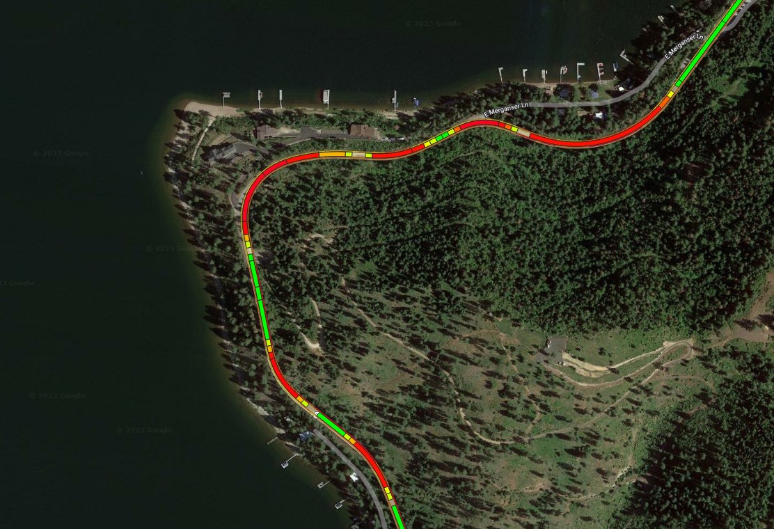
With our latest "Curve & Grade" product, Cyclomedia leverages the most advanced AI and Machine Learning technologies to deliver customers consistent and precise curve and grade data to support their HPMS, HSIP and Strategic Highway Safety Plan requirements.
This product allows you to virtually assess your road geometry at a network-wide level, quickly identifying areas of concern or reporting your HPMS data through a streamlined process.
Want to learn more?
Product: Condition Assessment for Traffic Signs & Pavement Striping
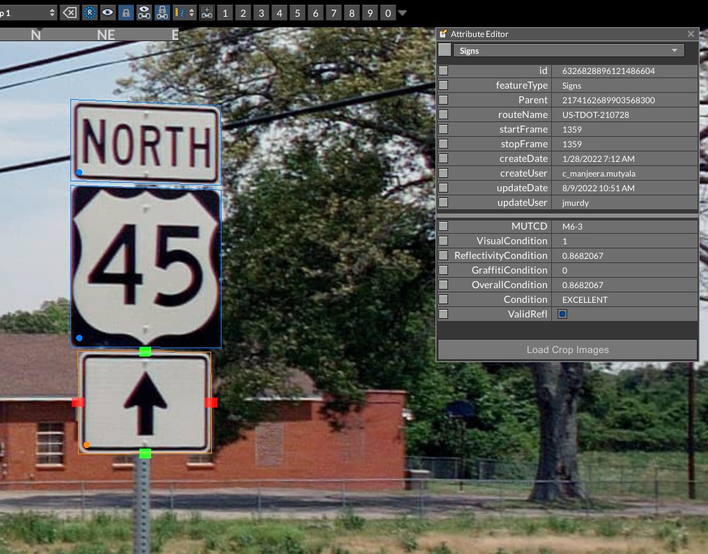
Recognizing the pressures that jurisdictions face to provide a safe and reliable transportation network prompted the creation of Condition of Traffic Signs and Pavement Striping (TS/PS) product by Cyclomedia. Having an updated asset inventory is required by the Federal Highway Administration (FHWA), and yet organizations are struggling to keep up with this demand.
So, what can organizations do in order to stay in line with FHWA regulations? Our Traffic Signs and Pavement Striping (TS/PS) solution solves the problems associated with collecting and assessing pavement striping and traffic signs to begin with by providing an accurate and up-to-date inventory of all roadway assets within any jurisdiction and their condition.
Let's connect!
Whitepaper: "The Cost of not Knowing"
In many transportation agencies, the ability to know all of the risks to your constituency is impossible. Along with regular maintenance, these agencies must also deal with emergency situations and daily incidents that impact their asset health and lifecycle. Another major issue is just the sheer number of assets transportation agencies have to maintain across their road networks.
From hundreds of thousands of traffic signs and thousands of miles of pavement striping designed to keep drivers safe on the roads, these agencies have to send individuals out to monitor and inspect each of these assets for condition. Manpower alone cannot meet the maintenance needs of these agencies to effectively monitor and ensure the condition of these assets.
This is why Cyclomedia, the world's premiere provider of terrestrial LiDAR and imagery, partnered with the Tennessee DOT to solve this problem at a networkwide scale.
Allies in Action
Cyclomedia has partnered with USDOT on their newest Call to Action campaign, inviting stakeholders to share how they are embracing the National Roadway Safety Strategy (NRSS) vision of eliminating roadway fatalities. The Call to Action encourages stakeholders to redouble their efforts and share how they are:
- Taking steps to actively reduce the number of deaths and serious injuries on America’s roads and streets
- Expanding adoption of a Safe System Approach and a Zero Fatalities vision
- Transforming how we as a nation think about road safety
Meet the Transportation team

Myles Senfleben

