Local Government
Navigate your city's challenges with street-level data
All cities face the same challenge–how to keep track of the complex moving parts of your infrastructure, public transportation, housing, construction, and more in a complete and efficient way. The task of managing these diverse pieces can be overwhelming–that's why local governments are taking the first steps towards understanding their neighborhoods, by getting an overview of what they have. With access to this data, organizations have a clear understanding of the components that make up their cities and use these insights to improve the quality of life for their citizens.
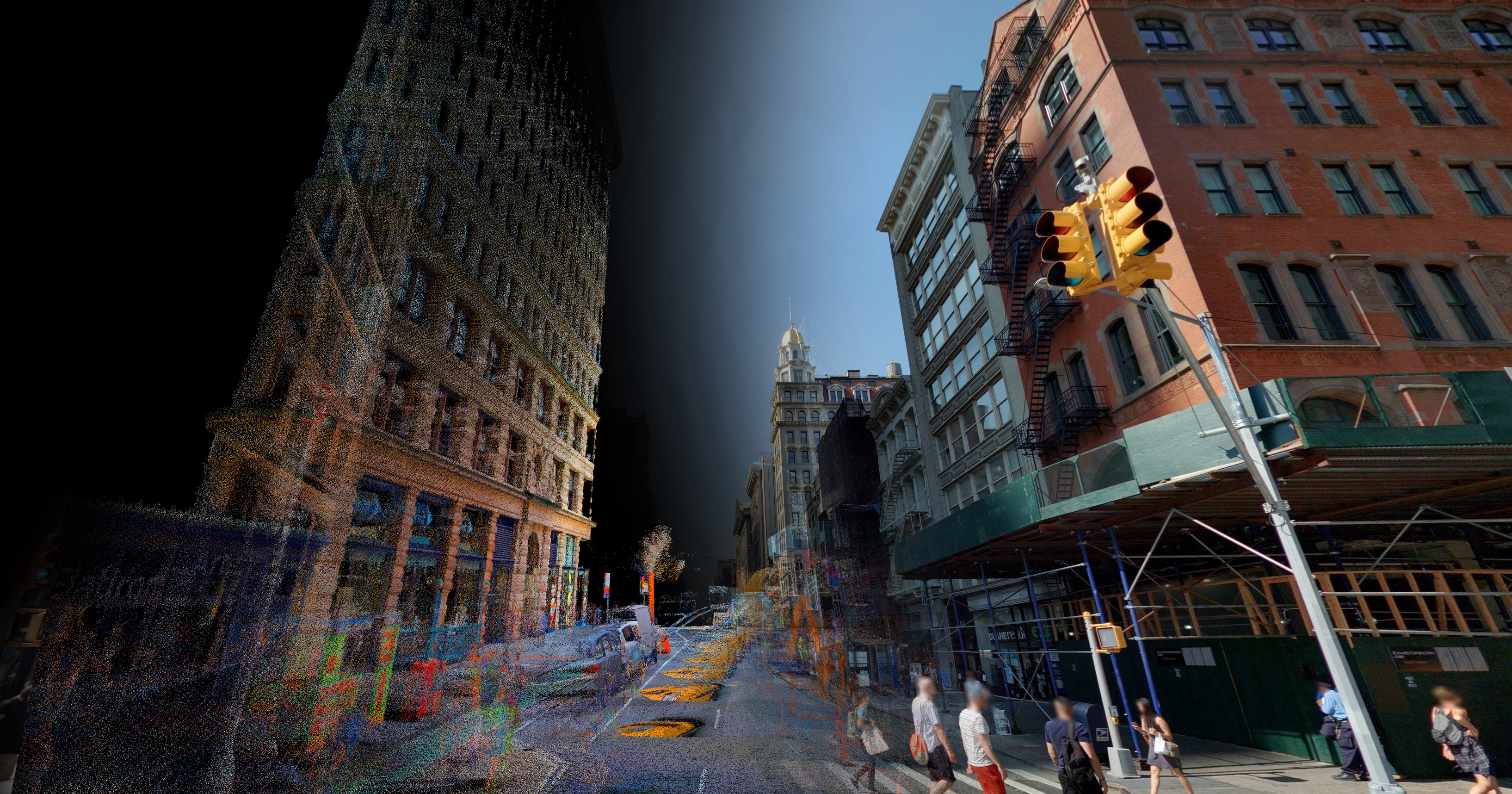
Cyclomedia uses street-level imagery combined with LiDAR data to create a 3D digital twin of any given area, making it possible for you to navigate your city remotely, inspecting and assessing locations without ever physically visiting them. In addition, all assets in public spaces can be identified automatically through the use of AI, providing you with a wealth of information on what you have, what condition it’s in, and its precise location.
Having a digital twin of your city will help prepare your city for the future. This gives you the ability to respond quickly to changing demands and important developments, including population growth, increasing demand for mobility, climate change, the manageability of urban planning, safety, and much more.
More efficient urban planning
A municipality is authorized to grant licenses, exemptions, and supervise & ensure compliance with local regulations. Visual imagery can save your organization countless hours of site visits and deliver high value information and actionable insights for better urban planning.
The ability to remotely view and assess any location from the comfort of your office speeds up processes such as:
- Issuing and enforcing construction permits
- Issuing licenses for driveways, parking and forestry concessions
- Verifying zoning plans
In all these situations, the power of visualization through Cyclomedia’s imagery enables improved efficiency and tangible cost savings by substantially reducing the number of field visits required.
Better management of public spaces and assets
For every single city and municipality, it’s critical to have an up-to-date and reliable overview of all assets in public spaces. The insights derived from our solutions are key to enabling effective management, maintenance, and resource deployment.
Up-to-date imagery and LiDAR point clouds from Cyclomedia allow you to automatically detect all assets in public spaces. We can provide you with a large-scale inventory of targeted community assets and their characteristics. This includes street lighting, traffic signs, trees, fire hydrants, manholes, and much more.
The current state of assets can be remotely assessed, giving you confident insights into where & when maintenance is required. Furthermore, issues with specific assets (e.g. community complaints) can be dealt with more efficiently. For example, an image linked to a community complaint makes it possible to quickly take targeted action, without the need for a preliminary on-site visit.
Cyclomedia’s data can be used enterprise-wide, meaning your entire organization can benefit from our data insights & analytics.
Property Appraisal
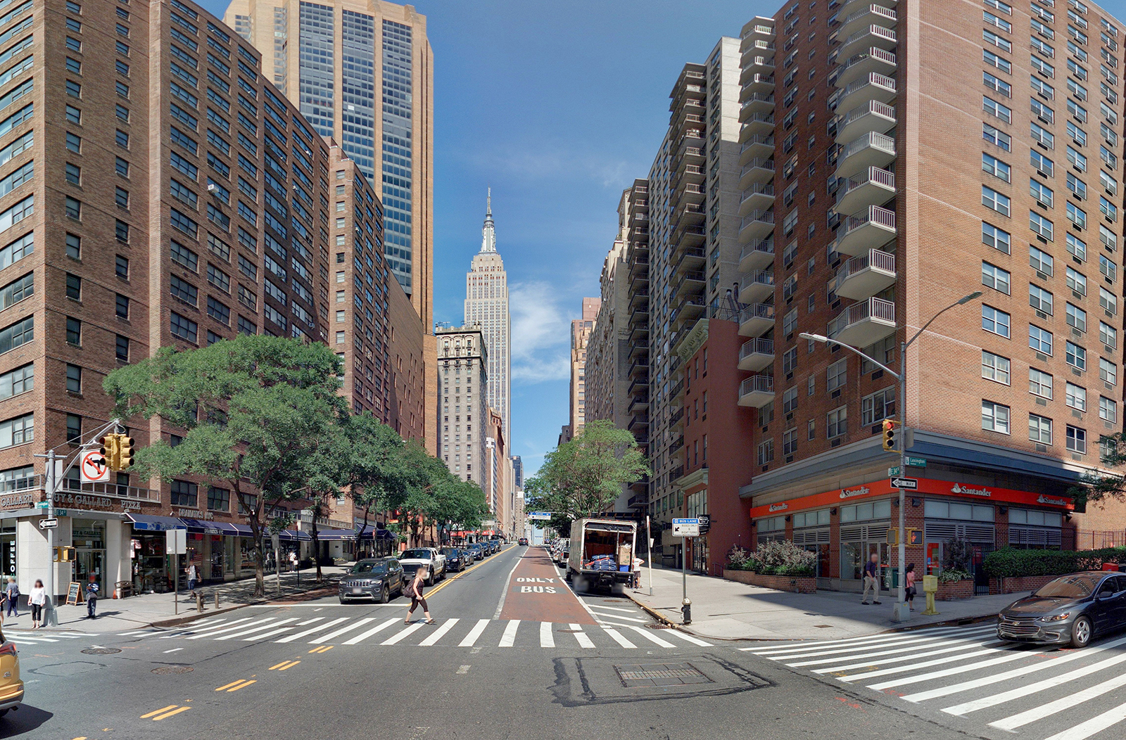
In property appraisal today, the scope of work appraisers cover continues to expand while the growth of staff and resources struggle to keep pace. Performing property reviews is challenging, and property site visits incur transportation and labor costs. They also take up valuable time that could be put to better use. Even then, the most carefully performed on-site property visits are often not 100% accurate, leading to a potential increase in the number of appeals.
Our HD imagery can help you improve your traditional workflow and operate more effectively while meeting and exceeding your community service mission and all recommended industry standards.
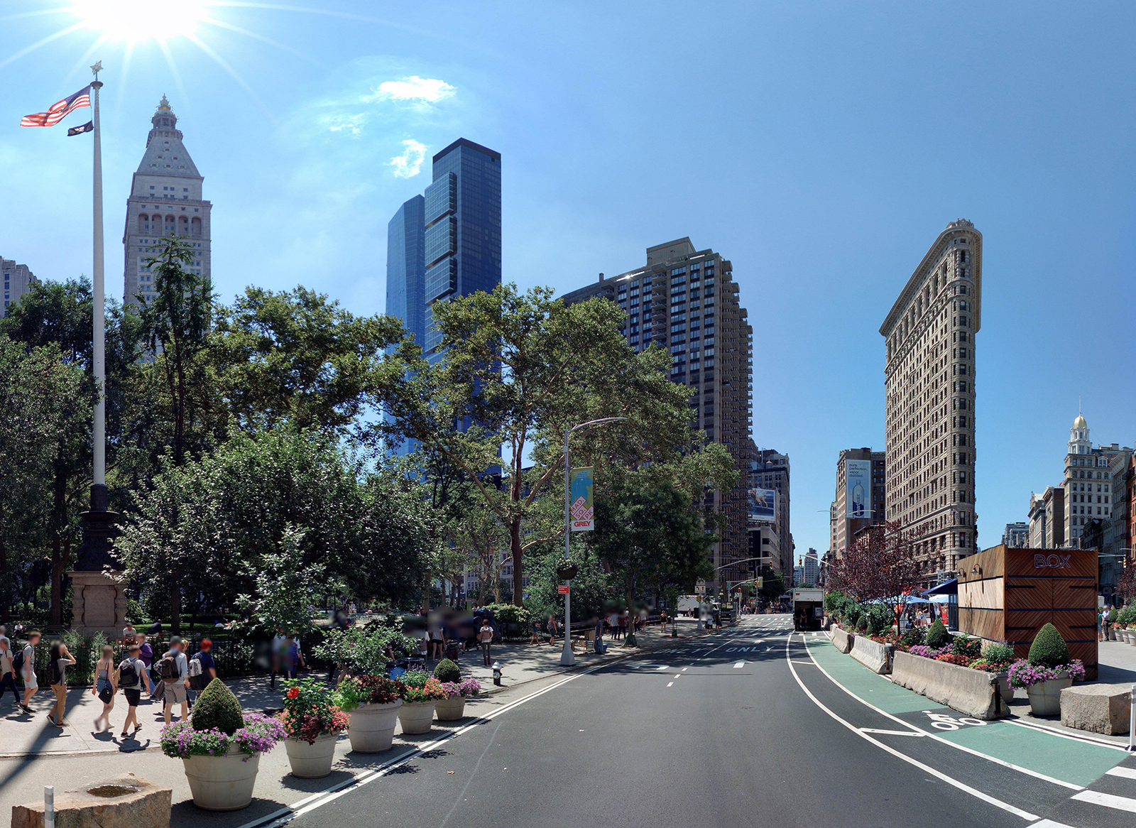
Street-level imagery is an important visual tool for property valuation processes. This includes market analysis, recording of object characteristics, handling of objections, and determining values. Using up-to-date imagery improves the quality and efficiency of these processes, resulting in higher tax revenues and fewer complaints. It also reduces visits to your sites, which in turn reduces costs. Additionally, our measuring tools, accurate within a fraction of an inch, allow you to measure exact distances without having to lift a finger. Our AI-extraction technology will locate potential problem-areas, so you know exactly where issues may arise.
Let's connect!
Public Works
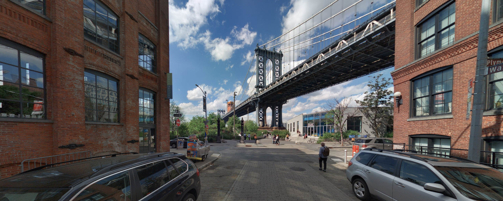
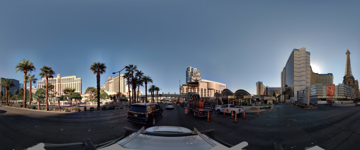
Cyclomedia can help your Public Works organization take on a more direct role in strengthening civic infrastructure. Rather than relying on visual inspections, Public Works teams can make informed decisions remotely by knowing the condition of their assets, staying up to date with compliances and prevent lawsuits from code violations. Departments can collaborate cross-functionally to more effectively solve problems by having access to the same information, enterprise-wide.
By simplifying their processes, Public Works teams can commit more time and energy to preparing for the future, while optimizing service levels in the present.
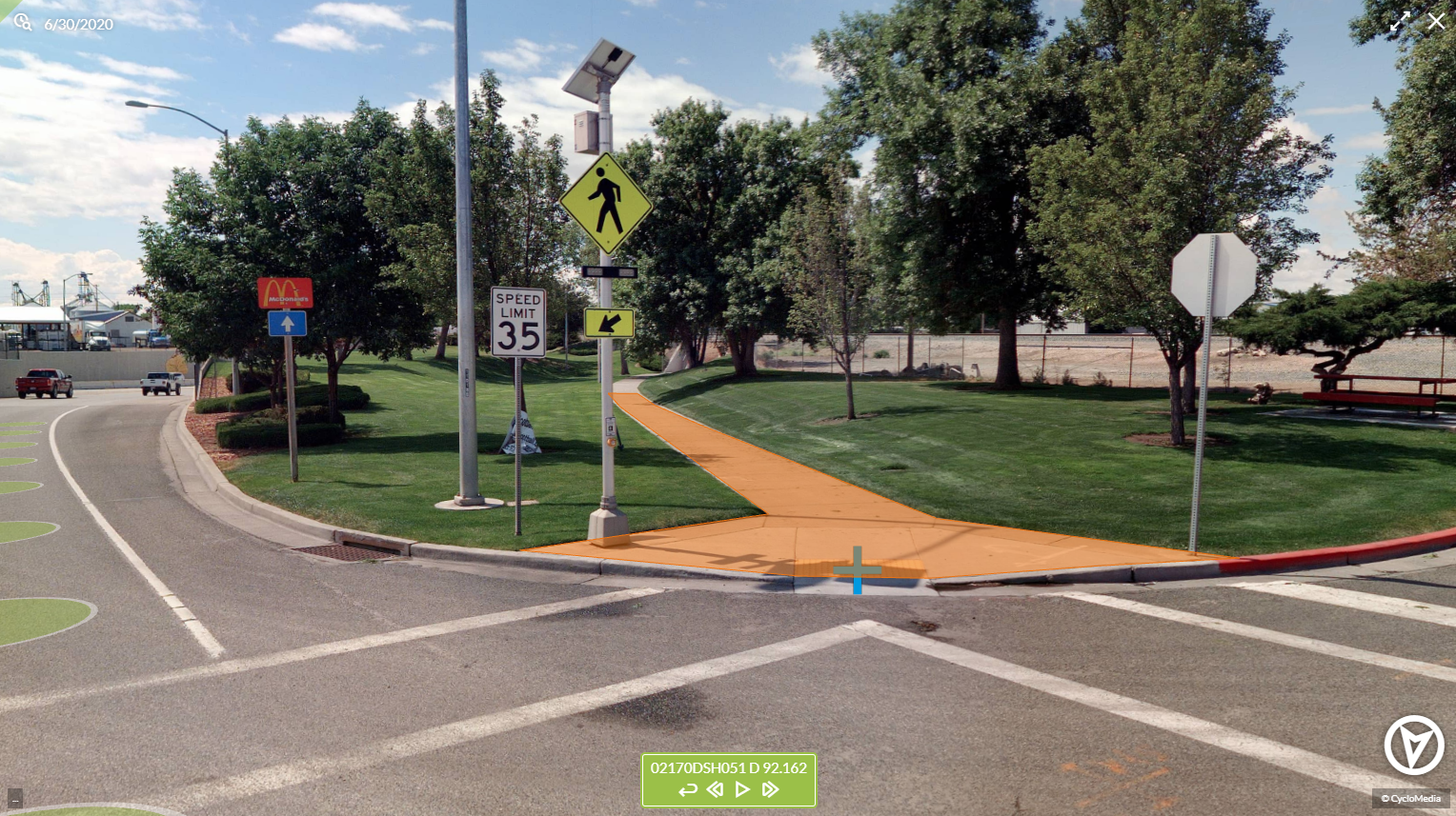
Local governments and companies around the world use Cyclomedia to better visualize neighborhoods, strengthen their data capabilities, and create 3D representations of environments that may be challenging to regularly access otherwise. By providing you with the data you need for on-demand insights into your jurisdiction, Cyclomedia's data makes it easier to assess damages, file insurance claims, involve legal teams, respond to service requests, answer questions and more.
