Roadway safety intelligence for safer road networks
Cyclomedia provides accurate roadway characteristics, safety asset data, 360° imagery, and LiDAR to help agencies assess risk, support federal programs, and plan targeted safety improvements with confidence.


A clear, consistent view of road safety conditions
Agencies need reliable, network‑wide safety information to support SHSP, HSIP, and MIRE requirements. Cyclomedia delivers consistent roadway imagery, LiDAR data, and extracted safety assets—enabling planners and engineers to analyze geometry, signage, pavement markings, and roadside hazards directly from the office.

From reactive responses to proactive roadway risk management
Traditional field inspections and crash‑only analysis cannot provide a full picture of roadway risk. Cyclomedia consolidates roadway characteristics, countermeasures, and safety‑critical attributes so agencies can identify issues earlier, prioritize investments, and deploy evidence‑based improvements across the entire network.
Where roadway safety data delivers impact
Cyclomedia supports state and local transportation agencies with consistent, defensible roadway data for safety planning, federal program compliance, and high‑risk network screening.
Strategic highway safety planning
Use roadway characteristics and safety asset data to inform SHSP development, identify emphasis areas, and guide evidence‑based safety decisions.

HSIP and MIRE program support
Provide complete roadway attributes and safety inventory datasets aligned to federal expectations for HSIP analyses and MIRE reporting.
High‑Risk segment and countermeasure analysis
Screen the network to identify high‑risk segments, evaluate countermeasures, and prioritize improvements using objective roadway and asset data.
Solutions that advance roadway safety programs
Cyclomedia integrates 360° imagery, LiDAR, and extracted safety assets to support risk assessment, countermeasure planning, and network‑wide safety evaluations.
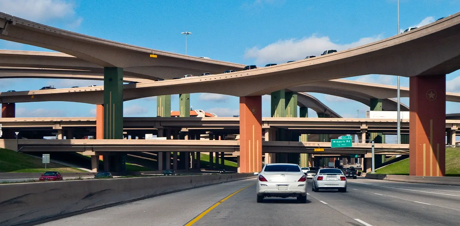
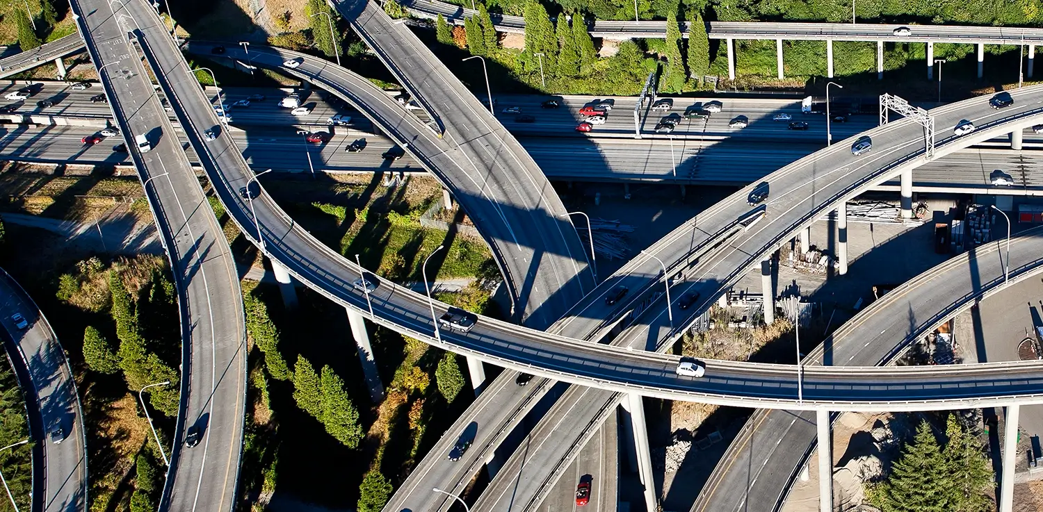
Roadway imagery
High‑resolution 360° imagery provides clear views of lanes, intersections, shoulders, and roadside features for safer, faster assessments.
LiDAR point cloud
Street‑level LiDAR enables accurate measurements and supports analysis of grade, cross slope, clear zone, and roadway geometry.
Safety asset inventory
Maintain a complete inventory of signs, markings, guardrails, terminals, and other safety assets to support planning and compliance.
Curve & grade
Access consistent geometric attributes—curve radius, grade, and slope—to support roadway design reviews and network screening.
Traffic Signs & markings
Evaluate condition and presence of traffic signs and pavement markings to prioritize maintenance and improve safety visibility.
Intersections & lanes
Understand lane configurations, intersection characteristics, and alignment details to assess operational risk factors.
Countermeasure support
Use consistent roadway data to assess countermeasure needs, compare alternatives, and document improvement rationale.
Network‑wide screening
Identify candidate locations for safety projects using roadway attributes and asset data instead of manual field surveys.
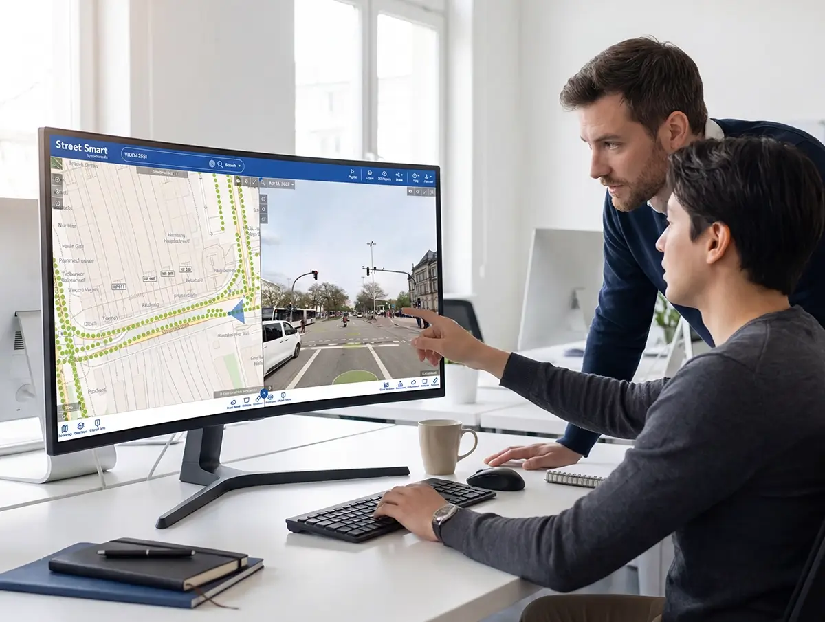
Street Smart integration
Access all imagery, LiDAR, and safety data in the Cyclomedia Street Smart platform for collaborative evaluation and measurement.