Blog | 08 February 2024
Smart Cities Blog Series- Public Safety
Public Safety organizations are at the core of keeping citizens safe and their wellbeing protected. From 911 phone operators to law enforcement officers, each moving part of these organizations responds to emergencies and issues to keep everyone safe. But what happens when they simply do not have enough resources to efficiently respond to calls? With rapidly growing cities, decreasing budgets and a workforce that is not increasing at the same rate, it can be difficult for Public Safety organizations to navigate their environment in a timely manner–this is where Cyclomedia’s Smart City solutions can help.
Smart Cities play a significant role in enhancing public safety through various technological innovations and urban management strategies. Public Safety in Smart Cities involves leveraging advanced technologies and data-driven approaches to enhance emergency response through environmental monitoring. By integrating these elements, they aim to create safer and more secure environments for their residents. So, what innovative technologies can be leveraged, and what issues do they aim to solve?
Location, location, location
The first question a 911 operator will ask a caller is the address of the emergency. Knowing the location where an emergency is occurring is the most vital key to fast response times. However, oftentimes callers either do not know their address, or the environment around the address presents certain issues that can prevent responders from accessing it, such as new structures or hazards. Outdated location data, or no location data at all, can lead to difficulties when responding to emergency situations. Because of this, it is vital that Public Safety organizations have up-to-date, thorough, and accurate location information within their jurisdiction.
Although having location and asset data is extremely important to emergency personnel, it is not always that easy. The environment outside is constantly changing, and there are not enough people nor funds to keep track of every location within a jurisdiction–this is where Cyclomedia steps in. Cyclomedia’s street-level imagery combined with LiDAR data gives organizations the precise just-in-time data and situational awareness they need to respond.
A promising solution
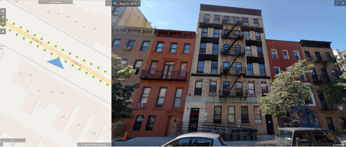
When callers are unable to clearly articulate their location, significant challenges are presented for dispatchers at Public Safety Answering Points (PSAPs), who rely on accurate location information to coordinate emergency responses effectively. Cyclomedia’s GIS-driven solutions can provide that missing link. By providing PSAP personnel with detailed visual information about the caller's location, such as street views or building layouts, Cyclomedia enables dispatchers to accurately pinpoint the caller's whereabouts and relay this information to first responders. Callers in distress who do not know their exact location can describe their surroundings to a PSAP, who, using Cyclomedia’s data either through our Street-Smart user platform or any of our integrations, can use those details to identify a location to send personnel. Detailed asset data combined with imagery makes finding a location without an exact address possible.

Not only does Cyclomedia’s solution assist PSAPs in locating callers, but it also allows first responders to be prepared for unexpected hazards or obstructions once they arrive on scene. For example, if there are residents in a building with special needs who need assistance during an evacuation, imagery and data can help first responders determine whether or not their building is handicap accessible. Or, if there are no visible address markings nearby, PSAPs may use our imagery to describe to personnel which building they must enter. Details like these are critical for fire and police calls, situational awareness, and events.

Visit our Public Safety page to learn more
Know where you go
Tactical and strategic planning are essential components of emergency response operations for both fire and police departments. Having access to comprehensive information about the geographical terrain, infrastructure, and potential hazards in an area enables responders to prepare adequately for various scenarios and respond more efficiently to emergencies as they unfold. By leveraging tools like Cyclomedia for pre-incident planning, emergency responders can better anticipate challenges, identify resources, and develop effective response strategies, while enhancing public safety and minimizing the impact of unforeseen events.
By leveraging emerging and advanced technologies and data-driven solutions to improve the quality of life for their residents, cities worldwide are rapidly becoming “Smart Cities”. And, with Public Safety organizations being at the center of constituent’s wellbeing, it is crucial that these technologies are adopted to aid in emergency response–do not wait until it is too late!
