Cities & Government
Nowadays, all cities face the same challenges. It’s complex and has many moving parts. Infrastructure, public transportation, housing, construction and sustainability. All of these elements need to be factored into your daily business activities.
This task can be overwhelming, that’s where you need to take your first step towards becoming a smart city: getting an overview. Adding a layer of data gives you a clear understanding of the components that make up your city. Insights that you can use to improve your city for all citizens.
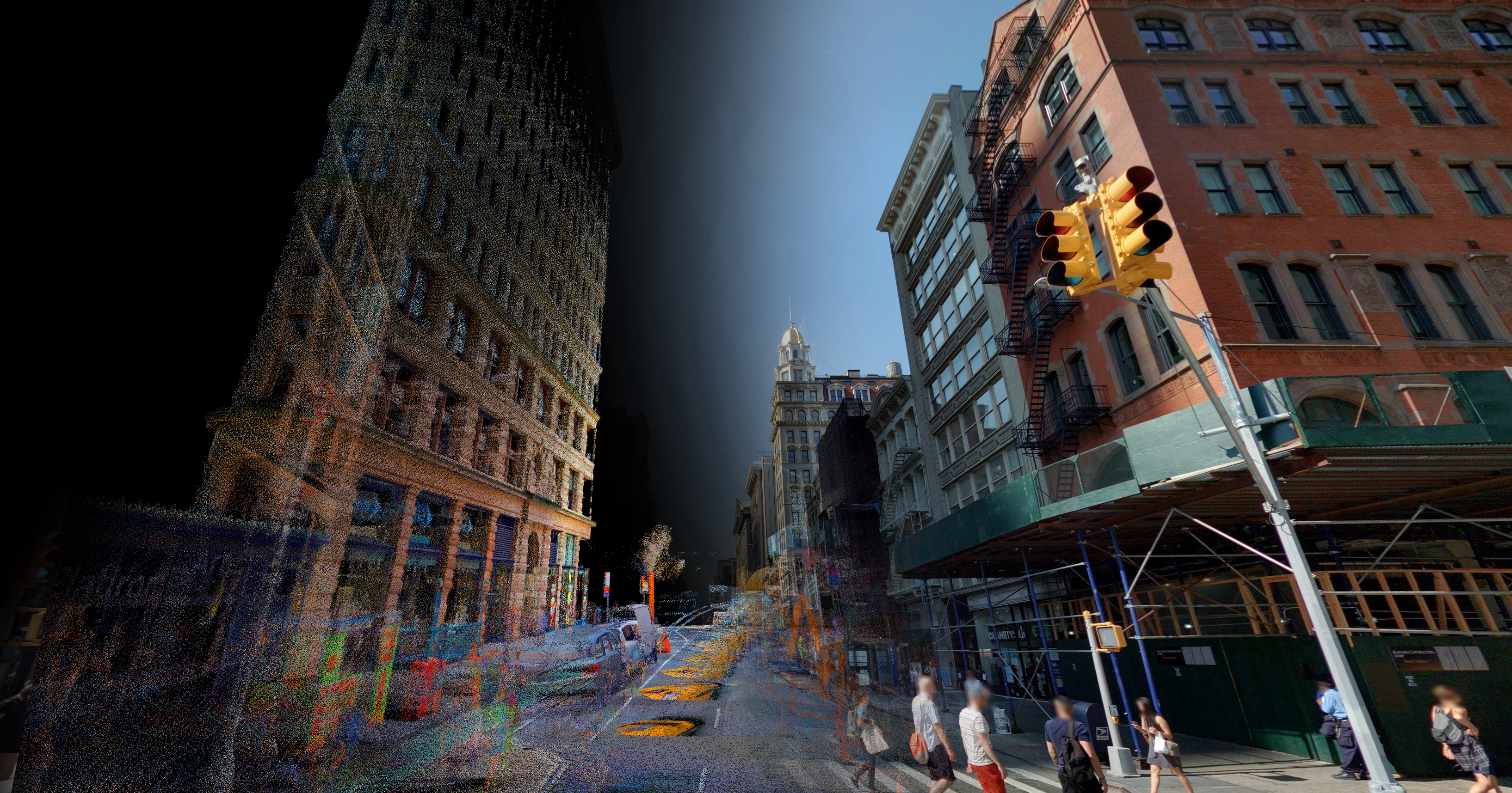
Cyclomedia provides street level data and creates a digital twin of your city. Making it possible to digitally navigate through your city, inspecting and assessing locations without physically visiting them. In addition, all assets in public spaces can be identified automatically, providing a wealth of information.
The digital twin of your city will help you prepare for the future. You’ll be able to respond quickly to changing demands and important developments that have a big impact on your city. Including population growth, increasing demand for mobility, climate change, the manageability of urban planning and safety.

Street level imagery is an important visual tool for property valuation processes. this includes market analysis, recording of object characteristics, handling of objections and determining the value. Using up-to-date imagery improves the quality and efficiency of these processes. You can assess the value of real estate more accurately, resulting in higher tax revenues and fewer complaints. It also reduces visits to your sites, which in turn considerably reduces costs. And where an on-site visit still is required: it’s also more qualitative and efficient.
Efficient urban planning
The municipality is authorized to grant licenses, exemptions and supervise compliance to various legislative acts. Visual imagery can save you and your colleagues countless hours outside and can deliver a lot of usable information for urban planning.
You can remotely view and assess a situation online. This helps you with:
- Assessing potential sites for development
- Issuing and enforcing construction permits
- Identifying unlicensed HMO (houses in multiple occupation)
- Discovering other unsanctioned change of use and building works
- Issuing licenses for driveway, parking and logging concessions
- Identifying & measuring advertising billboards that attract business rates to ensure compliance
- The assessment of welfare aspects
In all these processes, the imagery data offers important actual visual support. Efficiency is improved and cost reductions realized because substantially fewer on-site visits are required.
Management of public space
For every single city and municipality, it’s important to have an up-to-date and reliable overview of all assets in public space. Having these insights is key to carrying out effective management and maintenance and to determine the required budget.
Up-to-date imagery and point clouds from Cyclomedia allow you to automatically or manually detect all assets in public spaces. Enabling a large-scale inventory of desired objects and building a complete database of assets and their characteristics. This includes street lighting, traffic signs, advertising, trees, bus shelters, manholes, etc.
The actual state of assets can be remotely assessed, giving you an insight into where and when maintenance is required. Furthermore, complaints about certain assets can be dealt with more quickly and efficiently. An image linked to the complaint makes it possible to quickly undertake focused action, without a preliminary on-site visit being required.
Trees & vegetation

Data Insights can automatically build an inventory of the trees i your city including attributes such as height and width. This inventory enables you to:
- Create a risk assessments of trees in public spaces
- Complete condition surveys of trees from the desk
- Identify and prioritise works for vegetation encroachment onto roads and pavements
- TPO data overlayed to show proximity to planned building works
Tax assessment

The annual valuation of properties, the interrelated processes and tight turnarounds to execute projects mean that cities and municipalities have to plan several years ahead. These days, it’s more important than ever to carry out the various processes efficiently. The use of imagery plays an extremely important role in this. At a glance, you can see an object's current status, maintenance needs and its environment. The usage of recent and accurate imagery is therefore strongly recommended by the Property Assessment Board.
