Blog | 22 July 2020
Remote appraisal of real property during a pandemic
The current COVID-19 pandemic has made all of us start thinking and working differently than we used to just months ago. Even before COVID-19, people said that the needs of Assessors were continuing to expand while the number of staff and resources weren’t keeping pace. The use of technology to meet these needs in a more efficient, safe, and cost-effective manner is more important than ever. Municipal departments have continued to use, and in many cases have increased their usage of, Cyclomedia’s services to remotely perform property inspections. High-definition street-level imagery available to you today can help you change your traditional workflow while meeting and exceeding all recommended industry standards. Cyclomedia’s GeoCycloramas™ are 360° panoramic images that allow you to view grade, condition and neighborhood influences to ensure that all taxpayers are treated in a fair and equitable manner.

IAAO Standard on Mass Appraisal of Real Property
In 2002, the IAAO fully revised their Standard on Mass Appraisal of Real Property and completed their latest revision in 2013. Working for an oblique aerial imagery vendor at the time, I was glad to see that one of the last revisions include a section on the use of imagery. Since then, I have presented numerous papers on the benefits, efficiencies, cost-savings/ROI and even staff safety of 3.3.5 Alternative to Periodic On-site Inspections (revised in 2012) at conferences in North America, Canada and Europe. These presentations have usually been with Assessors from jurisdictions and densities of all sizes, in rural and deeply urban areas, and have gone as far as comparing the carbon footprint of collecting imagery to the ability to complete more work in a shorter amount of time. Section 3.3.5 Alternative to Periodic On-site Inspections states “…. jurisdictions may employ a set of digital imaging technology tools to supplement field re-inspections with a computer-assisted office review.” There was a focus on several key points:
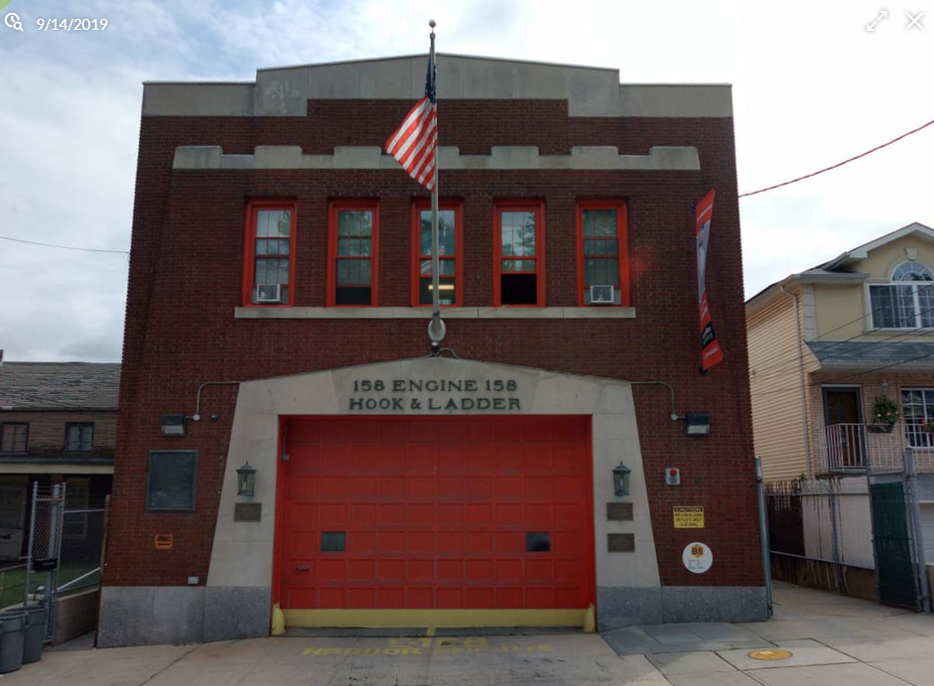
- “Current high-resolution street-view images (at a sub-inch pixel resolution that enables quality grade and physical condition to be verified)”

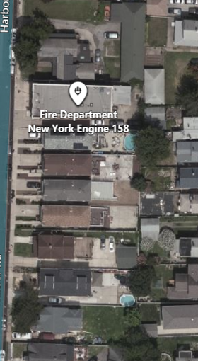
Aerial Orthophoto of the same fire station. (Source: Bing)
- “Orthophoto images (minimum 6” pixel resolution in urban/suburban and 12” resolution in rural areas, updated every 2 years in rapid growth areas, or 6–10 years in slow growth areas).”
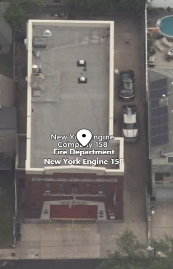
Aerial Orthophoto of the same fire station. (Source: Bing)
- “Low level oblique images capable of being used for measurement verification (four cardinal directions, minimum 6-inch pixel resolution in urban/suburban and 12-inch pixel resolution in rural areas, updated every 2 years in rapid growth areas or, 6–10 years in slow growth areas)”
I believed at the time, and still do today now that I work for the industry-leading street-view imagery company, that these tools are complimentary, and, when used together, are a safe and viable alternative to field inspections.
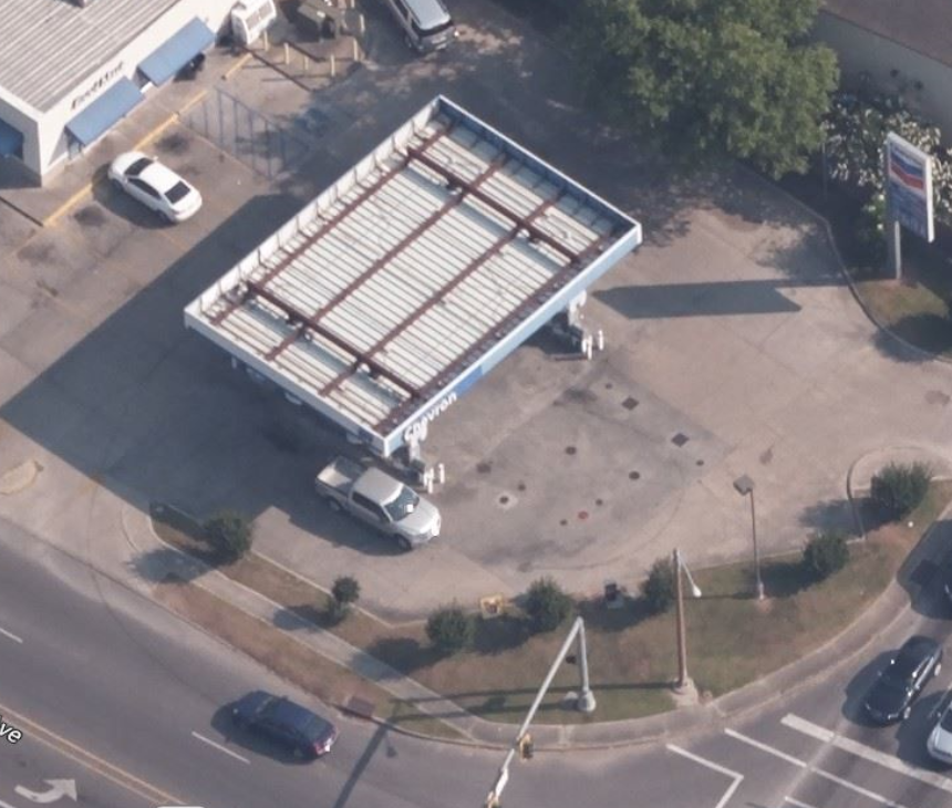
High Resolution Oblique (Source: Bing)
Planning for the Future
When will we be able to go back to the way things were? Nobody knows for sure. This is time to start planning for the “New Now.” Engage with other Departments to see how cost sharing and project planning can deliver the tools that you need for whatever the future holds.
Talk to your industry peers and see how they are utilizing HD street-view imagery to determine grade and condition. Look closely at combining high resolution street-level imagery with aerial obliques/orthophotography. There will be times when there is a locked gate and street-view imagery is unavailable—utilize obliques that allow you to peer into the backyard. Measure the front and sides with HD street-view imagery.
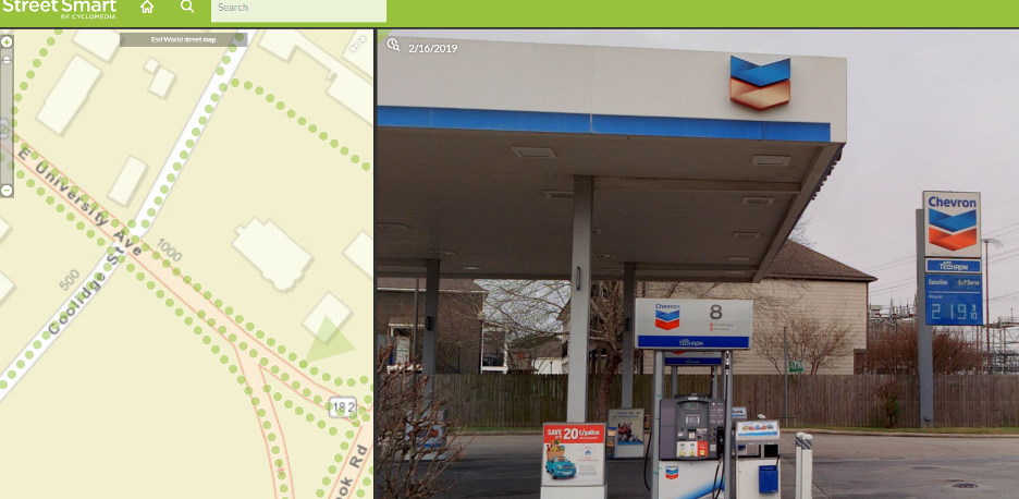
GeoCyclorama™ of the same location provides a visual of the area blocked in the oblique.
Stay informed
Stay safe; stay healthy.
Alexander Hepp, Director of Assessment