News | 15 July 2023
PRESS RELEASE: Cyclomedia collects data and imagery for the City of New Orleans
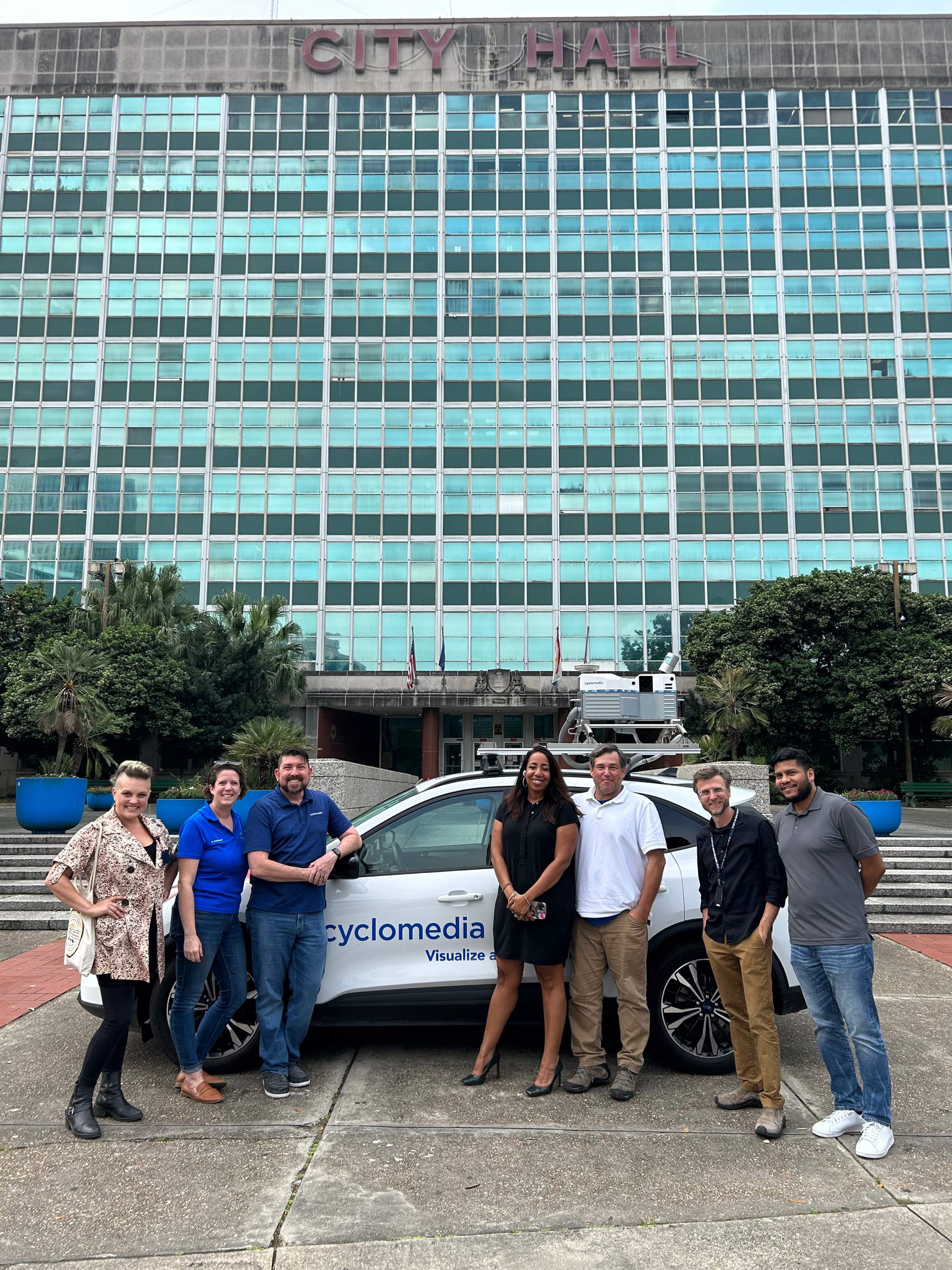
Cyclomedia is proud to announce that it has completed the collection and delivery of data for the City of New Orleans, LA after winning the RFP in November of 2022. This contract was officially signed this April, and since then Cyclomedia has finished driving and performing data extraction analytics on the entirety of the city’s roadways.
Cyclomedia’s GIS-Driven solutions, used internationally by local governments, provide a realistic and spatially accurate model of any given area. They extract analytics from the data collected to create an asset inventory including the condition of each individual asset. The current contract includes one drive.
Around 2,000 miles of New Orleans roadways were driven by Cyclomedia’s collection vehicles, which captured both imagery and LiDAR data to create a 3D Digital Twin of the city. The data was then analyzed using AI-powered algorithms which identified and categorized certain asset types determined by the contract. Cyclomedia has delivered information on 20 asset types, such as:
- Water valves
- ADA Ramps
- Storm Drains
- Fire Hydrants
- Pavement Messages
- Sign Faces

“New Orleans, Louisiana is one of the most beautiful and historic cities in the United States. It’s unique architectural style and record number of historic districts gives the area a one-of-a-kind aesthetic appeal, which has made this City a pleasure to work in. At Cyclomedia, we embraced the challenges that came with data extraction in a unique area like this, such as narrow cobblestone streets and stylized street signs. Cyclomedia is proud of the work we have done for the City thus far and we are excited to continue delivering customized data solutions to the City of New Orleans.”
– Taylor Tieche, Cyclomedia Account Executive
The City of New Orleans will use the information and data sets to learn more about the condition of their sidewalks to identify potential issues for pedestrian assets, such as trip hazards. They will also use it to learn more about their city’s pavement condition and focus resurfacing efforts on critical areas. City employees can access the data from behind their desktop, eliminating unnecessary field visits and helping them get their job done quickly and efficiently.
