Infrastructure
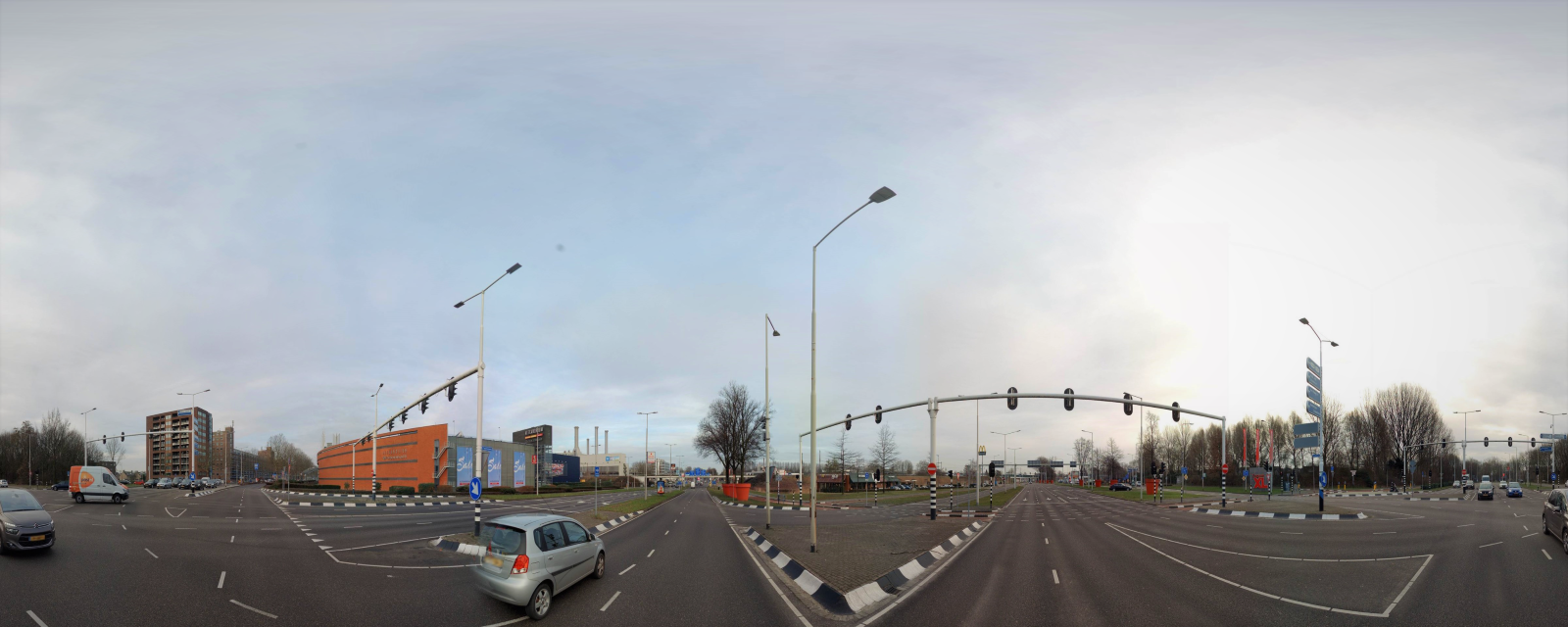
Cyclomedia's up-to-date imagery means you can reduce the number of site visits and limit the risk of costs overrun. How? By giving you a clear understanding of the immediate surroundings of your project beforehand. Save time and improving the quality of your work preparation.
Asset management is an important part of your infrastructure project processes. Cyclomedia offers the right tools to make a large-scale inventory of various outdoor objects, in an extremely cost-effective way.
Better understanding of an RFP's Scope of Work

When submitting a request for proposal (RFP) response it’s essential to accurately estimate the scope of work requirements. Cyclomedia's imagery data gives insights into the current situation, allowing you make an accurate estimation of the effort required, the possible complications of the site, and the costs involved in the project. This directly improves the accuracy and responsiveness of your proposal..
Identify objects in public space for effective asset management
Efficient management and maintenance of all outdoor assets requires consistent registration of the location and quality. Cyclomedia's imagery data enables you to make an inventory of objects in public space. This inventory can be largely automated, detecting objects in the imagery. This enables you to carry out a large-scale inventory of desired objects in a cost-effective manner.
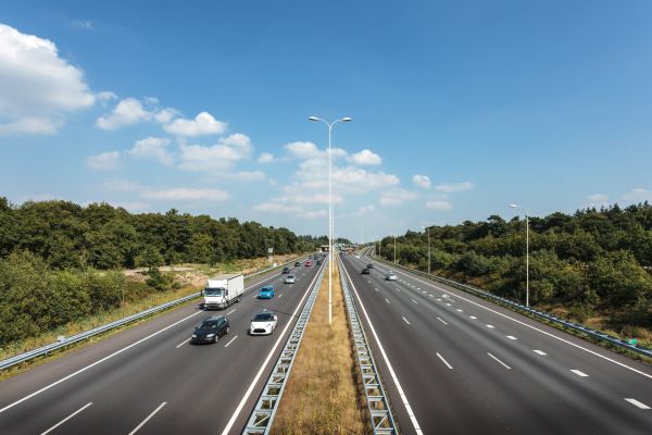
Think for example of public lighting, traffic signs, road markings, trees, etc. You can build up an up-to-date database of all relevant assets that require maintenance. By linking the database to your GIS system, you have all the information available in one place.
Effective road inspection

Timely maintenance increases traffic safety. With Cyclomedia imagery data you can inspect an area quickly and efficiently from your computer, without having to visit the site. You can also gather information about the area and identify defects on the basis of current and historic footage. Not having to physically inspect the roadside is much safer and there is no disruption to traffic.
Cyclomedia can carry out a baseline measurement at any given time, to get a picture of the entire area. Through effective inventory of the maintenance status of the area, you can improve the management and maintenance processes. Damage or wear can be assessed and classified using the imagery and LiDAR data.
Prevent costs overruns with efficient work preparation
Tight margins in the construction business mean accurate cost calculations are essential to reducing cost overruns. Cyclomedia's imagery data allows your site visits to be efficient by reducing unnecessary visits. A clear insight into public spaces will allow you to make a well-informed risk assessment and cost calculation.
You will improve the quality of your project preparation. Using supporting imagery directly improves project preparation quality, ensuring clear and unified communication with all parties involved.
