World leading cities use visual Smart Mobility Data to plan, measure and maintain their infrastructure
Get precise and accurate visual data with Cyclomedia's Smart Mobility solutions.
Your guide to Smart Mobility
Smart mobility data is changing in how we improve smart city programs. With the right mobility initiatives and technology your city’s liveabilty score can be positively influenced. Find out how the world’s most highly desirable cities invest in improving their liveability and how mobility data is essential to their success. The content below will help you gain an understanding of what you need to get started when it comes to making data-driven decisions around your mobility programs and initiatives.
Would you like to see how Cyclomedia’s visual data and analytics can help you?
Smart Mobility resources
Explore data insights to create a better world tomorrow

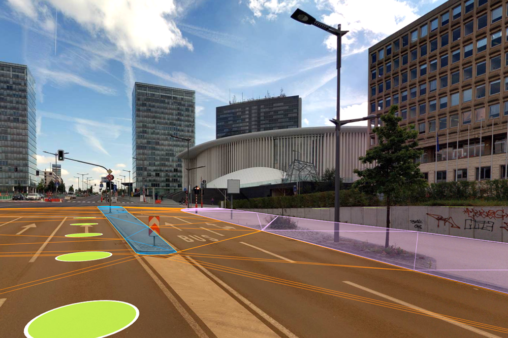
By using Artificial Intelligence, assets can be automatically detected in images and point clouds. Through automated extraction you can quickly and cost-effectively build up a valuable database with the data of all assets in your city, such as street lights, traffic signs, trees, manhole covers, and bus stops. Insights that enable you to improve the mobility in your city and create a better world tomorrow. Learn more...
Street Smart

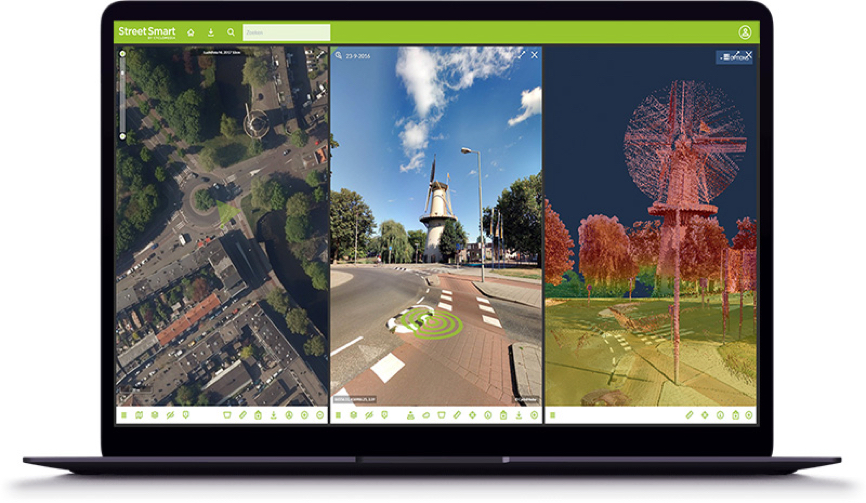
Street Smart is the interactive web viewer for all Cyclomedia content: cycloramas, aerial imagery and point clouds. The user-friendly interface enables fast and easy access to all our data. This includes recent as well as historic data. Among the many other functions, it also includes several data layers and our “Measure Smart” feature. This makes measuring in our cycloramas both fast and easy.
Street Smart can be used “stand-alone” or within the framework of other existing GIS systems, by using our Street Smart API. Learn more
Every day they the Cyclomedia data provide an important basis for planning and decision-making in our work


