Cycloramas
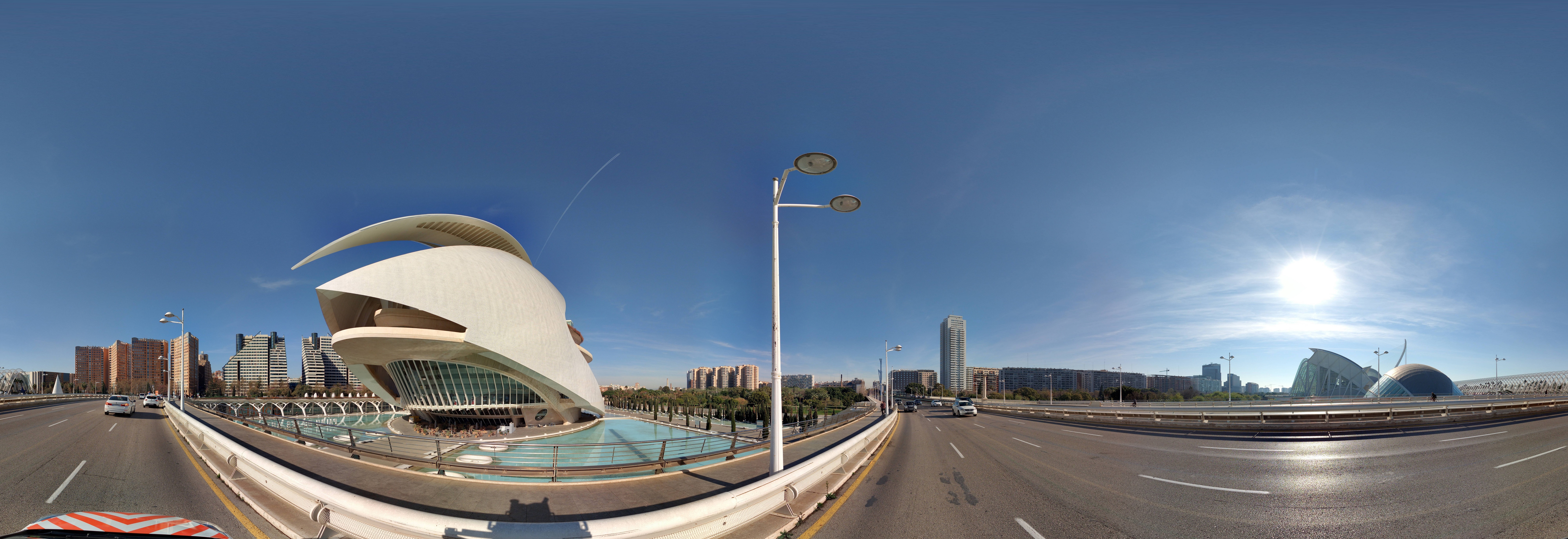
A Cyclorama is a 360° panoramic photograph with an ultra-high resolution. They provide a reliable and objective digital view of public spaces from street level. The high quality and resolution provides users with the clarity to see details like house numbers, infrastructure characteristics and the condition of assets and real estate. All can be viewed, assessed and analysed without having to go to the actual location.

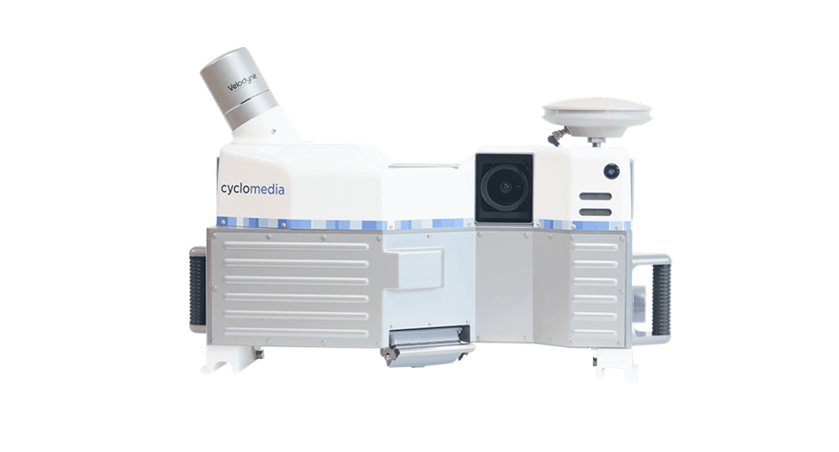
Thanks to the unique camera and patented processing techniques, Cycloramas are metrically correct, with precise location and orientation information built in (geo-referencing).
This enables precise measuring. Cycloramas are captured systematically and on a large scale. They are taken at intervals of five metres (16.4 ft) on all public roads accessible by vehicle.
The system captures five individual RAW images per recording location. These individual images are “stitched” together into one parallax-free Cyclorama.
Cycloramas in themselves or in combination with other geographical and administrative data (provided by Cyclomedia or user), can be an essential source of information for many work processes in government and business. The positional accuracy of Cycloramas means that users can display existing data layers directly on the images, for viewing or editing.
Cycloramas are managed in Cyclomedia’s online database, a web-based platform. This database can be accessed via Street Smart as a service solution.
