Blog | 28 July 2023
How Surface Types is of value to KPN in fiber deployment
The trigger
KPN is a provider of telecommunications and ICT services, offering consumers fixed and mobile telephony, Internet and television. They are also responsible for building and managing the network for Internet, television and telephony.
Never before has the rollout of fiber been so rapid. The demand for reliable and easy-to-use data is therefore growing rapidly. Together with KPN, VWT and Allinq, Cyclomedia has developed a data layer that gives you fast, simple and accurate insight into where which type of pavement is located in the Netherlands.
In fact, there was a need for more information on pavement type than was currently available. KPN was already using Cyclomedia's image data, but was (however beautiful the image data is) more interested in the information that could be seen on this image data than the images themselves when it came to designing fiber optic networks.
Good to know
What is KPN's current practice?
- Currently, they rely on the government's basic registry as a data source for automated coverage type determination. However, following this approach, they encounter several challenges. Primarily, the data lacks consistency, making it unreliable, and its quality falls short, causing us to overlook crucial details. Consequently, this poses a significant bottleneck when attempting to automate network design.
- Manual determination of cover type is also conducted; however, this process is highly labor-intensive and comes at the cost of continuity and quality. The variability arises because each individual may interpret the images differently, thereby increasing the likelihood of errors.
Good to know
About Surface Types
The product
The Surface Types product is basically a combination of different data layers. Cyclomedia already has an enormous amount of images of every street in the Netherlands, so this forms an important source for what Surface Types eventually became. We also thoroughly studied exceptions such as greenbelts and gardens.
This creates an instant, off the shelf data layer that allows you to assign the correct cover to your gully with at least 90% certainty.
A powerful combination
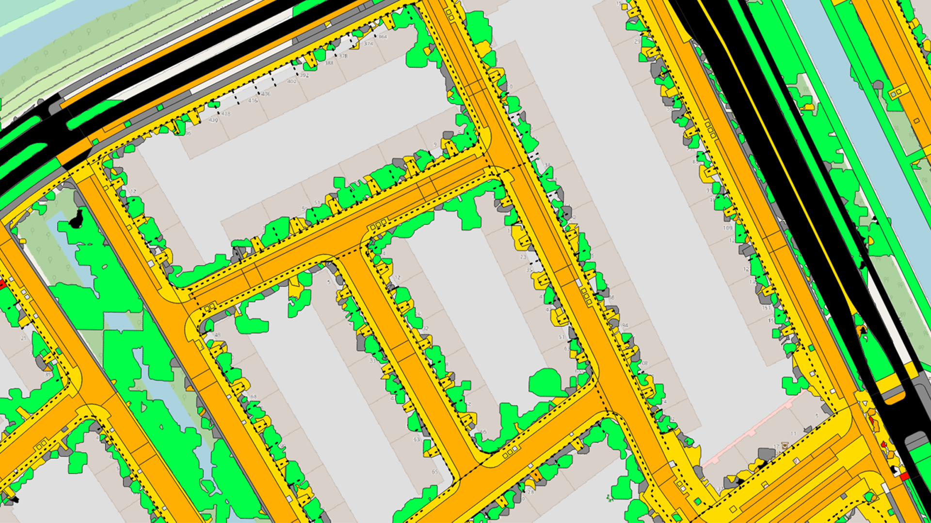
By ultimately combining different data with each other, Surface Types is an indispensable link to design networks as efficiently as possible. The dotted line (as seen in the image) is the trench where the cable will be laid, the colored areas indicate the coverage.
This combination forms the basis of the design and provides an incredibly good estimate of the costs involved in constructing such a network.

For who?
The data layer has added value not only when it comes to laying fiber optics, but also other utility products such as water and power. What does Surface Types help with?
- Route study when constructing networks
- Determination of route construction
- Free space for assets
Good to know
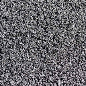
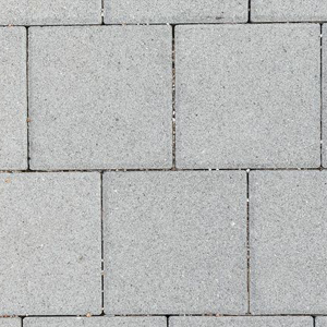
What type of paving is part of the data?
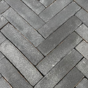
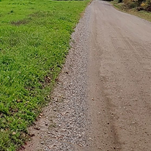
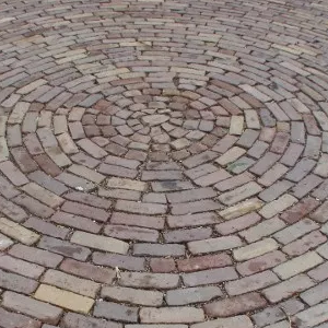
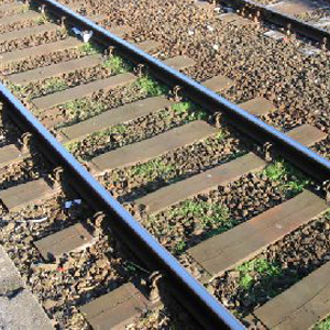
Good to know
Where is this data available?
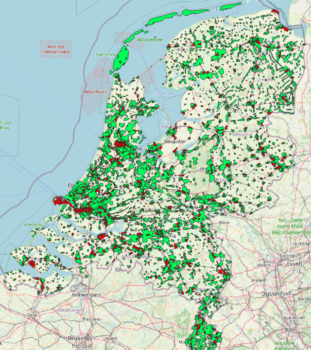
In the example of The Netherlands, the data is available throughout the whole country in places where it adds value for groundworkers.
- All neighborhoods in the Netherlands with an address density of more than 200 addresses
- All business areas
- Updated annually
There is nothing better than making consistent data work in an algorithm and applying automation to it"
- Flip van der Valk, Director at The People Group
Good to know
How to use the data in combination with designing a network?
Everything comes together in The People Group's GeoFiber software. This application automatically generates a network design and contains all the necessary data. Surface Types from Cyclomedia is essential in this.
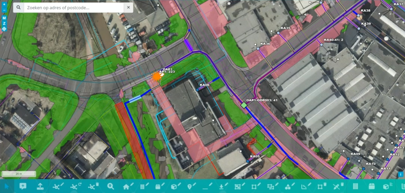
In GeoFiber, you can precisely determine the specific pavement type that needs to be excavated for laying the network. This ensures that there are no unexpected surprises and eliminates any margin of error, leading to highly accurate results. As a result, this significantly benefits the project by reducing costs and saving time.
The image on the right illustrates the designed network, along with the corresponding pavement types represented by colored areas.
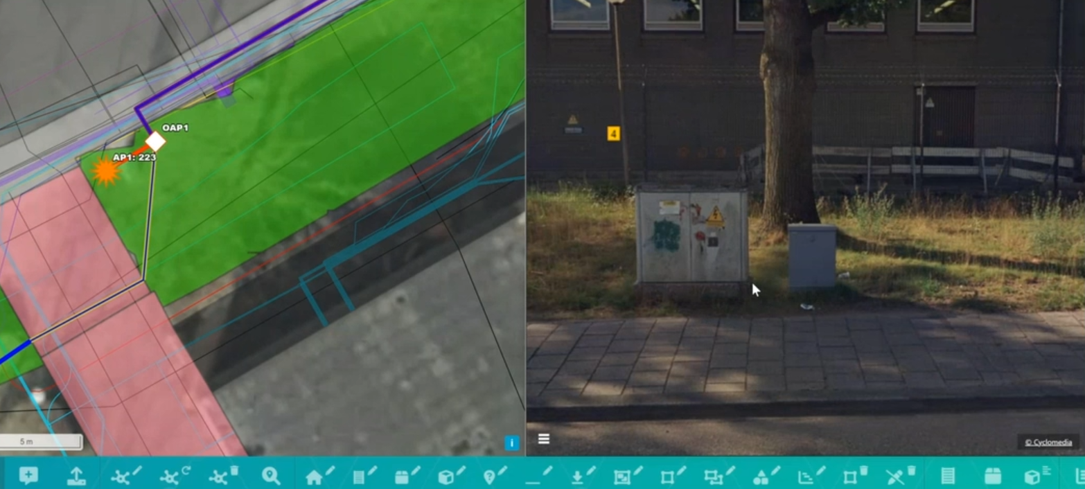
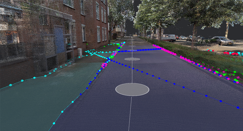
You can further explore your surroundings through the integration of Cyclomedia's Street Smart application. This feature allows you to gain additional context from street-level views, which proves highly beneficial, especially when applying for a permit.
For instance, in the image on the left, a cabinet is already visible, increasing the likelihood of obtaining an additional permit.