News | 17 November 2020
Acquisition Aerial Data 2020 in The Netherlands
Successfully completed
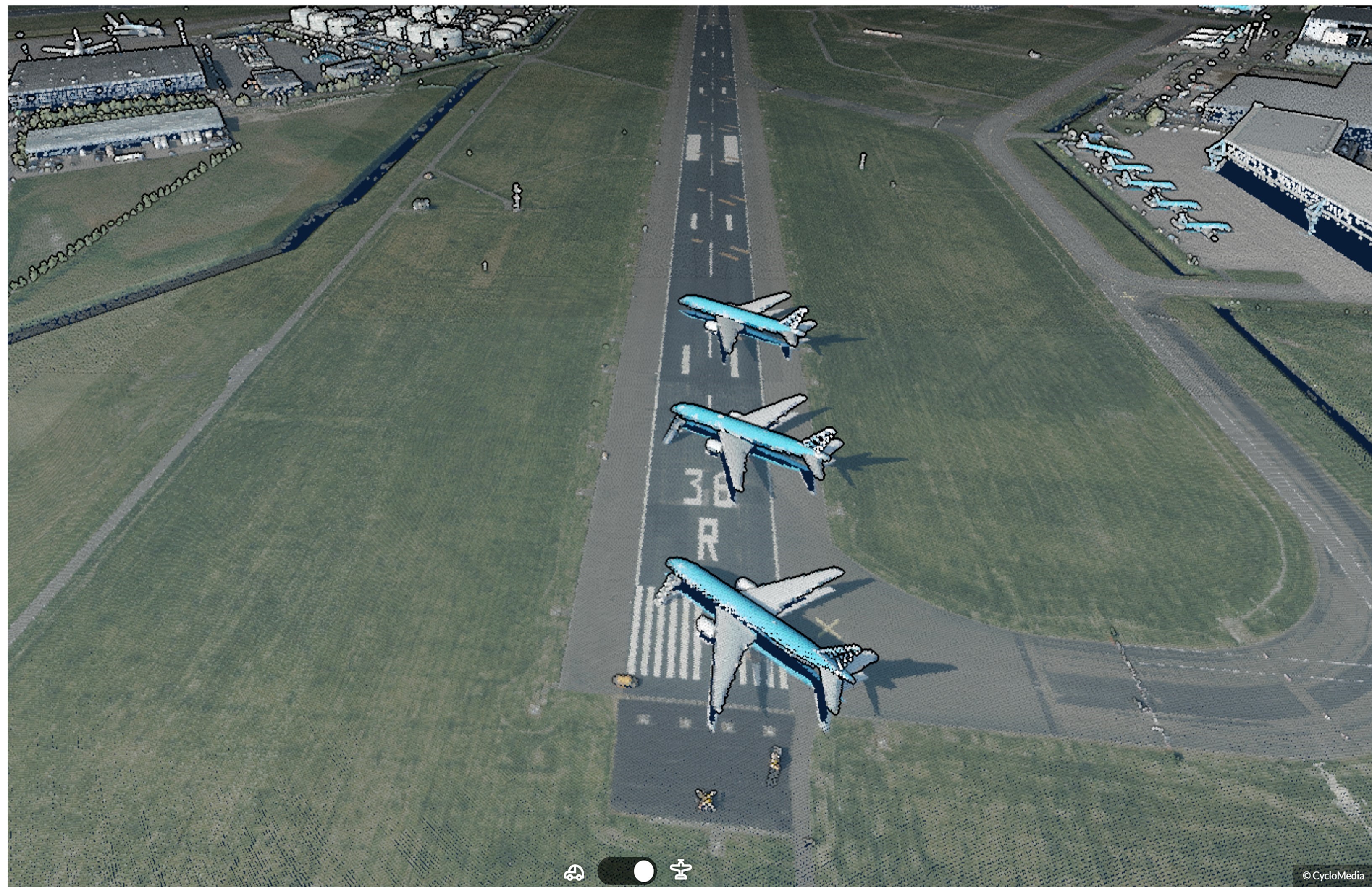
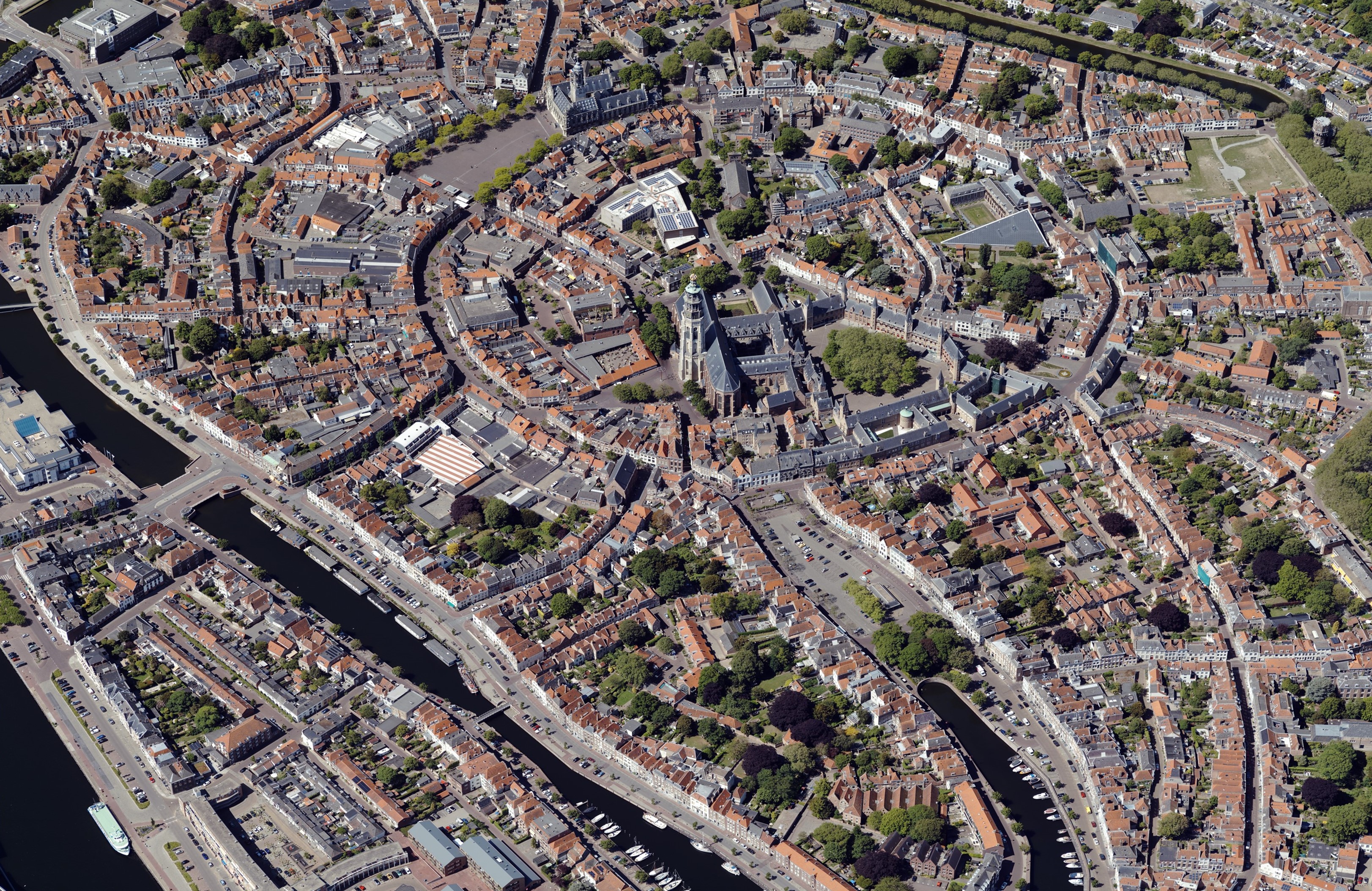
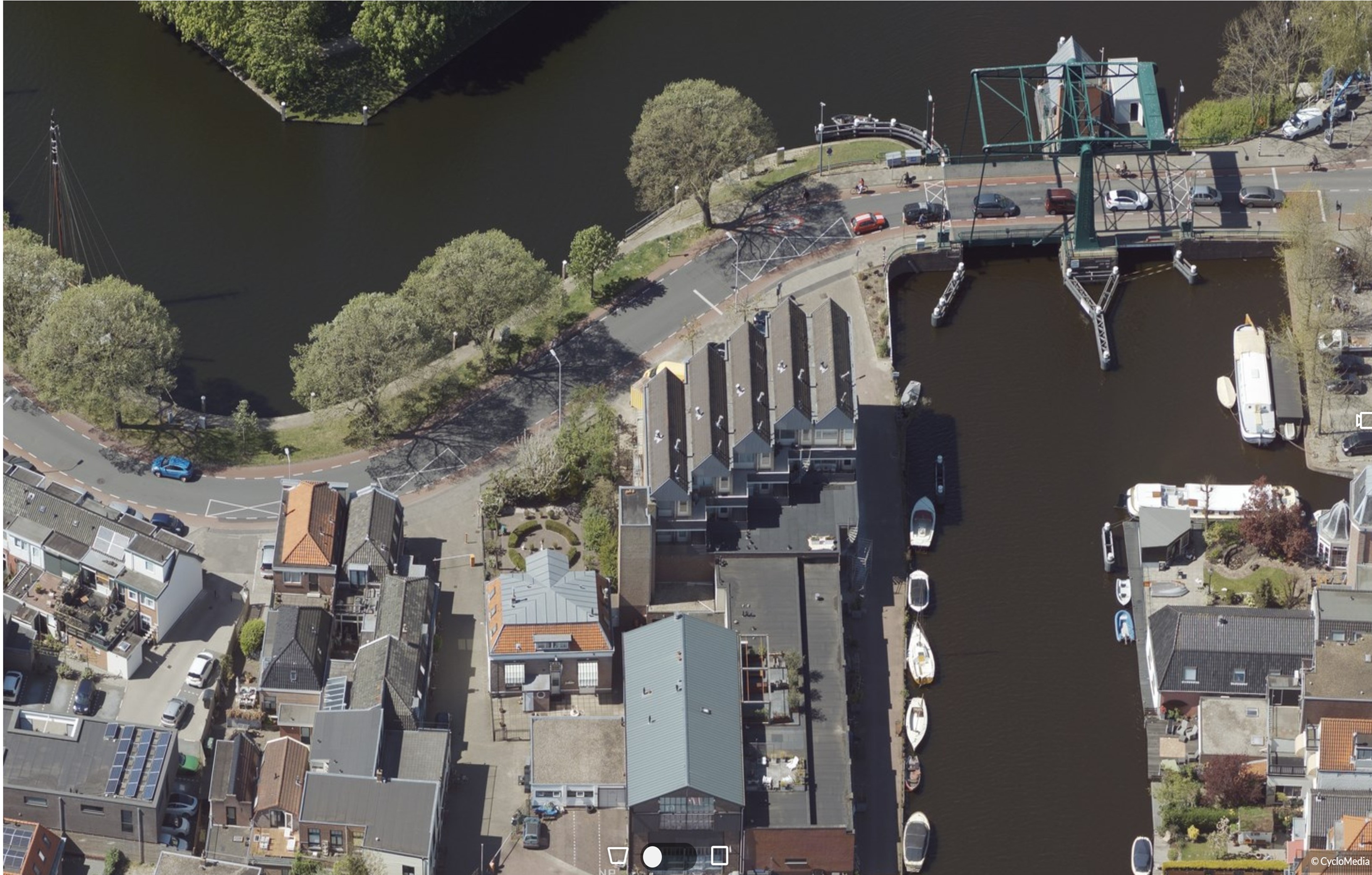
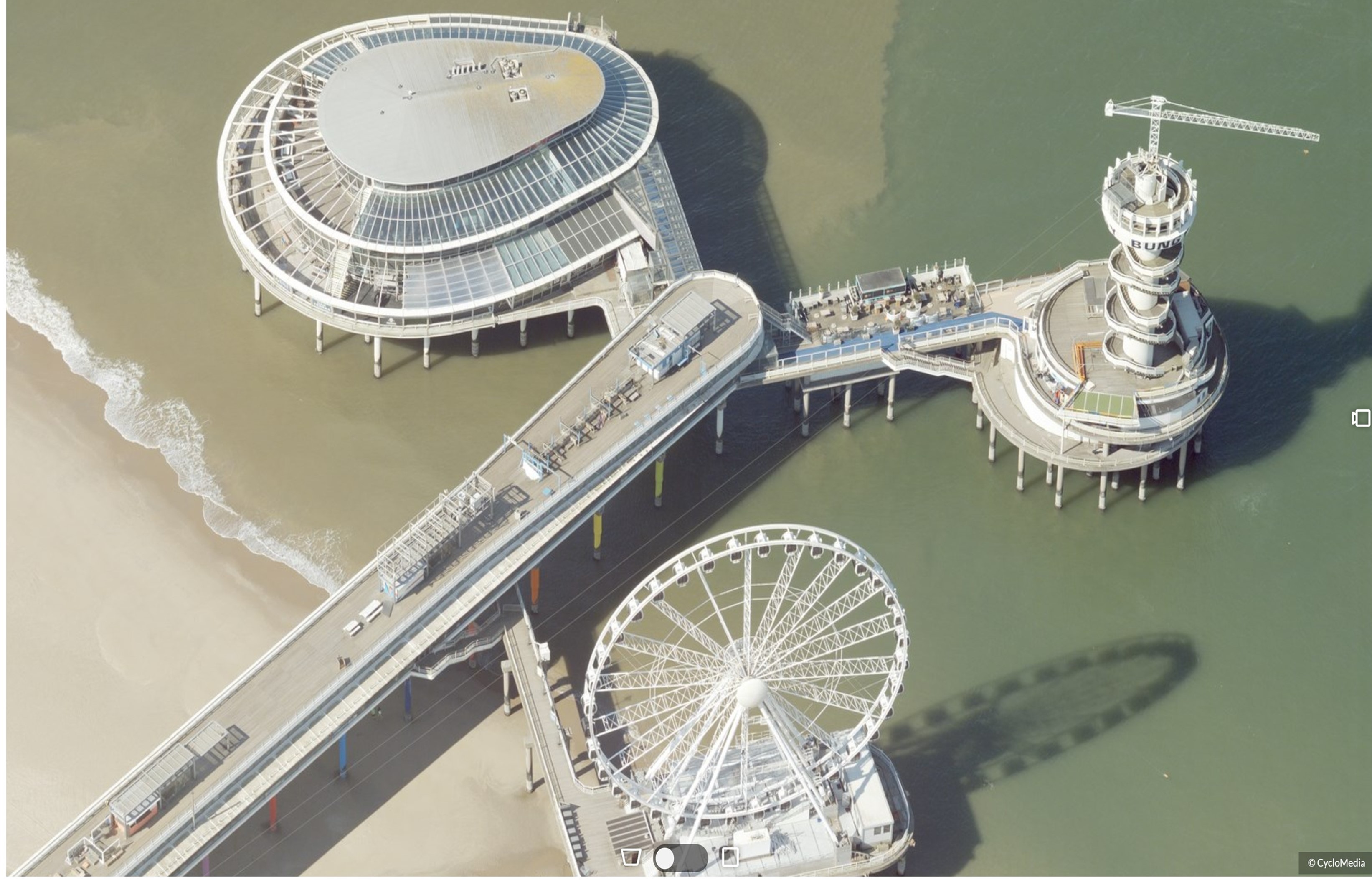
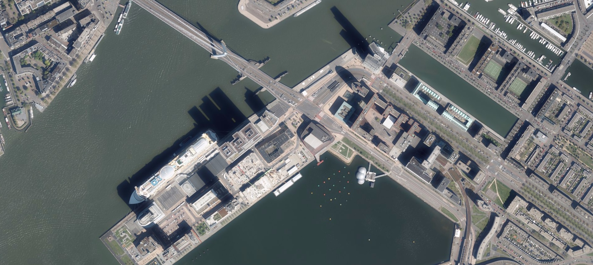
The annual acquisition of aerial imagery, in 2020 as a first in combination with the Aerial Point Cloud, is successfully completed for the whole of The Netherlands. This amazing and in The Netherlands so far unprecedented achievement on behalf of Cyclomedia Technology, was conceded to Hexagon Geosystems and completed in collaboration with Miramap Aerial Surveys, BSF Swissphoto and Vansteelandt. For the very first time, our country is served with a nationwide and colorized point cloud, which will be available in Street Smart before the end of the year and furthermore will be updated each year.
A complete and accurate representation of the public space
In addition to the high resolution aerial imagery, Cyclomedia herewith offers a comprehensive set of aerial products captured with the Leica CityMapper sensor series, with which customers can structure their work processes more efficiently. Especially in inaccessible areas that can be less well, or even not at all be seen from public roads via Cyclorama’s, as well as all other places in The Netherlands you now have a trustworthy three-dimensional source of information at your disposal. This way, you are permanently assured about a complete and accurate representation of the public space.
