Use cases | 18 February 2020
Testimonial: Amsterdam ArenAPoort & Royal HaskoningDHV
The municipality of Amsterdam has commissioned Royal HaskoningDHV to carry out the Amsterdam ArenAPoort project. This working, shopping and residential area is undergoing considerable development and becoming ever busier. New buildings are being added and traffic is increasing. To improve the flow of traffic, there is a need to widen or redesign several roads. Roza Ayad, BIM Coordinator at Royal HaskoningDHV, explains more about this project and the application of the LiDAR Point Cloud in widening and visualizing the roads in the ArenAPoort.

Accurately and quickly measure objects
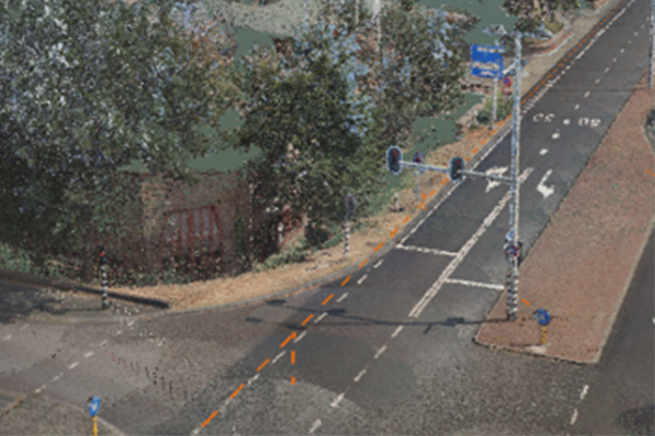
Amsterdam ArenAPoort is a difficult area to measure: there are many buildings, lots of height differences in the area and there are many different objects in the public space to take into account when developing new plans. With the help of the Cyclomedia LiDAR Point Cloud, it is possible to accurately and quickly measure the heights of the buildings and other objects in the ArenAPoort. This results in accurate and realistic measurements, which Royal HaskoningDHV can immediately visualize to show to the municipality or stakeholders in the area.
Various open-source tools are available, but this data is not always up-to-date, and it is less accurate and of lower quality than the Cyclomedia LiDAR Point Cloud.
Exporting and using in other tools
Roza uses the Cyclomedia Point Cloud to put buildings, lamp posts and other objects in the right place in a visual model. She then exports the Point Cloud files as LAS files and processes these using other software tools such Autodesk ReCap, Infraworks, Navisworks and Civil 3D to perform further measurements and visualizations.
The Cyclomedia LiDAR Point Cloud is so accurate: for me, this is the only point cloud I can really properly measure and visualize with. I can show this to the customer.
Easier collaboration
Roza considers it a major advantage that the Cyclomedia LiDAR Point Cloud will soon be available throughout the Netherlands, especially when it comes to collaboration:
Currently, everyone uses their own data and everyone has their own processes for measuring and designing. When everyone uses the Cyclomedia LiDAR Point Cloud, the collaboration becomes a lot easier.
De toekomst van LiDAR
For the future, Roza has the idea to develop a platform that enables working on objects together, just like England does using 3D Warehouse. She also sees opportunities in combining the Cyclomedia LiDAR Point Cloud with new technologies such as Digital Twin, where sensors are used to create a digital version of the environment. Digital Twin – built from a 3D BIM model, Internet of Things and Data Analytics – changes in real-time as the status of the physical asset changes. It is a mix of simulation, 3D and sensor technology, whereby a physical object is given a digital representation of itself.
Colleagues within Royal HaskoningDHV are currently being trained so they can derive more and more benefit from the Cyclomedia LiDAR Point Cloud.
