Capturing and processing data
To produce the images and LiDAR data, we use the following standardized steps: Project Preparation, Data Capturing, Data Processing, Quality Control and Data Publication.
1. Project Preparation
Advance preparation is essential to ensure we meet our client's expectations as well as an effective and efficient project execution. This preparation includes geographical scope definition, gaining authorization, and detailed project planning.
2. Data Capturing

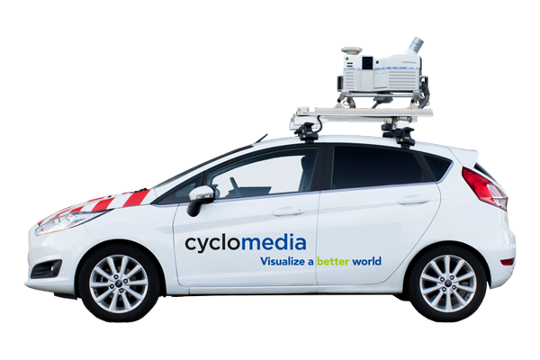
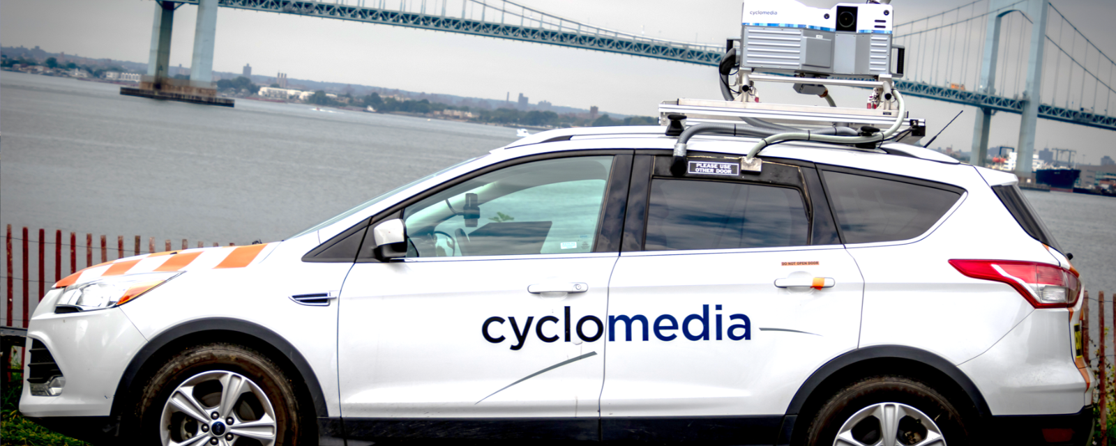
Data is captured using Cyclomedia's patented, proprietary recording system, mounted to the roof of each vehicle. The main components of this recording system are the cameras, positioning technology, data processing unit and the LiDAR system.
Our vehicles are driven by trained Cyclomedia operators. Each vehicle is equipped with a map-based interface that shows the recordings and locations of each project. As road segments are covered, their status changes to "captured." The system also clearly indicates the remaining roads still needing to be captured.
3. Data Processing
Cyclomedia's powerful cloud-based software automatically processes tens of millions of high-quality panoramic images and point clouds. This ensures sufficient capacity and stability to process annual data volumes between 190,000 and 250,000 miles.
Data Processing Steps:
- A position is created for each recording location.
- The system captures five individual images, per recording location. These single images are “stitched” together to create one parallax-free GeoCyclorama.
- Cyclomedia takes extreme care in calculating the exact GeoCyclorama positions. From the initial calculated locations, multiple adjustments are performed to improve the relative positioning.
- The final step is processing the LiDAR data into 3D GeoCycloramas and a LiDAR point cloud file.
4. Quality Control

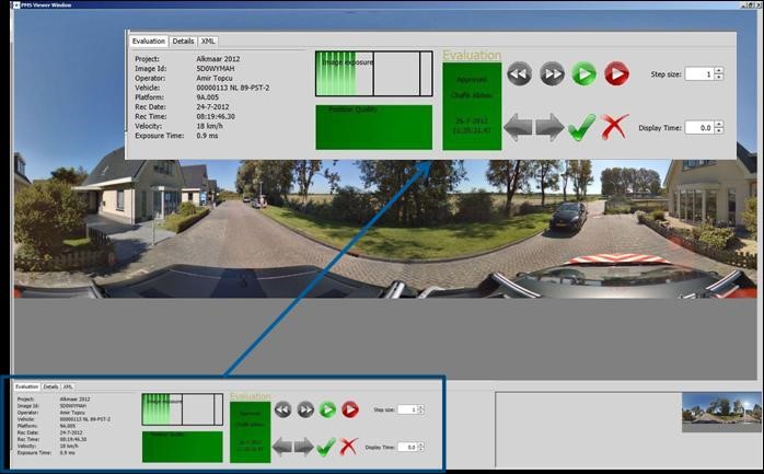
Quality Control is performed at numerous moments during the processing steps. This ensures the highest quality of the end results. This includes calibration of the capturing systems, examining image quality, both during and after capture, monitoring quality to ensure parallax-free images, and validation of positioning.
5. Publishing and Data Delivery

The data will only be published after the final processing steps have been completed. The information will then be accessible using Street Smart, Cyclomedia's online web viewer.
