Capture data from public spaces
How we capture data

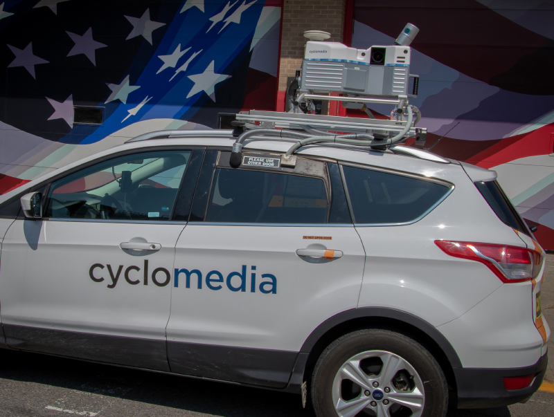
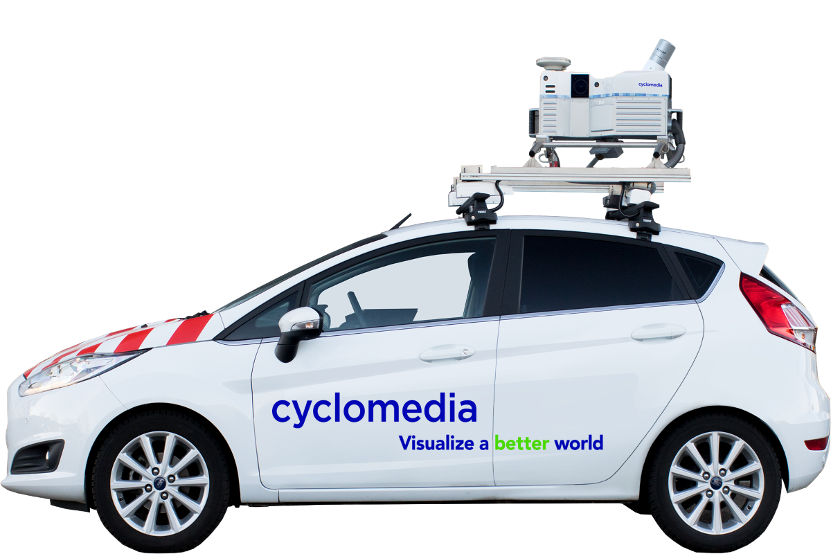
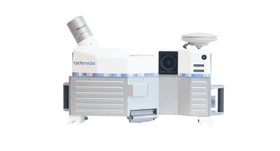
Cyclomedia captures and records visual data in public spaces using a special patented camera system mounted on our vehicles. Driving at normal speed, this camera creates 360° panoramic images and captures LiDAR data.
Unique recording system

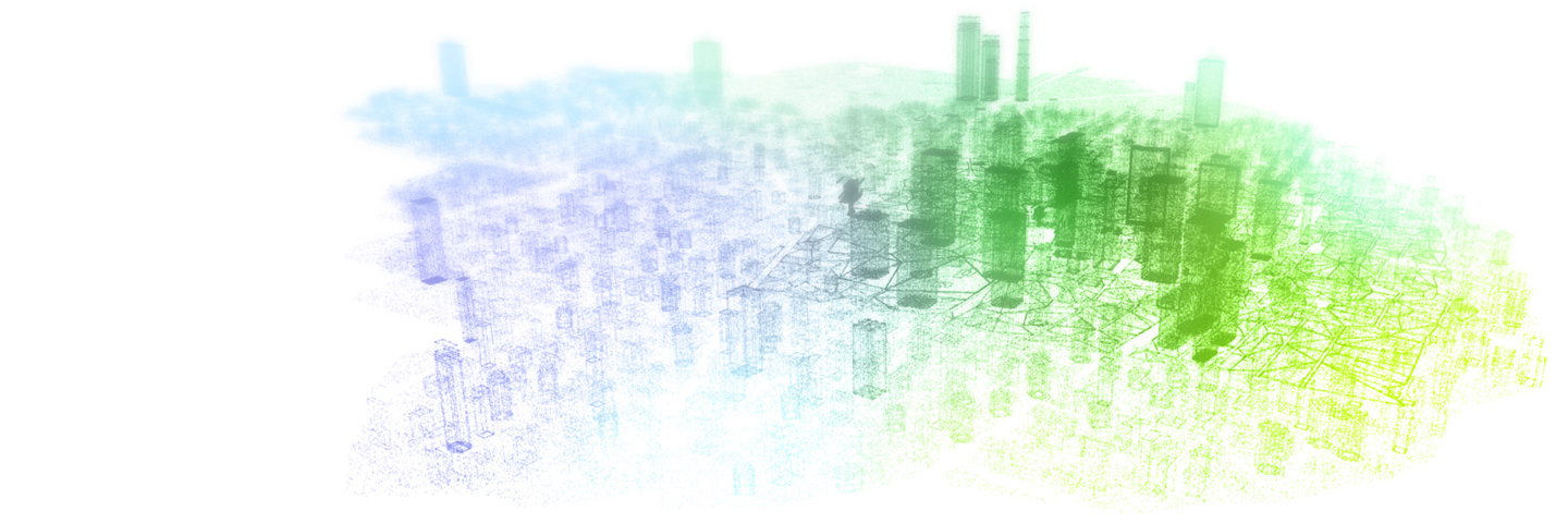
Cyclomedia has vehicles operating globally, all fully equipped with our patented street-level imagery camera and LiDAR sensor. Our system captures full 360° spherical high-resolution and geometrically accurate panoramic images. Integrated LiDAR laser sensors capture point clouds and imagery simultaneously.
The process

Cyclomedia’s powerful, cloud-based software automatically processes tens of millions of high-quality panoramic images and point clouds. To produce the images and LiDAR data, we use the following standardized steps: Project Preparation, Data Capturing, Data Processing, Quality Control and Data Publication.